Login

Forgot your login?

Cookies have to be accepted!
Your browser's cookie functionality is disabled. Please enable this functionality.

Not a member yet?

Register now
Login

Available for registred users only

Log in to use this feature.

Forgot your login?

Cookies have to be accepted!
Your browser's cookie functionality is disabled. Please enable this functionality.

Not a member yet?

Register now
Filter
Categories
Advanced filters
  • Distance (km)
  • Height
Save filters Reset filter

TrackRank

QRCode

Technical data

Distance7,1 km Height45 m Way down31 m Duration01:30 h:m Date12.06.2016
Scores Author Landscape Fun factor Fitness Technique

Statistics

215 Views Scores 7 Downloads Average
Rate
  • Track data sheet
  • Directions
  • Downloads

Aan Wijgmaal Brug heb je de mogelijkheid om de wagen te parkeren en eentje te drinken in het Geniep.

De Maritime aan het sas is pas vanaf 12u geopend.
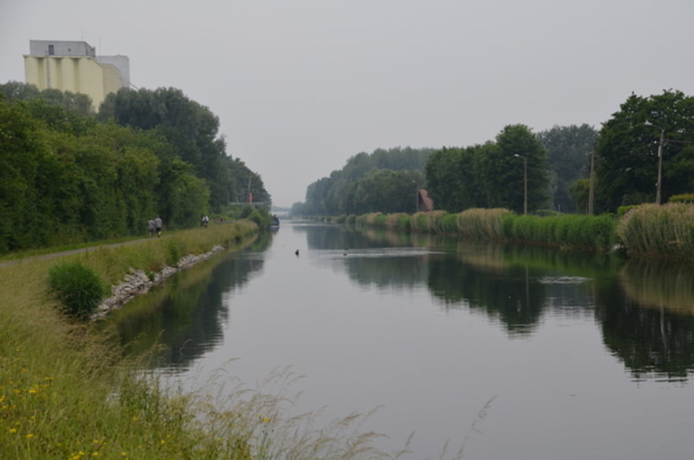
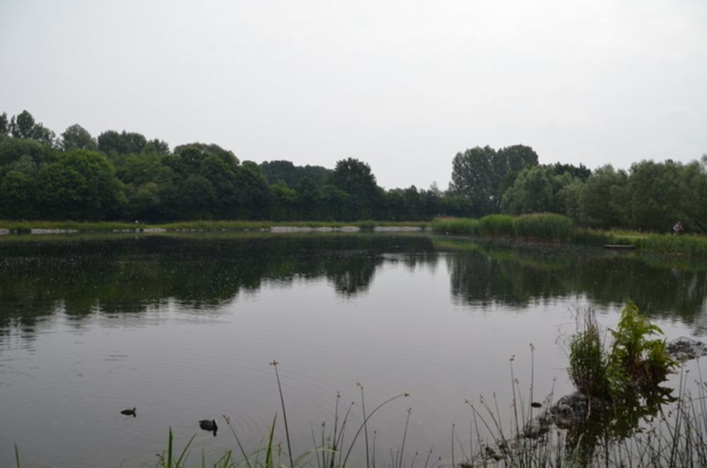
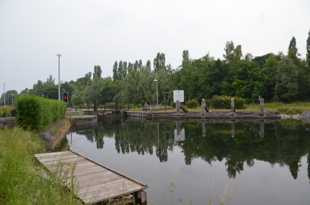
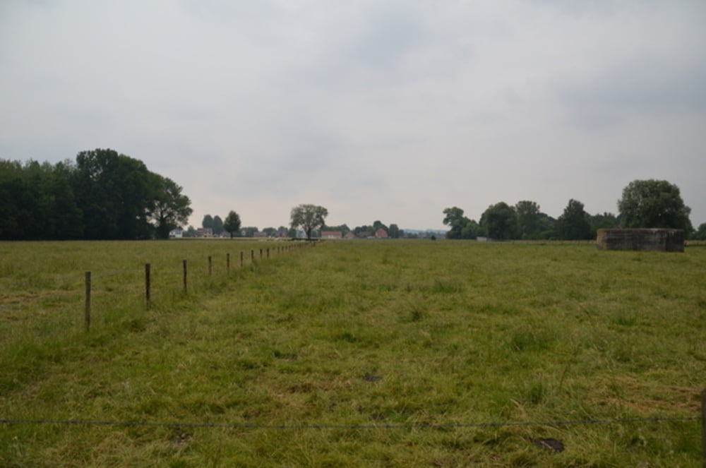
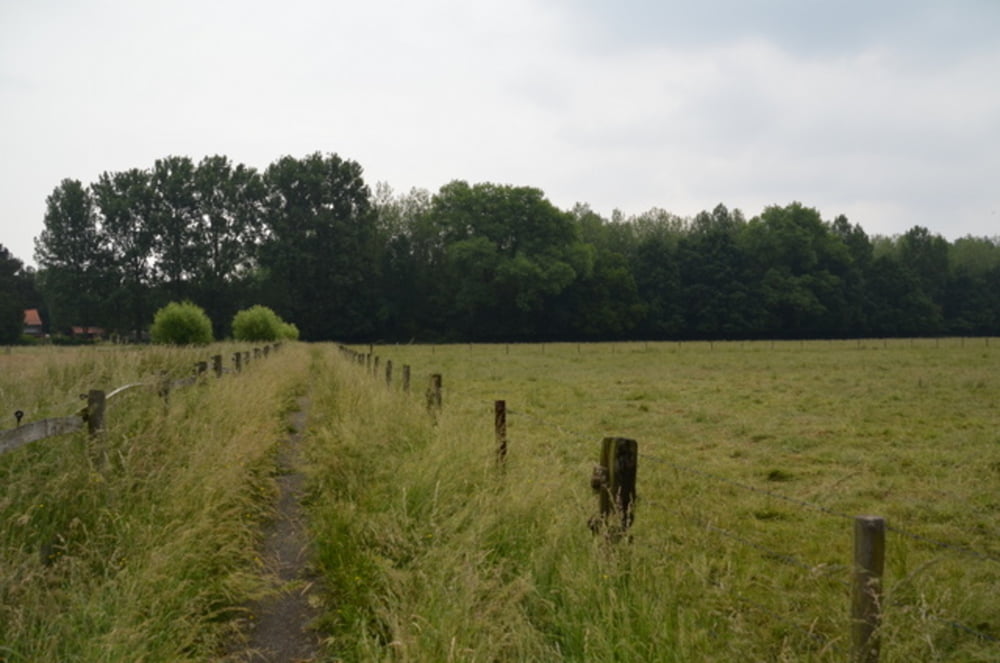
 

Tour gallery

Tour map and elevation profile

  • Open Street Map
  • Google
Minimum height 1 m Maximum height 27 m Detailed view

More about the tour author

ikkel
Member since 2009

Send private message

Comments

GPS tracks

Trackpoints
  • GPX / Garmin Map Source (gpx) download
  • TCX / Garmin Training Center® (tcx) download
  • CRS / Garmin Training Center® (crs) download
  • Google Earth (kml) download
  • G7ToWin (g7t) download
  • TTQV (trk) download
  • Overlay (ovl) download
  • Fugawi (txt) download
  • Kompass (DAV) Track (tk) download
  • Track data sheet (pdf) download
  • Original file of the author (gpx) download

More about the tour author

ikkel
Member since 2009

Send private message
Share track
Add to my favorites
Remove from my favorites
Edit tags
My score
Rate
Track: via de vaart naar het sas
Type: Hiking
Distance: 7,1 km
Evaluated on:
Duration:
Day(s)
Hour(s)
Minute(s)
Score: Landscape Fun factor Fitness Technique