Login

Forgot your login?

Cookies have to be accepted!
Your browser's cookie functionality is disabled. Please enable this functionality.

Not a member yet?

Register now
Login

Available for registred users only

Log in to use this feature.

Forgot your login?

Cookies have to be accepted!
Your browser's cookie functionality is disabled. Please enable this functionality.

Not a member yet?

Register now
Filter
Categories
Advanced filters
  • Distance (km)
  • Height
Save filters Reset filter

TrackRank

QRCode

Technical data

Distance5,8 km Height133 m Way down286 m Duration00:00 h:m Date25.06.2016
Scores Author Landscape Fun factor Fitness Technique

Statistics

401 Views Scores 22 Downloads Average
Rate
  • Track data sheet
  • Directions
  • Downloads
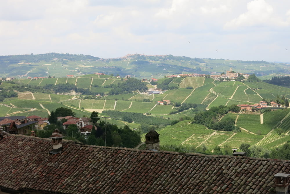
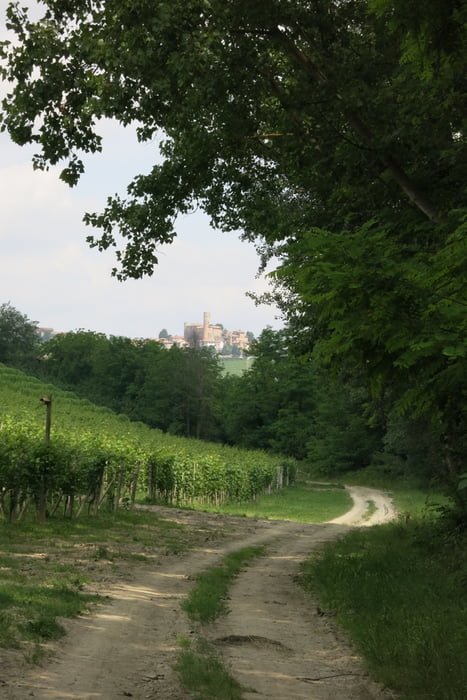
Leichte angenehme Wanderung von Monforte nach Seralunga mit relativ starkem Anstieg am Ende der Tour.

Tour gallery

Tour map and elevation profile

  • Open Street Map
  • Google
Minimum height 258 m Maximum height 543 m Detailed view

More about the tour author

Essal02
Member since 2015

Send private message

Comments

Aus Richtung Roddino kommend kurz vor den Restaurant Trattoria Terra Luna rechts abbiegen.


GPS tracks

Trackpoints
  • GPX / Garmin Map Source (gpx) download
  • TCX / Garmin Training Center® (tcx) download
  • CRS / Garmin Training Center® (crs) download
  • Google Earth (kml) download
  • G7ToWin (g7t) download
  • TTQV (trk) download
  • Overlay (ovl) download
  • Fugawi (txt) download
  • Kompass (DAV) Track (tk) download
  • Track data sheet (pdf) download
  • Original file of the author (gpx) download

More about the tour author

Essal02
Member since 2015

Send private message
Share track
Add to my favorites
Remove from my favorites
Edit tags
My score
Rate
Track: Monforte d'Alba - Seralunga
Type: Hiking
Distance: 5,8 km
Evaluated on:
Duration:
Day(s)
Hour(s)
Minute(s)
Score: Landscape Fun factor Fitness Technique