
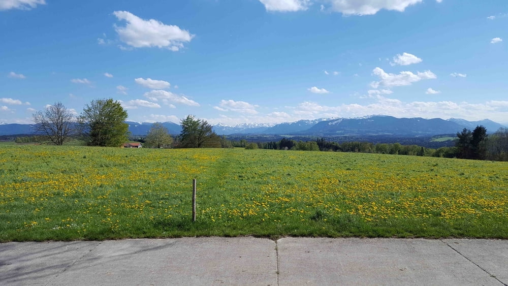

Mal keine Lust auf Start im Perlacher Forst? Hier gehts über eine Alternativroute raus aus der Stadt Richtung Otterfing. Von da an auf kleinen Straßen nach Bairawies wo der Anstieg nach Peretshofen beginnt. Oben wartet eine Gastwirtschaft oder (besser) für Selbstversorger ein kleines Bankerl mit Traumaussicht. Zurück auf besten Asphalt und mit wenigen Autos über Ascholding, Pupplinger Au und Perlacher Forst.
Eine super Runde die ich immer wieder gerne fahre. Bis auf kurze Ausnahmen in Stadtnähe ist die Strecke absolut verkehrsarm.
Ich wünsche euch bei der Tour viel Spaß!
Tour map and elevation profile
Minimum height 459 m
Maximum height 679 m
More about the tour author

|
stefanlos |
Comments

Zur Anfahrt gibt's wohl nicht viel zu sagen weil ja jeder seinen individuellen Weg innerhalb der Stadt hat.
Falls einer mit dem Auto anreist kann er beim Heizkraftwerk ohne Parkschein parken
GPS tracks
Trackpoints-
GPX / Garmin Map Source (gpx) download
-
TCX / Garmin Training Center® (tcx) download
-
CRS / Garmin Training Center® (crs) download
-
Google Earth (kml) download
-
G7ToWin (g7t) download
-
TTQV (trk) download
-
Overlay (ovl) download
-
Fugawi (txt) download
-
Kompass (DAV) Track (tk) download
-
Track data sheet (pdf) download
-
Original file of the author (gpx) download
More about the tour author
|
|
stefanlos |
Add to my favorites
Remove from my favorites
Edit tags
Open track
My score
Rate