


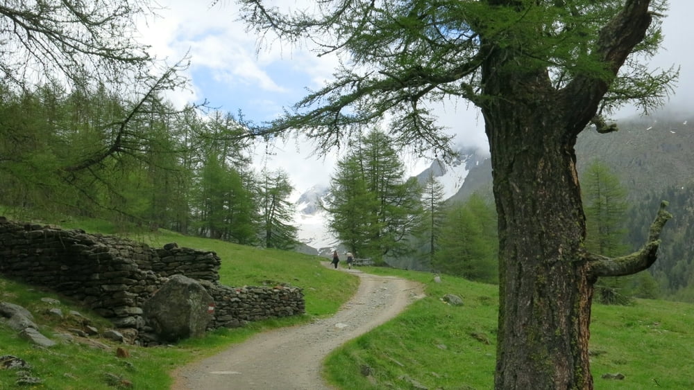
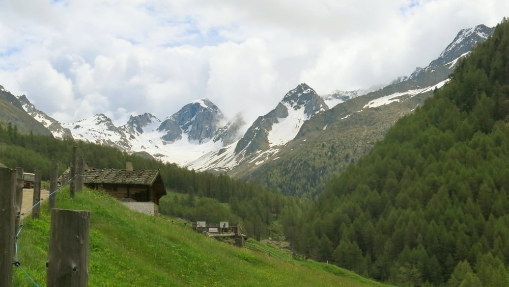
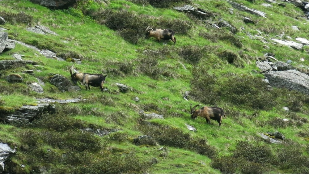
Vom Parkplatz geht es im Pfossental immer leicht bergan zur Eishof- Hütte in großem Bergkessel. Nach einer gemütlichen Einkehr auf gleichem Weg zurück. Steinböcke sieht man offensichtlich des Öfteren an einem gegenüber liegenden Steilhang oberhalb des Baches im 1. Drittel des Wegs.
HINWEIS zum Video:
Mit Mozilla Firefox und Flash- Player Plugin startet das Video direkt.
Andernfalls verwendet ihr in eurem Browser den Link:
https://www.google.de/#q=X7hbVoWCi2k
Tour gallery
Tour map and elevation profile
Minimum height 1691 m
Maximum height 2078 m
More about the tour author
|
|
heinz-57 |
Comments

Von Naturns kommend ins Schnalstal, bei Karthaus ab ins Pfossental. Beim Vorderkaser Parkplatz.
GPS tracks
Trackpoints-
GPX / Garmin Map Source (gpx) download
-
TCX / Garmin Training Center® (tcx) download
-
CRS / Garmin Training Center® (crs) download
-
Google Earth (kml) download
-
G7ToWin (g7t) download
-
TTQV (trk) download
-
Overlay (ovl) download
-
Fugawi (txt) download
-
Kompass (DAV) Track (tk) download
-
Track data sheet (pdf) download
-
Original file of the author (gpx) download
More about the tour author
|
|
heinz-57 |
Add to my favorites
Remove from my favorites
Edit tags
Open track
My score
Rate