


Ich wanderte vom Smarthotel durch das Gewerbegebiet in Richtung Rhein.
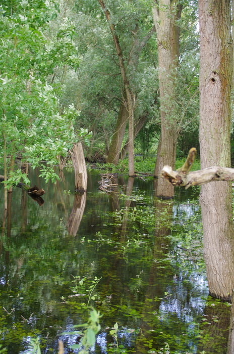
Bei erster Gelegenheit zog ich es vor auf dem Deich zu gehen. Dabei genoss ich den Ausblick auf die Obstgärten und konnte auch das hoch stehende Wasser des Rheins sehen. Ein kliner Abstecher in den Auwald musste ich wegen des hohen Wasserstandes abbrechen.
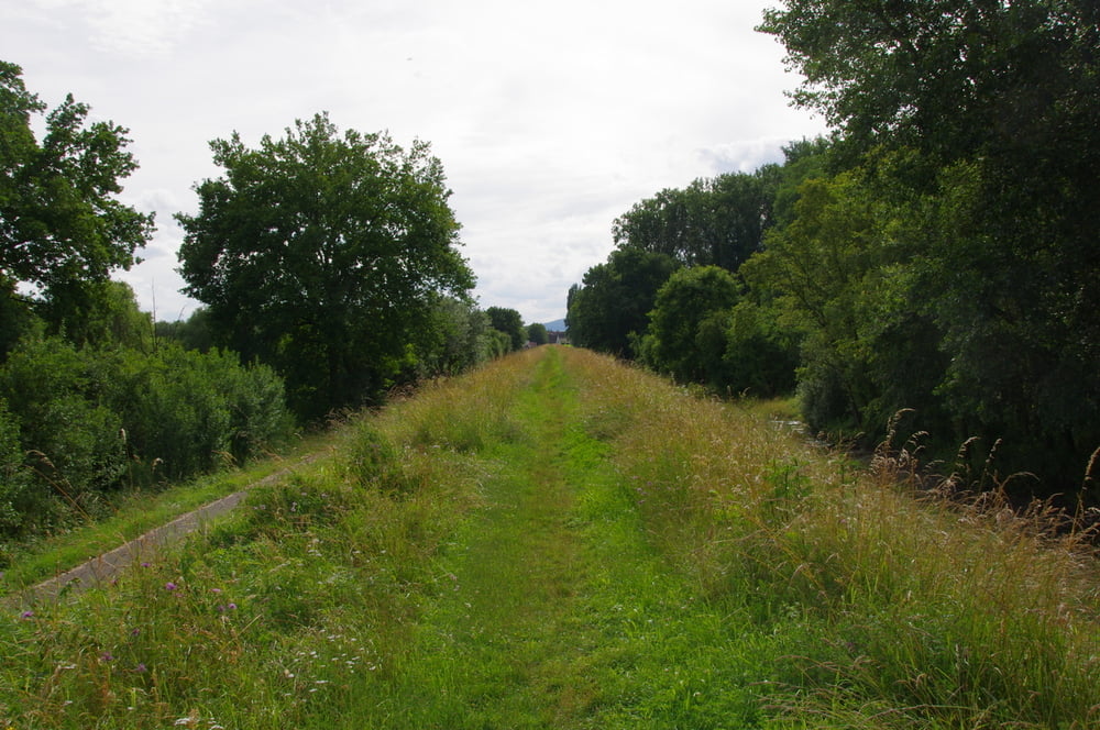
Auf dem Deich erreichte ich die Rheinfähre von Ingelheim nach Oestrich - Winkel.
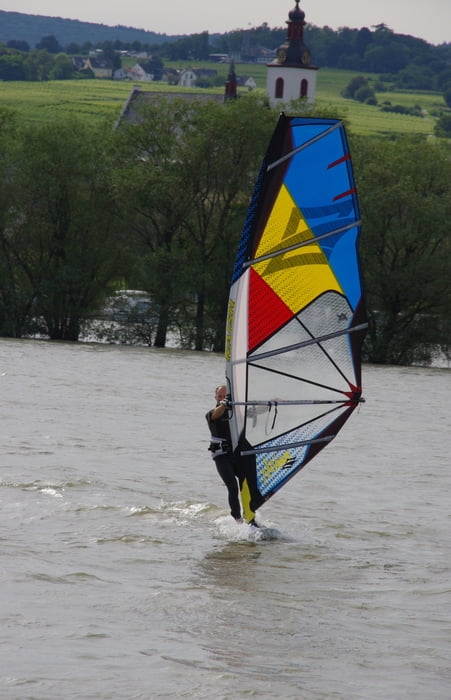
Weil eine Überfahrt bei dem hohen Wasserstand interessant sein könnte und weil die Fähre gerade ankam gieng ich an Bord und fuhr einmal nach Hessen und zurück.
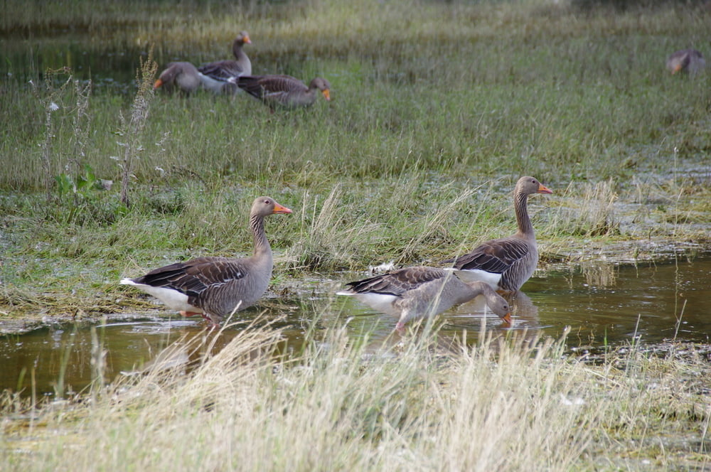
Vor dem Rückweg kehrte ich noch kurz im Biergarten ein. Anschließend wanderte ich durch das sandige Gebiet der Ingelheimer Dünen und Sande.
Den restlichen Rückweg nahm ich an der Kläranlage vorbei.
Bei erster Gelegenheit zog ich es vor auf dem Deich zu gehen. Dabei genoss ich den Ausblick auf die Obstgärten und konnte auch das hoch stehende Wasser des Rheins sehen. Ein kliner Abstecher in den Auwald musste ich wegen des hohen Wasserstandes abbrechen.
Auf dem Deich erreichte ich die Rheinfähre von Ingelheim nach Oestrich - Winkel.
Weil eine Überfahrt bei dem hohen Wasserstand interessant sein könnte und weil die Fähre gerade ankam gieng ich an Bord und fuhr einmal nach Hessen und zurück.
Vor dem Rückweg kehrte ich noch kurz im Biergarten ein. Anschließend wanderte ich durch das sandige Gebiet der Ingelheimer Dünen und Sande.
Den restlichen Rückweg nahm ich an der Kläranlage vorbei.
Further information at
https://de.wikipedia.org/wiki/Ingelheim_am_RheinTour gallery
Tour map and elevation profile
Minimum height 84 m
Maximum height 91 m
More about the tour author
|
|
Pheinz |
Comments

GPS tracks
Trackpoints-
GPX / Garmin Map Source (gpx) download
-
TCX / Garmin Training Center® (tcx) download
-
CRS / Garmin Training Center® (crs) download
-
Google Earth (kml) download
-
G7ToWin (g7t) download
-
TTQV (trk) download
-
Overlay (ovl) download
-
Fugawi (txt) download
-
Kompass (DAV) Track (tk) download
-
Track data sheet (pdf) download
-
Original file of the author (gpx) download
More about the tour author
|
|
Pheinz |
Add to my favorites
Remove from my favorites
Edit tags
Open track
My score
Rate