


Ich wanderte aus dem Gewerbegebiet von Kirkel Neuhäusel kommend über den Bahnhof in die Ortsmitte um mich dort ein wenig einzudecken.
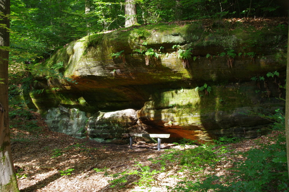
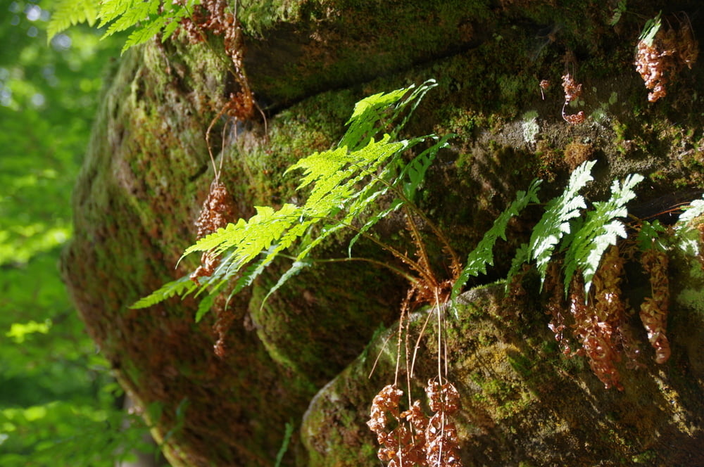
Anschließend wanderte ich am Hang oberhalb des Kirkeler Tales zum Rehbrünnlein und auf einem schönen Weg weiter im Hang des Kirkeler Waldes bis ich Peters Eiche erreichte.
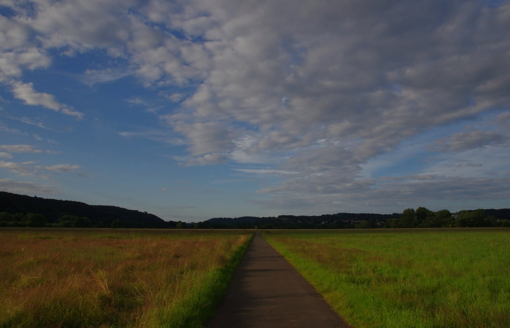
Von dort steig ich nach Bierbach an der Blies ab und wanderte in der Talaue der Blies nach Ingweiler und weiter nach Schwarzenbach.
Further information at
https://de.wikipedia.org/wiki/Saarpfalz-KreisTour gallery
Tour map and elevation profile
Minimum height 231 m
Maximum height 345 m
More about the tour author
|
|
Pheinz |
Comments

Start im Gewerbegebiet von Kirkel Neuhäusel.
GPS tracks
Trackpoints-
GPX / Garmin Map Source (gpx) download
-
TCX / Garmin Training Center® (tcx) download
-
CRS / Garmin Training Center® (crs) download
-
Google Earth (kml) download
-
G7ToWin (g7t) download
-
TTQV (trk) download
-
Overlay (ovl) download
-
Fugawi (txt) download
-
Kompass (DAV) Track (tk) download
-
Track data sheet (pdf) download
-
Original file of the author (gpx) download
More about the tour author
|
|
Pheinz |
Add to my favorites
Remove from my favorites
Edit tags
Open track
My score
Rate