Login

Forgot your login?

Cookies have to be accepted!
Your browser's cookie functionality is disabled. Please enable this functionality.

Not a member yet?

Register now
Login

Available for registred users only

Log in to use this feature.

Forgot your login?

Cookies have to be accepted!
Your browser's cookie functionality is disabled. Please enable this functionality.

Not a member yet?

Register now
Filter
Categories
Advanced filters
  • Distance (km)
  • Height
Save filters Reset filter

TrackRank

QRCode

Technical data

Distance164,4 km Height1433 m Way down1428 m Duration05:34 h:m Date04.07.2016
Scores Author Landscape Fun factor Fitness Technique

Statistics

364 Views Scores 21 Downloads Average
Rate
  • Track data sheet
  • Directions
  • Downloads

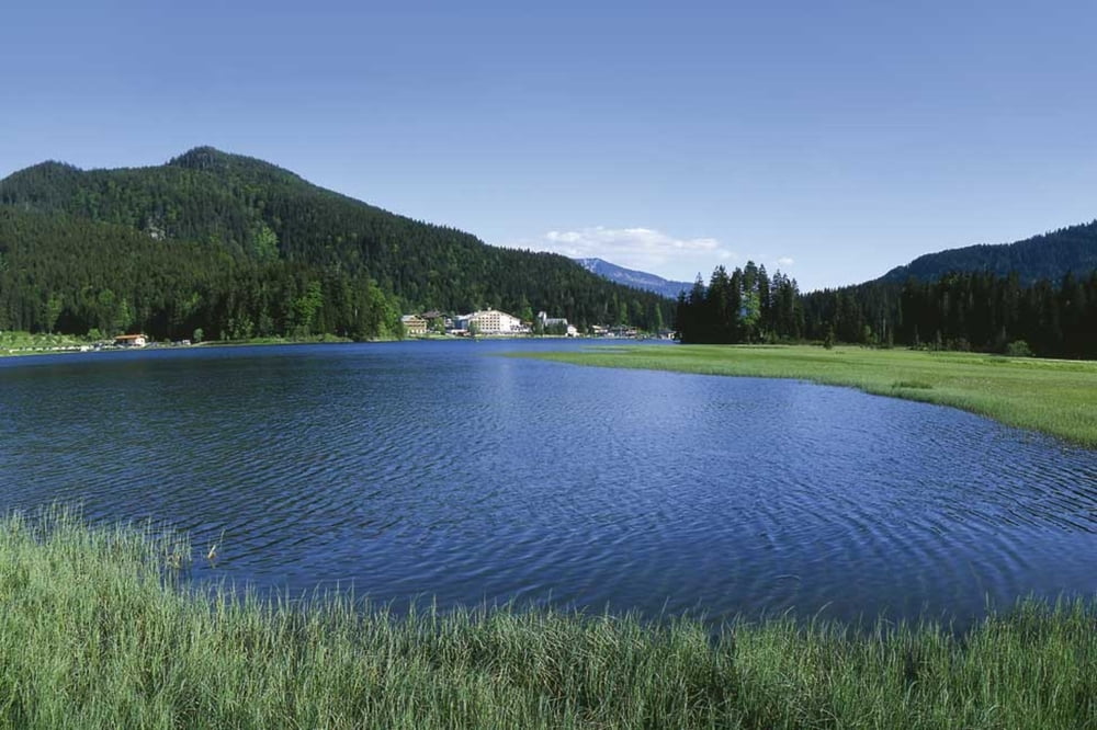
Schöne knackige Tour von Markt Schwaben aus Richtung Süden über Tegernsee hinauf zum Spitzingsee. Heimwärts geht es über Bad Aibling und Ebersberg.


Tour map and elevation profile

  • Open Street Map
  • Google
Minimum height 485 m Maximum height 1126 m Detailed view

More about the tour author

Hasenbaer
Member since 2013

Send private message

Comments

Markt Schwaben siehe google Maps

GPS tracks

Trackpoints
  • GPX / Garmin Map Source (gpx) download
  • TCX / Garmin Training Center® (tcx) download
  • CRS / Garmin Training Center® (crs) download
  • Google Earth (kml) download
  • G7ToWin (g7t) download
  • TTQV (trk) download
  • Overlay (ovl) download
  • Fugawi (txt) download
  • Kompass (DAV) Track (tk) download
  • Track data sheet (pdf) download
  • Original file of the author (gpx) download

More about the tour author

Hasenbaer
Member since 2013

Send private message
Share track
Add to my favorites
Remove from my favorites
Edit tags
My score
Rate
Track: Markt Schwaben- Tegernsee- Spitzingsee- Ebersberg
Type: Road biking
Distance: 164,4 km
Evaluated on:
Duration:
Day(s)
Hour(s)
Minute(s)
Score: Landscape Fun factor Fitness Technique