


- Fahrtrichtung: Gegen den Uhrzeigersinn
- Start/Ziel: Prad am Stilfserjoch(MH. 820)
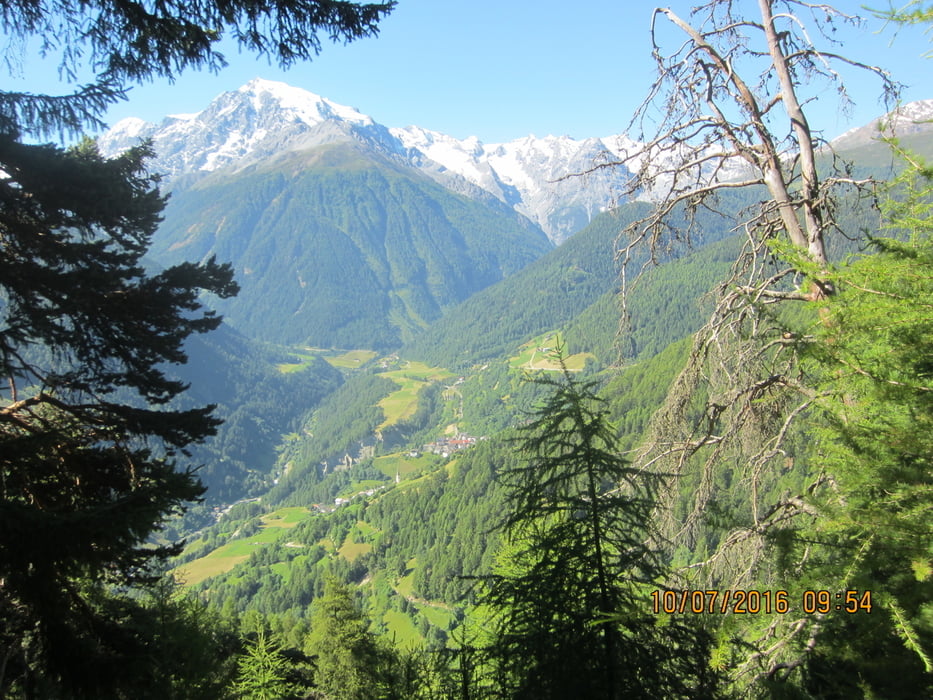
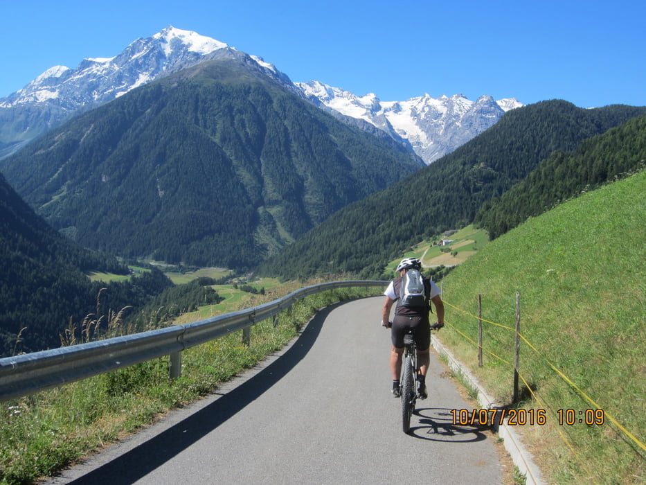
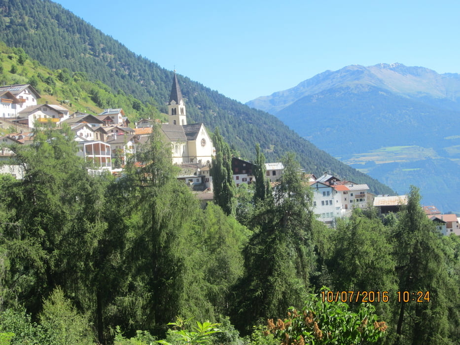
- Rundkurs im Nationalpark Stilfserjoch. Kurzes Einfahren bis Agums. Ca. 10 Km. Teer- bzw. guter Schotterstrasse (mittelsteil, gleichmässig) durch den Wald bis zur Schartalm (MH.1.818). Von der Schartalm herrlicher Ausblick auf das Ortlermassiv. Abfahrt auf Schotter u. Teer u. einem Karrenweg zum sehenswerten Haufendorf Stilfs. Über Gomagoi talauswärts auf der Stilfserjocher Staatsstrasse zurück nach Prad.Einkehrmöglichkeiten: Stilfs, Gomagoi.
- Weitere schöne MTB-Touren: "Mountainbiken im Vinschgau" Tappeiner Verlag, von Siegi Weisenhorn.
Tour gallery

Tour map and elevation profile
Minimum height 821 m
Maximum height 1819 m
More about the tour author
|
|
MargesinFriedrich |
Comments

GPS tracks
Trackpoints-
GPX / Garmin Map Source (gpx) download
-
TCX / Garmin Training Center® (tcx) download
-
CRS / Garmin Training Center® (crs) download
-
Google Earth (kml) download
-
G7ToWin (g7t) download
-
TTQV (trk) download
-
Overlay (ovl) download
-
Fugawi (txt) download
-
Kompass (DAV) Track (tk) download
-
Track data sheet (pdf) download
-
Original file of the author (gpx) download
More about the tour author
|
|
MargesinFriedrich |
Add to my favorites
Remove from my favorites
Edit tags
Open track
My score
Rate