


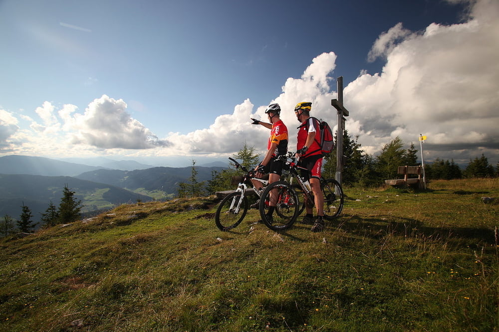
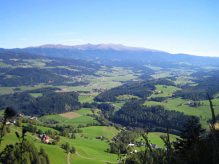
Landschaftlich sehr schön gelegegene MTB Tour. Zum größten Teil auf Schotterwegen und Forstwegen. Die Tour ist ab dem Auerlingsee bis Steirisch Lassnitz als Kärntner Grenzweg 14/133 markiert.
Von Lassnitz geht es in östlicher Richtung entlang der Landesstraße bis St. Blasen.
Der letzte Abschnitt führt über den Podolerteich und Vockenberg zurück zum Ausgangspunkt.
Tour gallery
Tour map and elevation profile
Minimum height 717 m
Maximum height 1607 m
More about the tour author
|
|
sportfred1611 |
Comments

Graz- St. Michael- Judenburg- Scheifling- Neumarkt
Klagenfurt- St. Veit - Friesach -Neumarkt
Salzburg- Tamsweg- Murau- Teufenbach- Neumarkt
Startpunkt St. Marein bei Neumarkt vor der Kirche. Gebührenfreier Parkplatz vorhanden. Gebührenfreie Parkmöglichkeiten auch in unmittelbarer Nähe der ÖMV Tankstelle vorhanden
GPS tracks
Trackpoints-
GPX / Garmin Map Source (gpx) download
-
TCX / Garmin Training Center® (tcx) download
-
CRS / Garmin Training Center® (crs) download
-
Google Earth (kml) download
-
G7ToWin (g7t) download
-
TTQV (trk) download
-
Overlay (ovl) download
-
Fugawi (txt) download
-
Kompass (DAV) Track (tk) download
-
Track data sheet (pdf) download
-
Original file of the author (gpx) download
More about the tour author
|
|
sportfred1611 |
Add to my favorites
Remove from my favorites
Edit tags
Open track
My score
Rate