


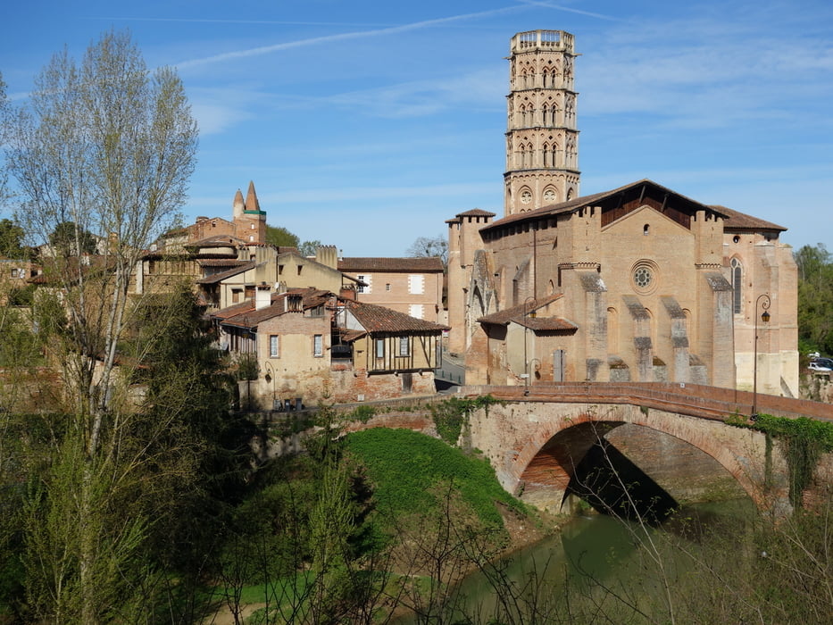
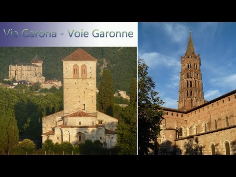
Via Garona - Voie Garonne (GR861) de Toulouse à Saint-Bertrand de Comminges
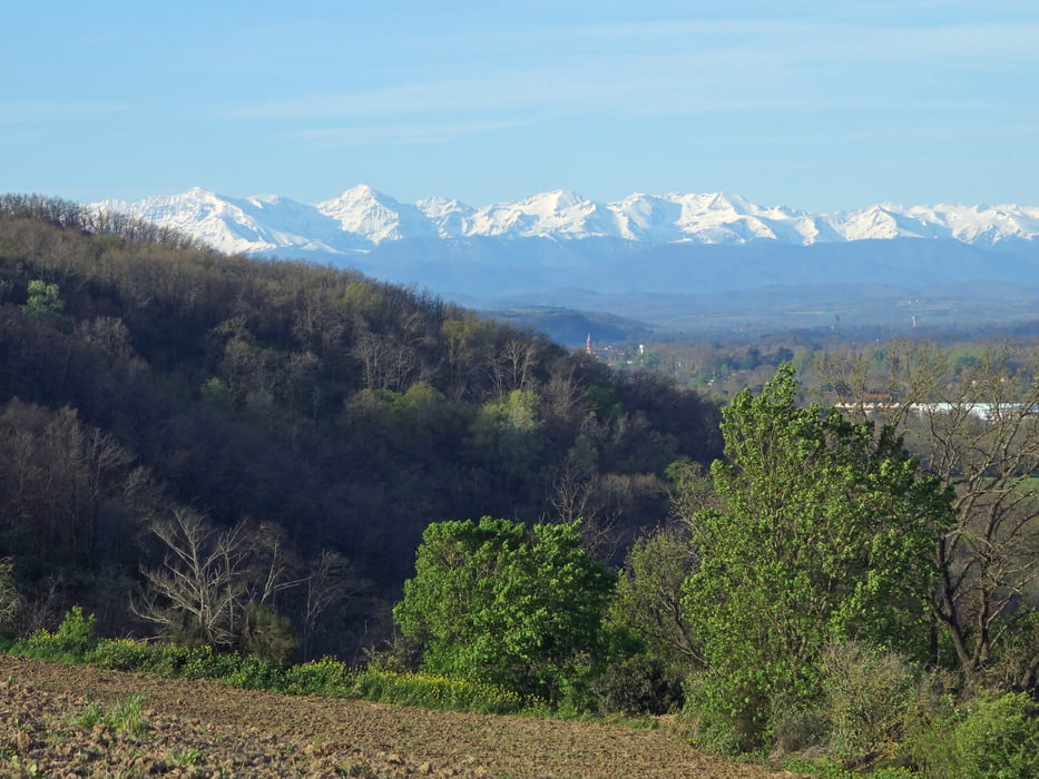
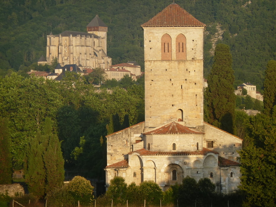
Superbe parcours qui mêle environnement naturel (bord sauvage de la Garonne, coteaux avec vues sur les Pyrénées) et histoire (Rieux-Volvestre, Bonnefont, Saint-Gaudens, Valcabrère, Saint-Bertrand de Comminges...).
Le tracé est balisé GR depuis le printemps 2017. Par endroit, je propose un itinéraire alternatif à celui balisé (notamment avant et après Saint-Gaudens, pour l'arrivée sur Portet/G, vers Estantens, Boussens...). Pour ceux qui veulent rester sur le GR, suivre les traces.
Description détaillée des points d'intérêt du parcours sur l'Espace Loisirs IGN
Tour gallery
Tour map and elevation profile
Minimum height 162 m
Maximum height 589 m
More about the tour author

|
sjeanmarc |
Comments

GPS tracks
Trackpoints-
GPX / Garmin Map Source (gpx) download
-
TCX / Garmin Training Center® (tcx) download
-
CRS / Garmin Training Center® (crs) download
-
Google Earth (kml) download
-
G7ToWin (g7t) download
-
TTQV (trk) download
-
Overlay (ovl) download
-
Fugawi (txt) download
-
Kompass (DAV) Track (tk) download
-
Track data sheet (pdf) download
-
Original file of the author (gpx) download
More about the tour author
|
|
sjeanmarc |
Add to my favorites
Remove from my favorites
Edit tags
Open track
My score
Rate