


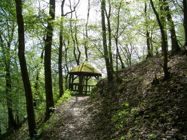
Von Heimbach bis Gemünd durch das Oleftal zur Oleftalsperre und über Simmerath nach Langerwehe
Ausgangspunkt dieser Punkt-zu-Punkt-Fahrt ist der Bahnhof Langerwehe. Mit der Euregiobahn fahre ich bis Düren und steige um in die Rurtalbahn. Diese befördert mich bis Heimbach, wo ich dann die eigentliche Mountainbike-Tour starte.
Die "Trails of Olef" hat einen etwas höheren Singletrail-Anteil. Es werden jedoch genauso wie bei der Höhentour eher breite Forstwege genutzt.
Näheres auf: www.xcracer.de/stre05_oil_of_olef.htm
Further information at
http://www.xcracer.de/stre05_oil_of_olef.htmTour gallery
Tour map and elevation profile
Minimum height 140 m
Maximum height 628 m
More about the tour author

|
XCRacer |
Comments
A4 - Abf. Langerwehe
Ausschilderung Langerwehe / Bahnhof
Ausschilderung Langerwehe / Bahnhof
GPS tracks
Trackpoints-
GPX / Garmin Map Source (gpx) download
-
TCX / Garmin Training Center® (tcx) download
-
CRS / Garmin Training Center® (crs) download
-
Google Earth (kml) download
-
G7ToWin (g7t) download
-
TTQV (trk) download
-
Overlay (ovl) download
-
Fugawi (txt) download
-
Kompass (DAV) Track (tk) download
-
Track data sheet (pdf) download
-
Original file of the author (g7t) download
More about the tour author
|
|
XCRacer |
Add to my favorites
Remove from my favorites
Edit tags
Open track
My score
Rate
Sieht sehr gut aus...
die Runde sieht ja mal wieder sehr gut aus.
Werden wir wohl mal in der nächsten Zeit nachfahren, aber mit Start und Ziel in Kronenburg. Würden ab Kesternich irgendwo um den Rursee bis Heimbach und von da weitermachen Richtung Kronenburg...