


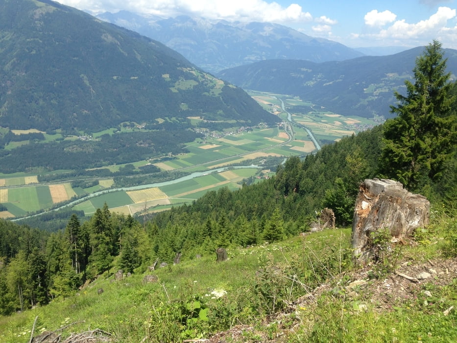
Start der Tour ist in Naggl, über die Seestraße und den Radweg geht es entlang dem Weißensee bis Oberdorf, danach weiter auf der Straße Richtung Kreuzberg.
Kurz vor der Kreuzung beim Kreuzwirt reschts abbiegen Richtung Tschabitscher, nach ca. 300m auf der Straße links die Forststraße nach Tröbelsberg.
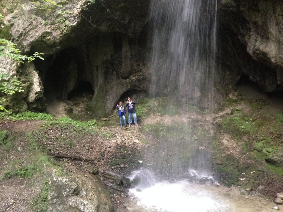
Ab Tröbelsberg geht es auf der Straße, wo sich die Abzweigung zum Wasserfall befindet, und ein kleines Stück Forststraße zum Drautalradweg.
Dem Radweg durch Gajach bis nach Fellbach folgen.
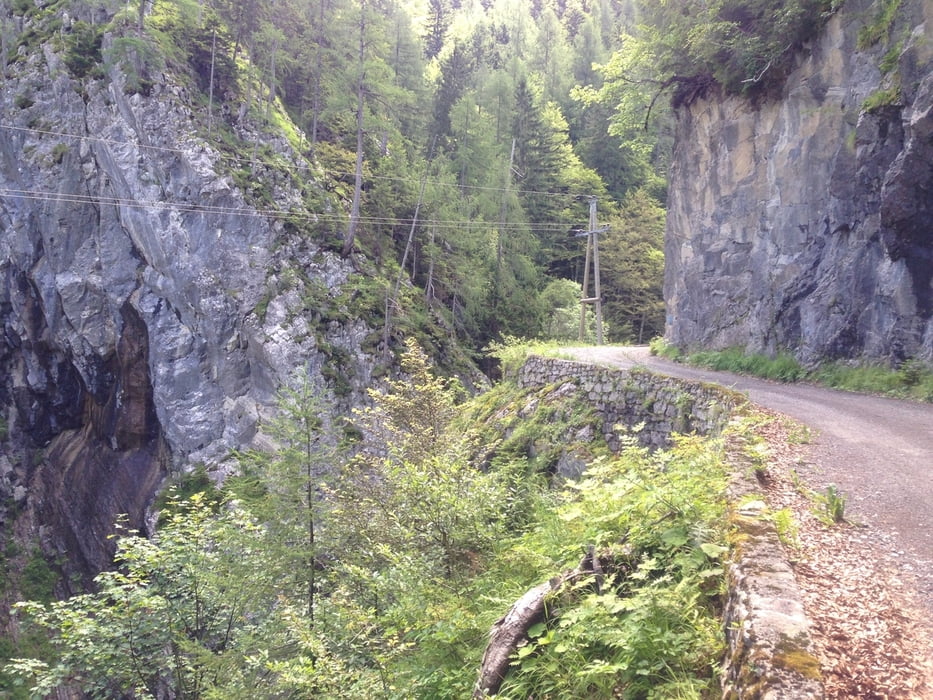
Ab Fellbach über die Forststraße Richtung Fellscharte und Alm hinterm Brunn.
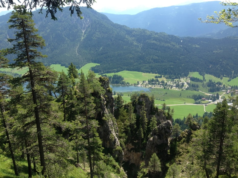
Vorbei an der Alm hinterm Brunn geht es weiter zur Gajacher Alm und Weiße Wand.
Ab der Weißen Wand durch den Wald über Wanderwege nach Techendorf und über die Seestraße zurück nach Naggl.
Further information at
http://www.weissensee.com/Tour gallery
Tour map and elevation profile
Minimum height 562 m
Maximum height 1524 m
More about the tour author
|
|
kersti |
Comments

gebührenpflichtige Parkplätze in Naggl
GPS tracks
Trackpoints-
GPX / Garmin Map Source (gpx) download
-
TCX / Garmin Training Center® (tcx) download
-
CRS / Garmin Training Center® (crs) download
-
Google Earth (kml) download
-
G7ToWin (g7t) download
-
TTQV (trk) download
-
Overlay (ovl) download
-
Fugawi (txt) download
-
Kompass (DAV) Track (tk) download
-
Track data sheet (pdf) download
-
Original file of the author (gpx) download
More about the tour author
|
|
kersti |
Add to my favorites
Remove from my favorites
Edit tags
Open track
My score
Rate