Login

Forgot your login?

Cookies have to be accepted!
Your browser's cookie functionality is disabled. Please enable this functionality.

Not a member yet?

Register now
Login

Available for registred users only

Log in to use this feature.

Forgot your login?

Cookies have to be accepted!
Your browser's cookie functionality is disabled. Please enable this functionality.

Not a member yet?

Register now
Filter
Categories
Advanced filters
  • Distance (km)
  • Height
Save filters Reset filter

TrackRank

QRCode

Technical data

Distance13,6 km Height1199 m Way down0 m Duration00:00 h:m Date26.07.2016
Scores Author Landscape Fun factor Fitness Technique

Statistics

1278 Views Scores 20 Downloads Average
Rate
  • Track data sheet
  • Directions
  • Downloads

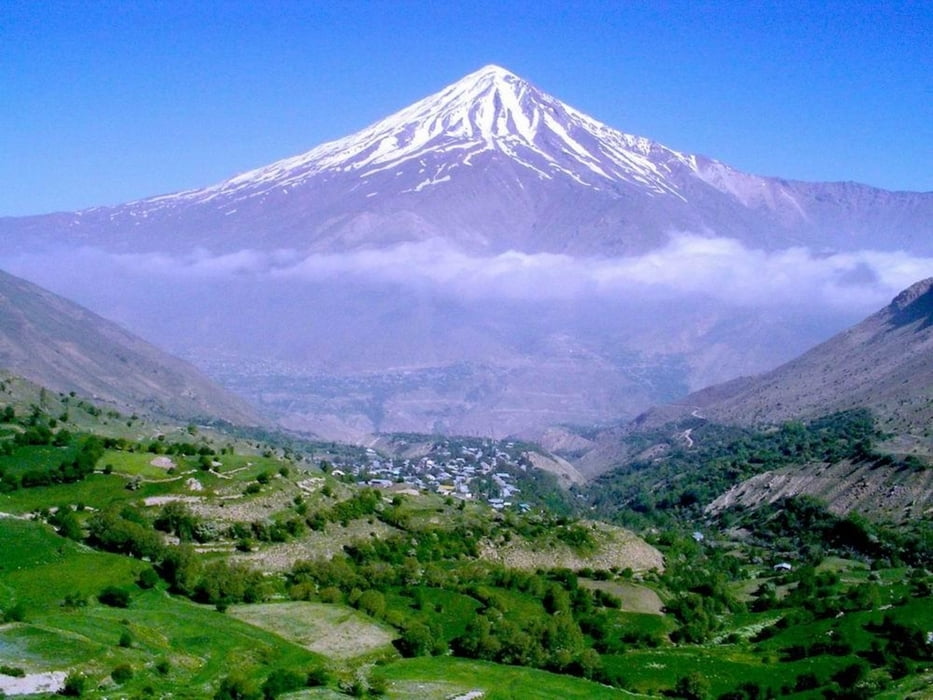
Mount Damavan of Iran (The highest mountain in Iran) from northeast
Mount Damāvand, a potentially active volcano, is a stratovolcano which is the highest peak in Iran and the Middle East as well as the highest volcano in Asia
if you decide to have a trip to Iran for climbing and hiking , I will be glad , contact with me for more information by this address.

My address is :
https://telegram.me/mahabadi_d
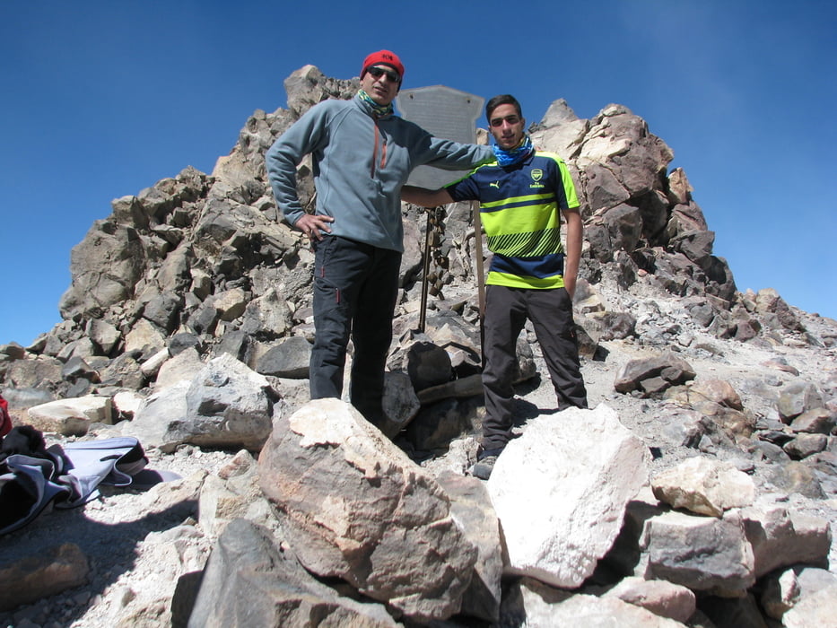
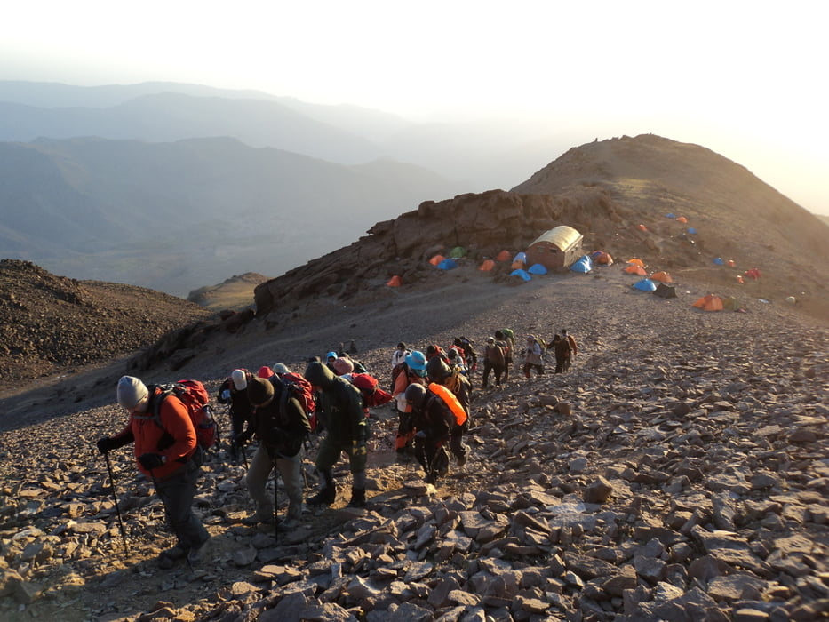
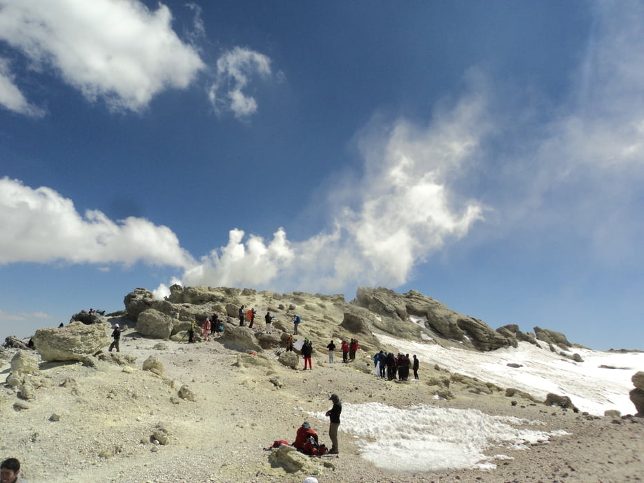
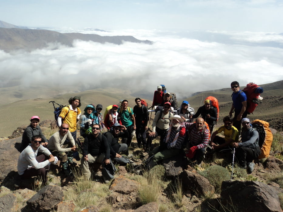
 

Tour gallery

Tour map and elevation profile

  • Open Street Map
  • Google
Minimum height 4409 m Maximum height 5620 m Detailed view

More about the tour author

damon1
Member since 2016

Country: Iran

3 created tours
6.7
Send private message

Comments

GPS tracks

Trackpoints
  • GPX / Garmin Map Source (gpx) download
  • TCX / Garmin Training Center® (tcx) download
  • CRS / Garmin Training Center® (crs) download
  • Google Earth (kml) download
  • G7ToWin (g7t) download
  • TTQV (trk) download
  • Overlay (ovl) download
  • Fugawi (txt) download
  • Kompass (DAV) Track (tk) download
  • Track data sheet (pdf) download
  • Original file of the author (gpx) download

More about the tour author

damon1
Member since 2016

Country: Iran

3 created tours
6.7
Send private message
Share track
Add to my favorites
Remove from my favorites
Edit tags
My score
Rate
Track: Mount Damavand Stratovolcano in Iran (from northeast)
Type: Mountain hiking
Distance: 13,6 km
Evaluated on:
Duration:
Day(s)
Hour(s)
Minute(s)
Score: Landscape Fun factor Fitness Technique