


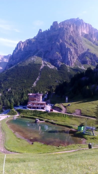
Pordoijoch-Bindelweg-Bindelweghütte-Rif. Gorza (Porta Vescovo)-
Ornella-Cherz-Pralongià-St. Kassian
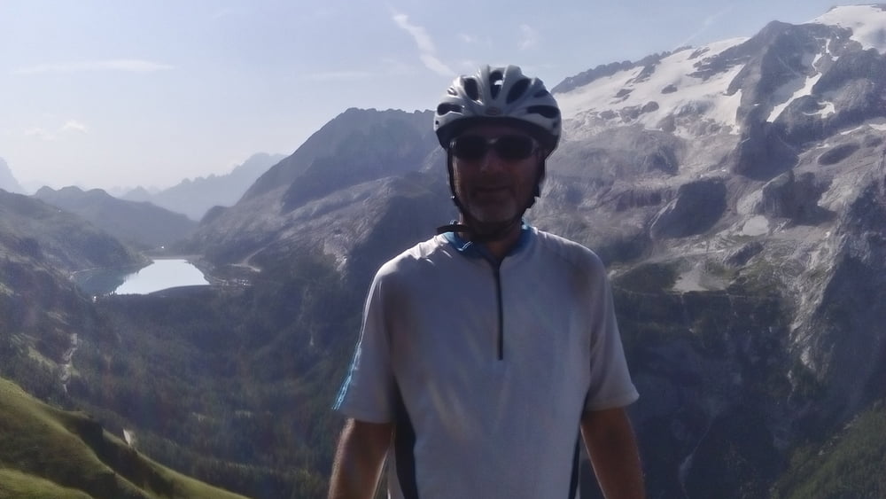
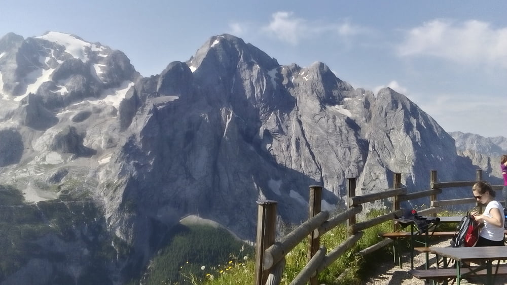
Für den Bindelweg hat sich diese TA schon ausgezahlt! Grandiose Kulisse bei herrlichem Wetter. Viele Fotos geschossen. Einmal war für mich als Nicht-Schwindelfreien Herzklopfen angesagt... Sonst viel fahrbar. Mit den Fußgängern bin ich gut klar gekommen (es war sicher von Vorteil, dass ich schon früh am Morgen diesen Abschnitt gemacht hab!). Die Abfahrt hab ich nicht ganz ideal erwischt, wieder singletrails, teils schwierig. Rauf zur Prolongià zunächst Asphalt dann schöner Schotterweg. Ab Passo Incisa sehr steil. Zuletzt hab ich nicht die Diritissima sondern die etwas weitere, dafür flowigere Schotterabfahrt nach St. Kassian genommen. Dann kündigt sich leider das nächste Gewitter an. Deshalb schließe ich die 5. Etappe hier.
Quartier: Cime bianche HP 44€, ok.
Tour gallery
Tour map and elevation profile
Minimum height 1375 m
Maximum height 2450 m
More about the tour author
|
|
mitter |
Comments

Start am Pordoijoch beim Hotel Pordoi.
GPS tracks
Trackpoints-
GPX / Garmin Map Source (gpx) download
-
TCX / Garmin Training Center® (tcx) download
-
CRS / Garmin Training Center® (crs) download
-
Google Earth (kml) download
-
G7ToWin (g7t) download
-
TTQV (trk) download
-
Overlay (ovl) download
-
Fugawi (txt) download
-
Kompass (DAV) Track (tk) download
-
Track data sheet (pdf) download
-
Original file of the author (gpx) download
More about the tour author
|
|
mitter |
Add to my favorites
Remove from my favorites
Edit tags
Open track
My score
Rate