Login

Forgot your login?

Cookies have to be accepted!
Your browser's cookie functionality is disabled. Please enable this functionality.

Not a member yet?

Register now
Login

Available for registred users only

Log in to use this feature.

Forgot your login?

Cookies have to be accepted!
Your browser's cookie functionality is disabled. Please enable this functionality.

Not a member yet?

Register now
Filter
Categories
Advanced filters
  • Distance (km)
  • Height
Save filters Reset filter

TrackRank

QRCode

Technical data

Distance17,6 km Height729 m Way down744 m Duration01:40 h:m Date08.08.2016
Scores Author Landscape Fun factor Fitness Technique

Statistics

184 Views Scores 51 Downloads Average
Rate
  • Track data sheet
  • Directions
  • Downloads
von oberstdorf über den freibergsee nach schwang und dann richtung hochleite und an einer weggabelug abbigen zum gasthaus schönblick. über die fahrstraße zur talstation der sölleckbahn und auf der bundesstraße zurück nach oberstdorf.
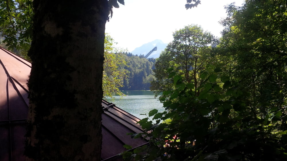
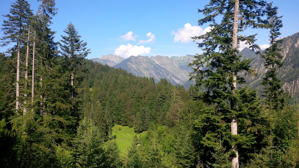
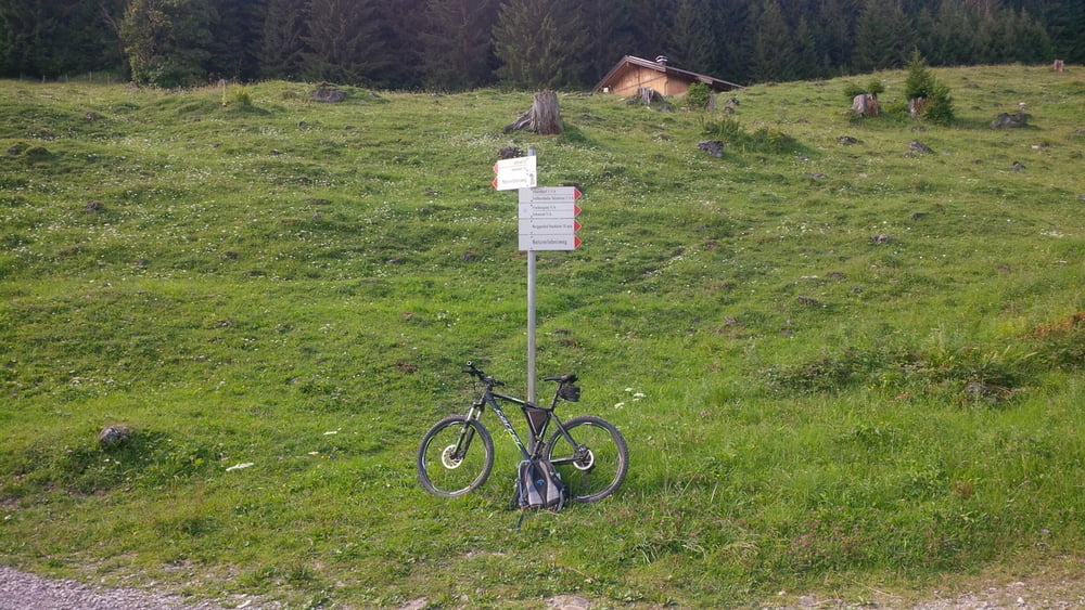
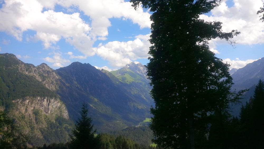
Tour gallery

Tour map and elevation profile

  • Open Street Map
  • Google
Minimum height 791 m Maximum height 1407 m Detailed view

More about the tour author

chris_dd
Member since 2011

Send private message

Comments

GPS tracks

Trackpoints
  • GPX / Garmin Map Source (gpx) download
  • TCX / Garmin Training Center® (tcx) download
  • CRS / Garmin Training Center® (crs) download
  • Google Earth (kml) download
  • G7ToWin (g7t) download
  • TTQV (trk) download
  • Overlay (ovl) download
  • Fugawi (txt) download
  • Kompass (DAV) Track (tk) download
  • Track data sheet (pdf) download
  • Original file of the author (gpx) download

More about the tour author

chris_dd
Member since 2011

Send private message
Share track
Add to my favorites
Remove from my favorites
Edit tags
My score
Rate
Track: Oberstdorf - Schönblick
Type: Mountain bike
Distance: 17,6 km
Evaluated on:
Duration:
Day(s)
Hour(s)
Minute(s)
Score: Landscape Fun factor Fitness Technique