
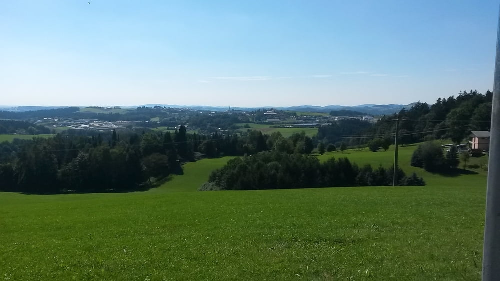

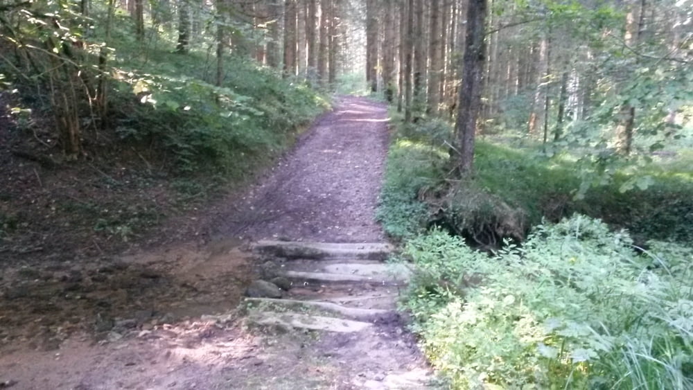
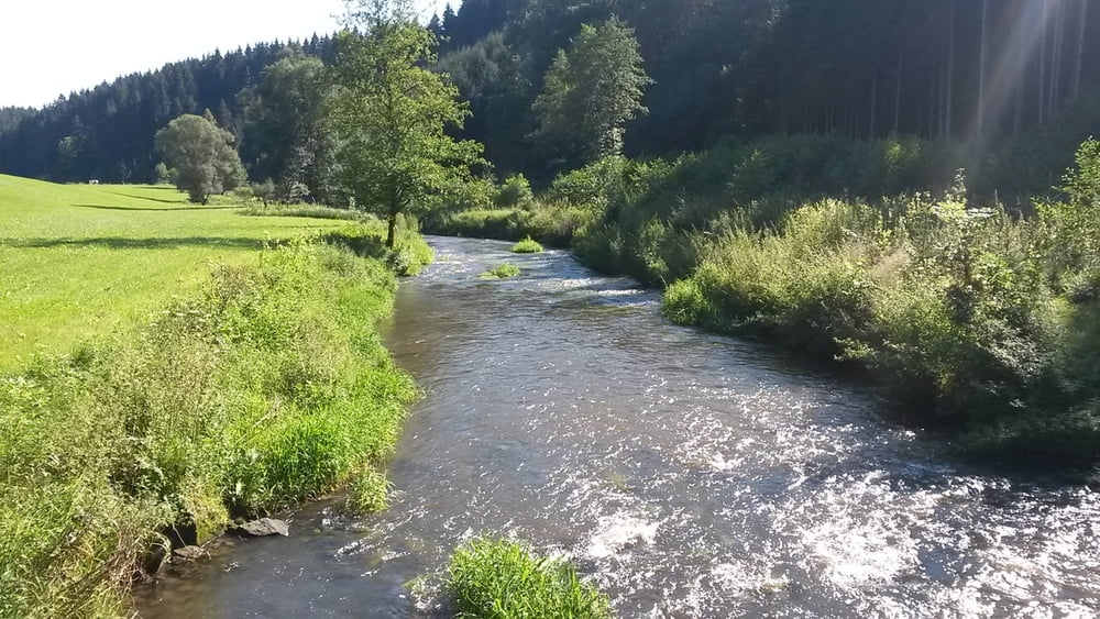
Schöne MTB Tour ab Parkplatz Hutthurm bei Sparkasse. Hier kann man das Auto kostenlos abstellen. Zuerst geht es zum einrollen an der Teerstrasse entlang und nach ca 4 km rein in den Wald mit zwei Rampen die sich aber gut fahren lassen. Weiter durch Büchlberg und dann folgen abwechselnd Teer und Schotterwege sowie auch Waldwege. Schöner Trail im letzten drittel der Tour vor Kittlmühle. Zum Ausrollen fahren wir wieder auf Teerstrasse Richtung Hutthurm
Tour gallery


Tour map and elevation profile
Minimum height 384 m
Maximum height 511 m
More about the tour author
|
|
franz1962 |
Comments

GPS tracks
Trackpoints-
GPX / Garmin Map Source (gpx) download
-
TCX / Garmin Training Center® (tcx) download
-
CRS / Garmin Training Center® (crs) download
-
Google Earth (kml) download
-
G7ToWin (g7t) download
-
TTQV (trk) download
-
Overlay (ovl) download
-
Fugawi (txt) download
-
Kompass (DAV) Track (tk) download
-
Track data sheet (pdf) download
-
Original file of the author (gpx) download
More about the tour author
|
|
franz1962 |
Add to my favorites
Remove from my favorites
Edit tags
Open track
My score
Rate