
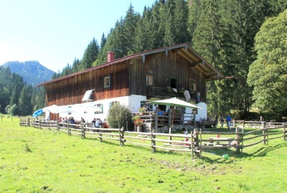

Rundkurs von Ruhpoding über Seegartl, Reit im Winkl, Pötschalm, Röthelmoosalm, Urslau, Brand wieder nach Ruhpolding. Ausgangspunkt der Tour ist der PP Holzknechtmuseum (Richtung Chiemgauarena). Es geht auf einer Forststraße Richtung Seegartl, vorbei am Förchensee, schönen Blicken auf den Löden-, Mitter- u. Weitsee. Weiter nach Reit im Winkl, auf der Chiemseestraße bis zur Entfeldmühle. Ab hier beginnt die Auffahrt entlang dem Alzbach zur Pötschalm, weiter das Almgelände bis zur Trailabfahrt (leicht) zum Weitsee. Der Strasse entlang bis zum Wanderweg Richtung Röthelmoosalm. Die Rückfahrt führt auf einer Forststraße nach Urslau, Brand wieder nach Ruhpolding. Auf dem Radweg Richtung Chiemgauarena fährt man wieder zum Ausgangspunkt der Tour.
Tour map and elevation profile
Minimum height 588 m
Maximum height 826 m
More about the tour author
|
|
MTBiker55 |
Comments

GPS tracks
Trackpoints-
GPX / Garmin Map Source (gpx) download
-
TCX / Garmin Training Center® (tcx) download
-
CRS / Garmin Training Center® (crs) download
-
Google Earth (kml) download
-
G7ToWin (g7t) download
-
TTQV (trk) download
-
Overlay (ovl) download
-
Fugawi (txt) download
-
Kompass (DAV) Track (tk) download
-
Track data sheet (pdf) download
-
Original file of the author (gpx) download
More about the tour author
|
|
MTBiker55 |
Add to my favorites
Remove from my favorites
Edit tags
Open track
My score
Rate