


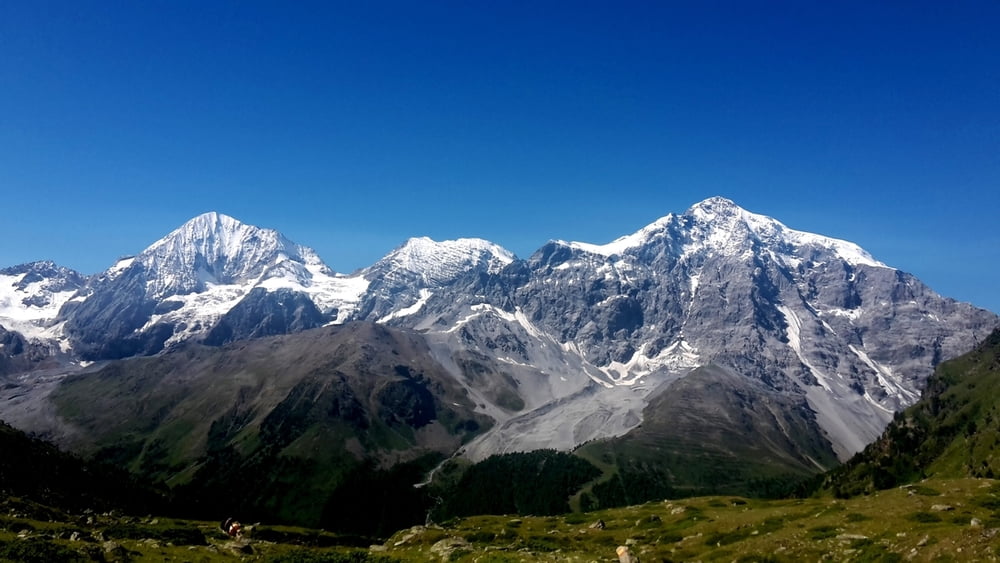
Von Sulden (1860m) mit dem Kanlellift (Sessellift) auf die Bergstation (2348m). (11 Euro pP.; Stand Aug. 2016). Anschließend leicht aufsteigend Richtung Düsseldorfer Hütte (2721m). Dirket bei der Düsseldorfer Hütte geht der Steig hinauf zum Hinteren Schöneck (3128m). Hier ist Trittsicherheit gefragt. Steig sollte nur bei trockenem Wetter bzw. bei Schneefreiheit begangen werden. Kletterausrüstung ist nicht erforderlich aber Bergerfahrung.
Vom Hinteren Schöneck geht es dann über leichten Weg wieder hinab nach Sulden. Einkehrmöglichkeit beim Abstieg gegeben.
Aufstieg: ca. 980m
Abstieg: ca. 1.270m
Further information at
http://www.vinschgau.net/de/ortlergebiet.htmlTour gallery
Tour map and elevation profile
Minimum height 1857 m
Maximum height 3121 m
More about the tour author

|
erni0815 |
Comments

mit dem auto nach Sulden.
GPS tracks
Trackpoints-
GPX / Garmin Map Source (gpx) download
-
TCX / Garmin Training Center® (tcx) download
-
CRS / Garmin Training Center® (crs) download
-
Google Earth (kml) download
-
G7ToWin (g7t) download
-
TTQV (trk) download
-
Overlay (ovl) download
-
Fugawi (txt) download
-
Kompass (DAV) Track (tk) download
-
Track data sheet (pdf) download
-
Original file of the author (gpx) download
More about the tour author
|
|
erni0815 |
Add to my favorites
Remove from my favorites
Edit tags
Open track
My score
Rate