Login

Forgot your login?

Cookies have to be accepted!
Your browser's cookie functionality is disabled. Please enable this functionality.

Not a member yet?

Register now
Login

Available for registred users only

Log in to use this feature.

Forgot your login?

Cookies have to be accepted!
Your browser's cookie functionality is disabled. Please enable this functionality.

Not a member yet?

Register now
Filter
Categories
Advanced filters
  • Distance (km)
  • Height
Save filters Reset filter

TrackRank

QRCode

Technical data

Distance168,5 km Height1462 m Way down1453 m Duration05:30 h:m Date21.08.2016
Scores Author Landscape Fun factor Fitness Technique

Statistics

153 Views Scores 23 Downloads Average
Rate
  • Track data sheet
  • Directions
  • Downloads
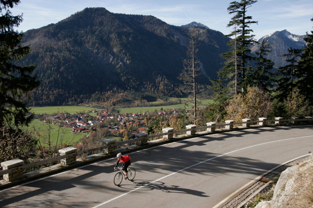
Schöne ausdauernde Tour von Markt Schwaben durch den Ebersberger Forst über Bad Aibling und Bad Feilnbach auf das Sudelfeld. Alles mit dem Rennrad befahrbar.

Tour map and elevation profile

  • Open Street Map
  • Google
Minimum height 477 m Maximum height 1123 m Detailed view

More about the tour author

Hasenbaer
Member since 2013

Send private message

Comments

Markt Schwaben siehe Google Maps

GPS tracks

Trackpoints
  • GPX / Garmin Map Source (gpx) download
  • TCX / Garmin Training Center® (tcx) download
  • CRS / Garmin Training Center® (crs) download
  • Google Earth (kml) download
  • G7ToWin (g7t) download
  • TTQV (trk) download
  • Overlay (ovl) download
  • Fugawi (txt) download
  • Kompass (DAV) Track (tk) download
  • Track data sheet (pdf) download
  • Original file of the author (gpx) download

More about the tour author

Hasenbaer
Member since 2013

Send private message
Share track
Add to my favorites
Remove from my favorites
Edit tags
My score
Rate
Track: Markt Schwaben- Bad Aibling- Bad Feilnbach- Sudelfeld
Type: Road biking
Distance: 168,5 km
Evaluated on:
Duration:
Day(s)
Hour(s)
Minute(s)
Score: Landscape Fun factor Fitness Technique