


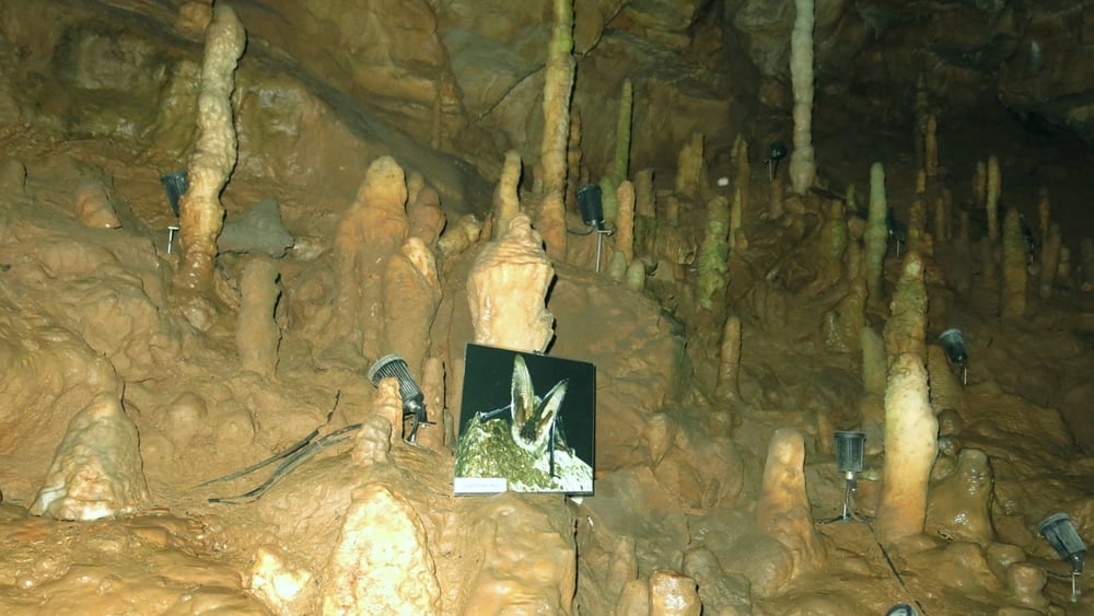
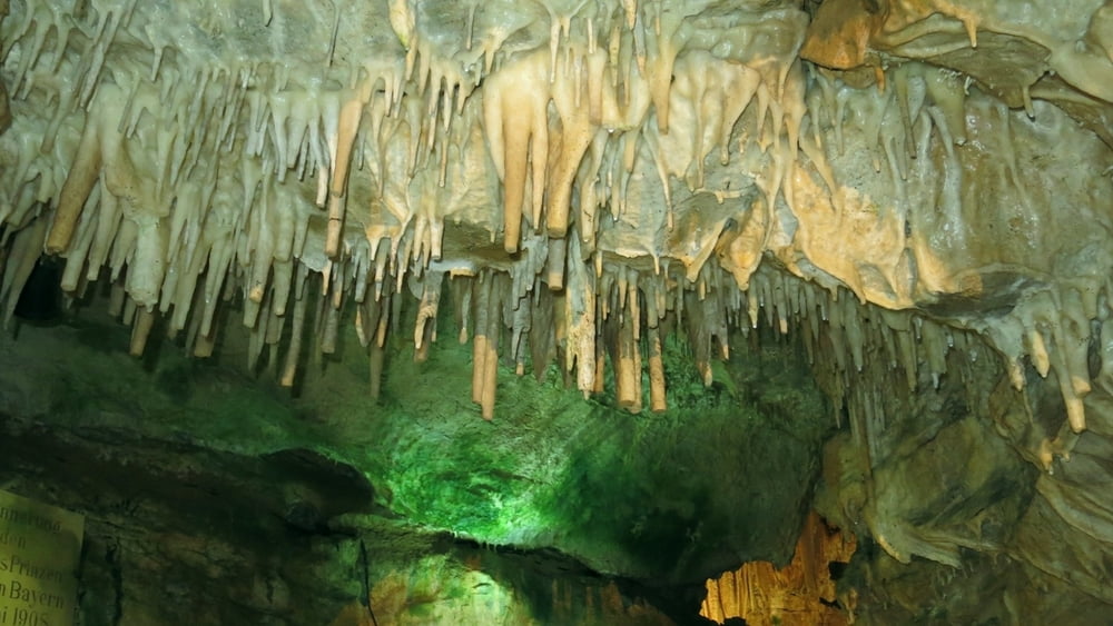
Eigentlich keine "richtige Wanderung", nur eine Besichtigung- sehr lohnenswert.
Man kann dies leicht vor/ nach einer Wanderung noch vornehmen. Die geführte Begehung dauert ca. 40 Minuten. Parken am "Dorfplatz" oder unterhalb desd Ausgangs.
HINWEIS zum Video:
Mit Mozilla Firefox und Flash- Player Plugin startet das Video direkt.
Andernfalls verwendet ihr in eurem Browser den Link:
https://youtu.be/OCVt3mTkkUU
Tour gallery

Tour map and elevation profile
Minimum height 322 m
Maximum height 417 m
More about the tour author
|
|
heinz-57 |
Comments

Von Forchheim/ Ebermannstadt auf B470 kommend am Ortseingang von Streitberg halblinks in den Ort zum "Dorfplatz".
GPS tracks
Trackpoints-
GPX / Garmin Map Source (gpx) download
-
TCX / Garmin Training Center® (tcx) download
-
CRS / Garmin Training Center® (crs) download
-
Google Earth (kml) download
-
G7ToWin (g7t) download
-
TTQV (trk) download
-
Overlay (ovl) download
-
Fugawi (txt) download
-
Kompass (DAV) Track (tk) download
-
Track data sheet (pdf) download
-
Original file of the author (gpx) download
More about the tour author
|
|
heinz-57 |
Add to my favorites
Remove from my favorites
Edit tags
Open track
My score
Rate