

Von Eibiswald geht es über Nebenstraßen auf Asphalt und Schotter zum Radlpass-den Grenzlandwanderweg entlang nach Pongratzen-weiter zum Kaplasee und zum Kapla Grenzübergang-zurück über den Grenzlandwanderweg zuerst zu Mukonik Mostschank (da gibt es eine gute Jause und genug zum Trinken)-weiter über Pongratzen und dem Hubenlenz nach Eibiswald.70 % sind sicher auf Schotter und Waldwegen und das tolle Panorama ist auch noch zum Erwähnen.....
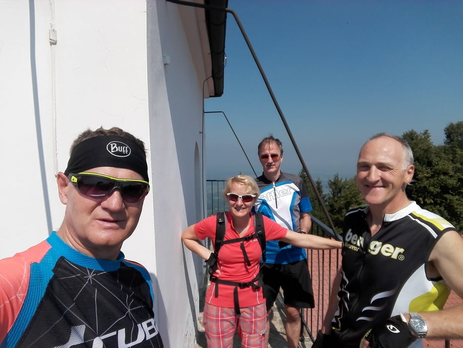
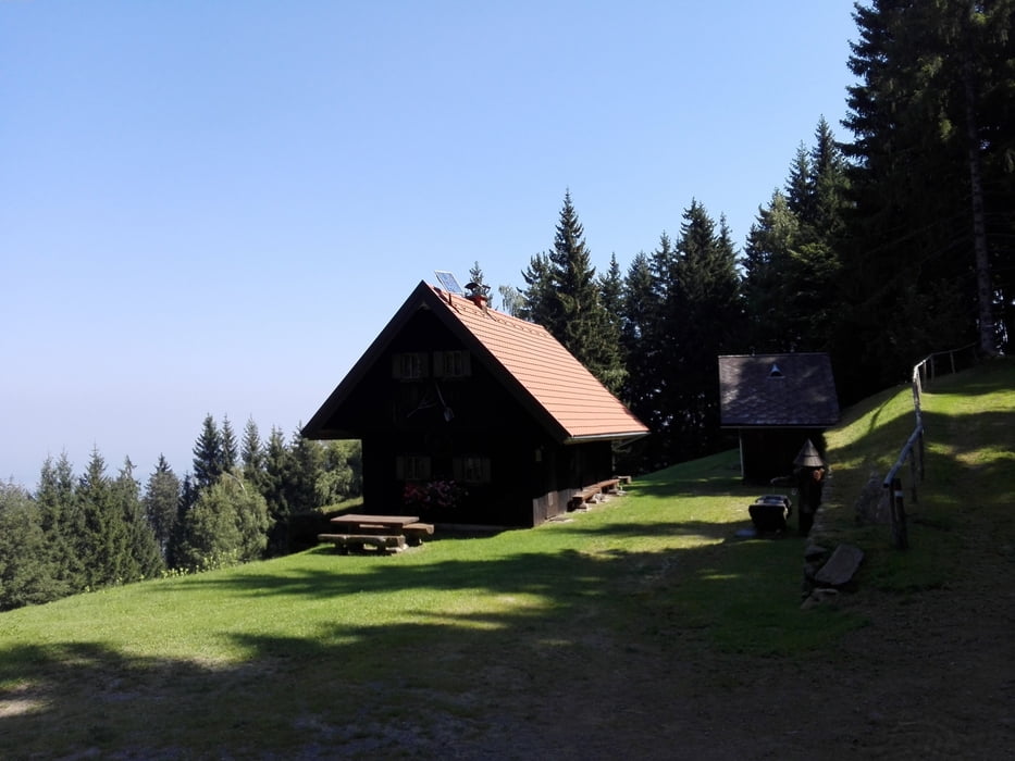
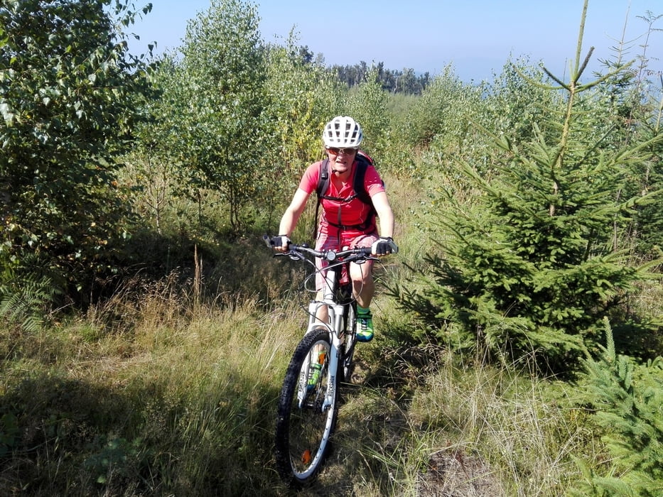
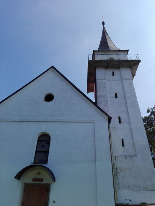
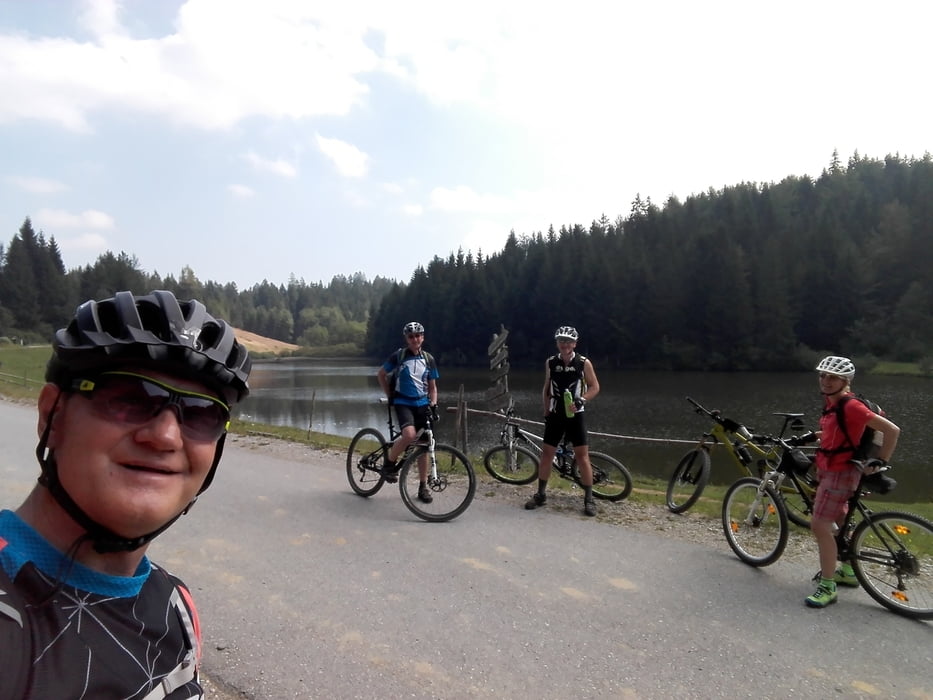
Tour gallery
Tour map and elevation profile
Minimum height 364 m
Maximum height 1053 m
More about the tour author
|
|
plazo100 |
Comments

GPS tracks
Trackpoints-
GPX / Garmin Map Source (gpx) download
-
TCX / Garmin Training Center® (tcx) download
-
CRS / Garmin Training Center® (crs) download
-
Google Earth (kml) download
-
G7ToWin (g7t) download
-
TTQV (trk) download
-
Overlay (ovl) download
-
Fugawi (txt) download
-
Kompass (DAV) Track (tk) download
-
Track data sheet (pdf) download
-
Original file of the author (gpx) download
More about the tour author
|
|
plazo100 |
Add to my favorites
Remove from my favorites
Edit tags
Open track
My score
Rate