


An einem verregneten Samstag machte ich mich auf das Nötigste im nahen Homburg zu besorgen.
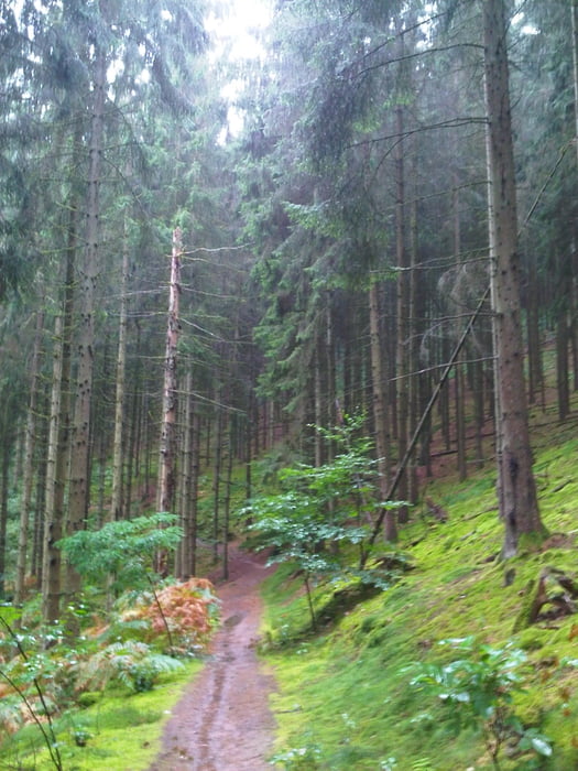
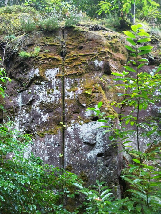
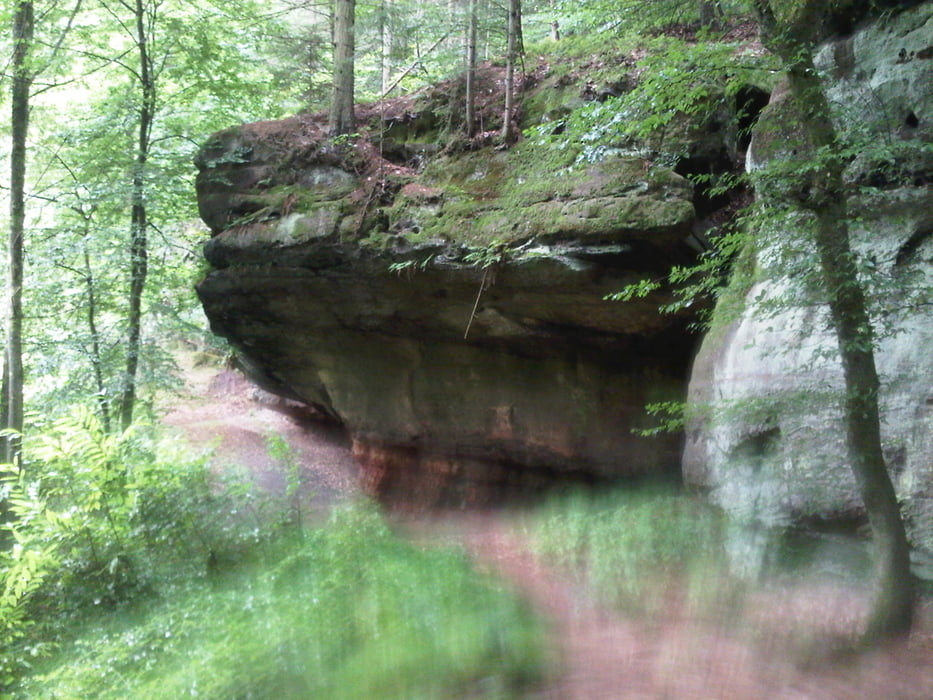
Weil eine kleine Wanderung bei Regen belebend wirkt wählte ich den kleinen Umweg durch den Homburger Wald in dem eine kleine Schlucht mit mossigen Felsen dem Auge Abwechslung bietet.
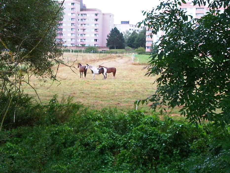
Ich tangierte kurz danach das Universitätsklinikum in Homburg und erreichte durch das Stadtgebiet den Lebensmitteldealer meines Vertrauens.
Den Rückweg suchte ich mir durch das Bliestal um dann entspannt am Ausgangspunkt die kleine Runde zu beenden.
Further information at
https://de.wikipedia.org/wiki/Saarpfalz-KreisTour gallery
Tour map and elevation profile
Minimum height 231 m
Maximum height 296 m
More about the tour author
|
|
Pheinz |
Comments

Start und Ziel in Homburg Schwarzenbach.
GPS tracks
Trackpoints-
GPX / Garmin Map Source (gpx) download
-
TCX / Garmin Training Center® (tcx) download
-
CRS / Garmin Training Center® (crs) download
-
Google Earth (kml) download
-
G7ToWin (g7t) download
-
TTQV (trk) download
-
Overlay (ovl) download
-
Fugawi (txt) download
-
Kompass (DAV) Track (tk) download
-
Track data sheet (pdf) download
-
Original file of the author (gpx) download
More about the tour author
|
|
Pheinz |
Add to my favorites
Remove from my favorites
Edit tags
Open track
My score
Rate