


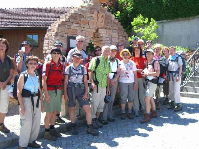
Die Region rund um die oberinnviertler Seenplatte lädt zum Wohlfühlen ein: ob die zahlreichen, warmen Badeseen wie z.B. Holzöstersee, Heratinger/Ibmersee, Höllerersee oder die abwechslungsreiche Naturlandschaft.
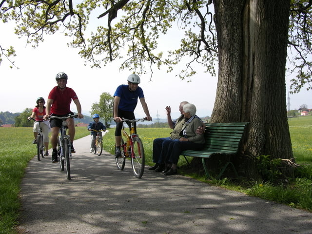
Naturschätze wie der Weilhartforst, die Salzach Au und die sanften Hügeln des Alpenvorlandes sind von besonderer Schönheit und laden ganz besonders zum Wandern und Rad fahren ein. Sich Zeit nehmen, zur Ruhe kommen und die Natur genießen - die Rad- und Wandertouren entlang dieser beeinduckenden Landschaft laden Sie dazu ein.
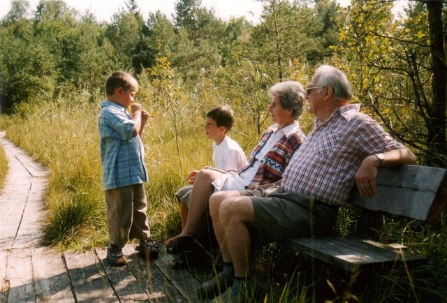
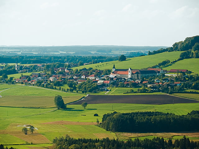
Von Holzöster führt die Tour zum Ibmer/Heratingersee durch das Naturjuwel Ibmer Moor - dort befindet sich ein interessanter Moorlehrpfad - weiter gehts nach Moosdorf (Friedensdenkmal). Ein Genuss ist das Radeln nach Michaelbeuern auf den sanften Hügeln mit schöner Aussicht in die Alpenkette. Weiter gehts über Stockham, Maxdorf und Eggenham auf wenig befahrenen Straßen nach Holzöster.
Naturschätze wie der Weilhartforst, die Salzach Au und die sanften Hügeln des Alpenvorlandes sind von besonderer Schönheit und laden ganz besonders zum Wandern und Rad fahren ein. Sich Zeit nehmen, zur Ruhe kommen und die Natur genießen - die Rad- und Wandertouren entlang dieser beeinduckenden Landschaft laden Sie dazu ein.
Von Holzöster führt die Tour zum Ibmer/Heratingersee durch das Naturjuwel Ibmer Moor - dort befindet sich ein interessanter Moorlehrpfad - weiter gehts nach Moosdorf (Friedensdenkmal). Ein Genuss ist das Radeln nach Michaelbeuern auf den sanften Hügeln mit schöner Aussicht in die Alpenkette. Weiter gehts über Stockham, Maxdorf und Eggenham auf wenig befahrenen Straßen nach Holzöster.
Further information at
http://www.seelentium.atTour gallery
Tour map and elevation profile
Minimum height 430 m
Maximum height 489 m
More about the tour author

|
austroschnitzl |
Comments

GPS tracks
Trackpoints-
GPX / Garmin Map Source (gpx) download
-
TCX / Garmin Training Center® (tcx) download
-
CRS / Garmin Training Center® (crs) download
-
Google Earth (kml) download
-
G7ToWin (g7t) download
-
TTQV (trk) download
-
Overlay (ovl) download
-
Fugawi (txt) download
-
Kompass (DAV) Track (tk) download
-
Track data sheet (pdf) download
-
Original file of the author (gpx) download
More about the tour author
|
|
austroschnitzl |
Add to my favorites
Remove from my favorites
Edit tags
Open track
My score
Rate