Login

Forgotten password?

Cookies have to be accepted!
Your browser's cookie functionality is disabled. Please enable this functionality.

Not a member yet?

Register now
Login

Available for registred users only

Log in to use this feature.

Forgotten password?

Cookies have to be accepted!
Your browser's cookie functionality is disabled. Please enable this functionality.

Not a member yet?

Register now
Filter
Categories
Advanced filters
  • Distance (km)
  • Height
Save filters Reset filter

TrackRank

QRCode

Technical data

Distance27,2 km Height537 m Way down565 m Duration03:00 h:m Date18.09.2016
Scores Author Landscape Fun factor Fitness Technique

Statistics

589 Views Scores 62 Downloads Average
Rate
  • Track data sheet
  • Directions
  • Downloads

MTB Tour von Bad Reichenhall ( Fußgängerzone ) aus startend.

Langsames einrollen zuerst auf Teerstrasse dann geht es stetig bergauf auf gut ausgebauten Schotterstrassen. Teilweise mit einigen knackigen Anstiegen.

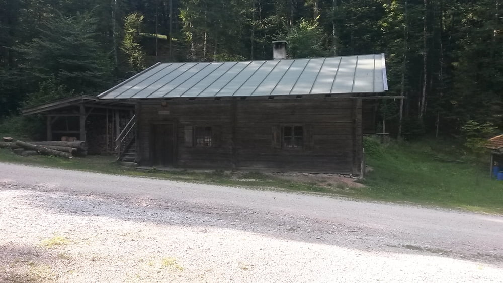
Die Strecke liegt grossteils im Wald und daher schattig und man kann auch noch spontan auf andere Almen fahren.

Tour gallery

Tour map and elevation profile

  • Open Street Map
  • Google
Minimum height 472 m Maximum height 894 m Detailed view

More about the tour author

franz1962
Member since 2011

Send private message

Comments

GPS tracks

Trackpoints
  • GPX / Garmin Map Source (gpx) download
  • TCX / Garmin Training Center® (tcx) download
  • CRS / Garmin Training Center® (crs) download
  • Google Earth (kml) download
  • G7ToWin (g7t) download
  • TTQV (trk) download
  • Overlay (ovl) download
  • Fugawi (txt) download
  • Kompass (DAV) Track (tk) download
  • Track data sheet (pdf) download
  • Original file of the author (gpx) download

More about the tour author

franz1962
Member since 2011

Send private message
Share track
Add to my favorites
Remove from my favorites
Edit tags
My score
Rate
Track: Bad Reichenhall zur Höllenbachalm u Thumsee
Type: Mountain bike
Distance: 27,2 km
Evaluated on:
Duration:
Day(s)
Hour(s)
Minute(s)
Score: Landscape Fun factor Fitness Technique