Login

Forgotten password?

Cookies have to be accepted!
Your browser's cookie functionality is disabled. Please enable this functionality.

Not a member yet?

Register now
Login

Available for registred users only

Log in to use this feature.

Forgotten password?

Cookies have to be accepted!
Your browser's cookie functionality is disabled. Please enable this functionality.

Not a member yet?

Register now
Filter
Categories
Advanced filters
  • Distance (km)
  • Height
Save filters Reset filter

TrackRank

QRCode

Technical data

Distance39,0 km Height108 m Way down91 m Duration03:00 h:m Date18.09.2016
Scores Author Landscape Fun factor Fitness Technique

Statistics

137 Views Scores 18 Downloads Average
Rate
  • Track data sheet
  • Directions
  • Downloads

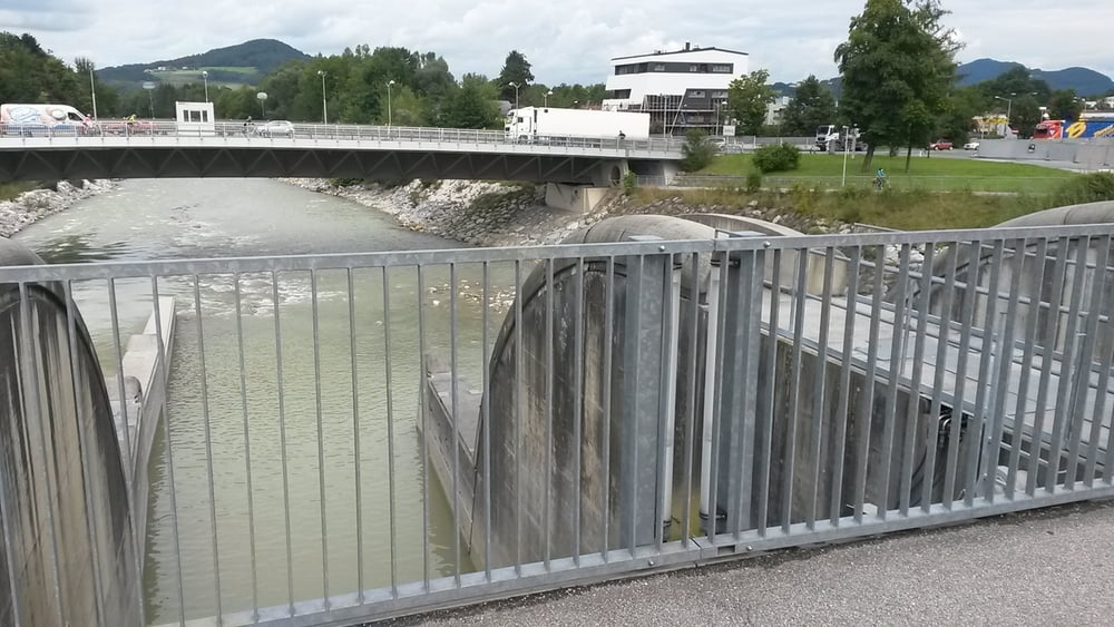
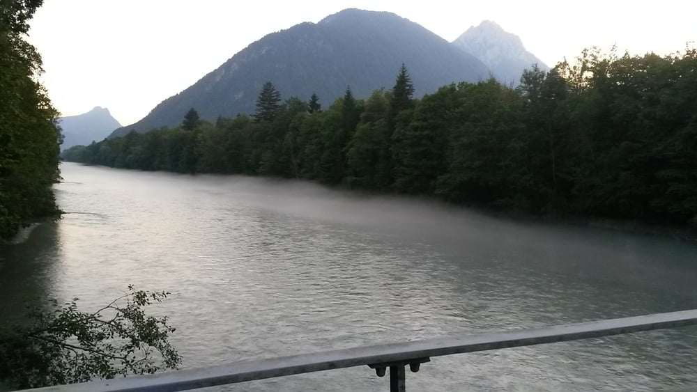
lockere Fahrradtour von Bad Reichenhall ( Fussgängerzone ) startend und Richtung Freilassing.

Es geht ohne grosse Steigungen immer an der Saalach entlang.

In Freilassung kann man sich in der Fussgängerzone etwas umsehen

Tour gallery

Tour map and elevation profile

  • Open Street Map
  • Google
Minimum height 410 m Maximum height 473 m Detailed view

More about the tour author

franz1962
Member since 2011

Send private message

Comments

GPS tracks

Trackpoints
  • GPX / Garmin Map Source (gpx) download
  • TCX / Garmin Training Center® (tcx) download
  • CRS / Garmin Training Center® (crs) download
  • Google Earth (kml) download
  • G7ToWin (g7t) download
  • TTQV (trk) download
  • Overlay (ovl) download
  • Fugawi (txt) download
  • Kompass (DAV) Track (tk) download
  • Track data sheet (pdf) download
  • Original file of the author (gpx) download

More about the tour author

franz1962
Member since 2011

Send private message
Share track
Add to my favorites
Remove from my favorites
Edit tags
My score
Rate
Track: Bad Reichenhall - Freilassing - Salzburgrunde
Type: Mountain bike
Distance: 39,0 km
Evaluated on:
Duration:
Day(s)
Hour(s)
Minute(s)
Score: Landscape Fun factor Fitness Technique