


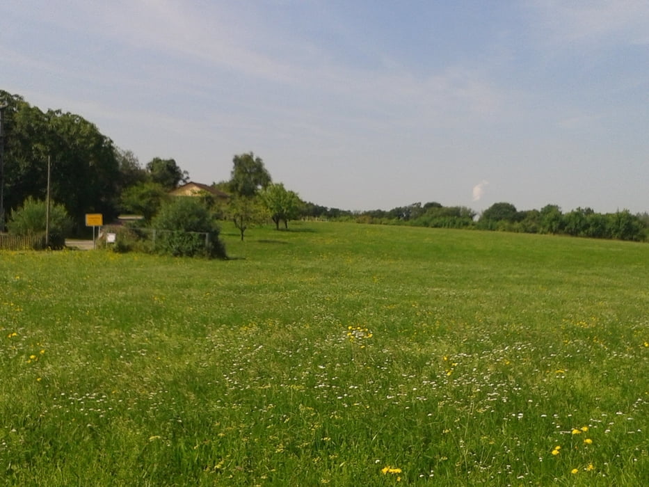
Start ist in Meimsheim am Sportplatz wo es auch Parkplätze gibt.
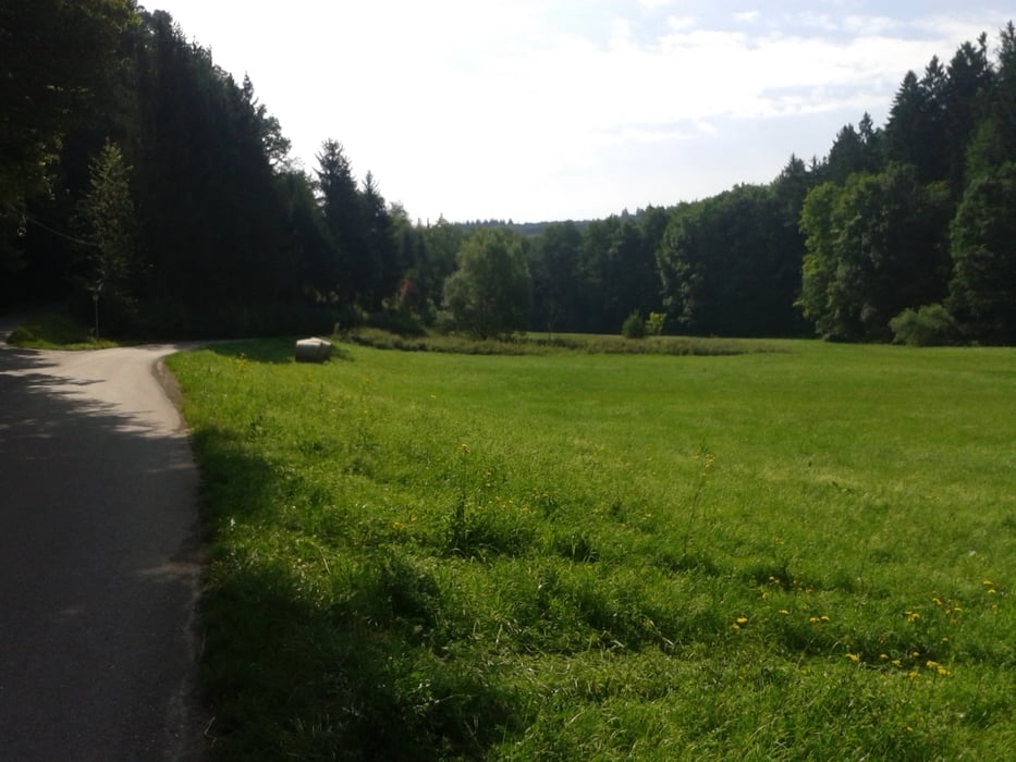
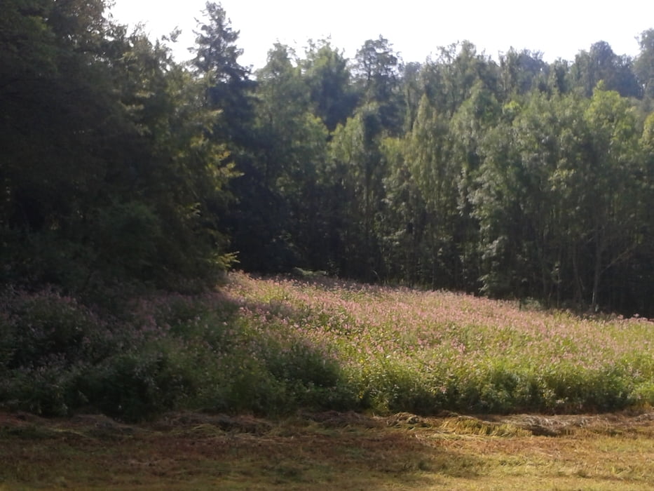
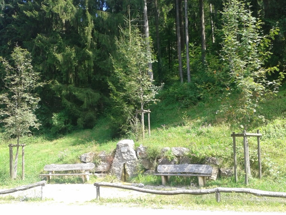
Idyllische Tour mit sehr schönen Streckanabschnitten vom Zabergäu übers Neckartal, Schozachtal und Lautertal hoch nach Vorderbüchelberg zum „Goldenen Ritter“ zur Einkehr.
Ein toller Gasthof wo man gutes Essen für schmales Geld bekommt.
Zurück führt der Weg wieder mit einer geilen Abfahrt nach Spiegelberg weiter über Prevorst, Kurzach nach Gronau. Von dort übers Bottwahrtal nach Winzerhausen und Neckarwestheim ins Neckartal zurück nach Meimsheim.
Tour gallery
Tour map and elevation profile
Minimum height 140 m
Maximum height 510 m
More about the tour author
|
|
Digger67 |
Comments

GPS tracks
Trackpoints-
GPX / Garmin Map Source (gpx) download
-
TCX / Garmin Training Center® (tcx) download
-
CRS / Garmin Training Center® (crs) download
-
Google Earth (kml) download
-
G7ToWin (g7t) download
-
TTQV (trk) download
-
Overlay (ovl) download
-
Fugawi (txt) download
-
Kompass (DAV) Track (tk) download
-
Track data sheet (pdf) download
-
Original file of the author (gpx) download
More about the tour author
|
|
Digger67 |
Add to my favorites
Remove from my favorites
Edit tags
Open track
My score
Rate