


Start der Tour ist beim alten Sportplatz in Ebreichsdorf.
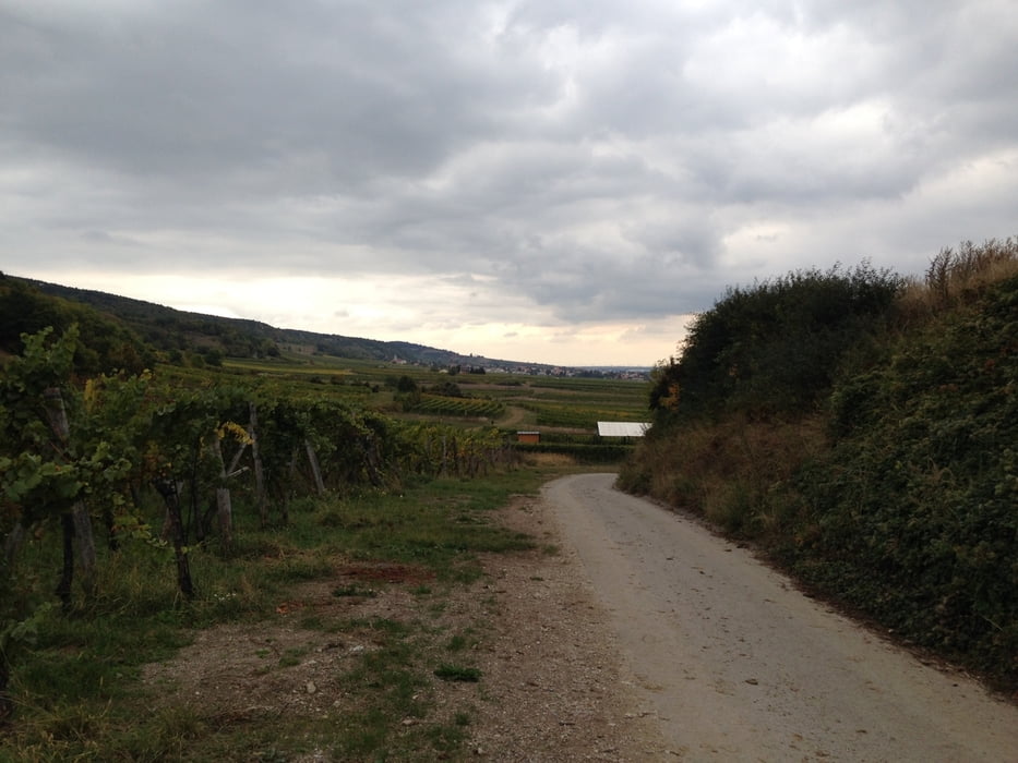
Die Tour verläuft auf Feld.- und Radwege nach Tattendorf, Teesdorf und Bad Vöslau.
Über Straßen geht es durch Bad Vöslau bis zum Wasserleitungsweg, der durch Sooß bis nach Baden führt.
Nach einer kurzen Pause beim Holzrechenplatz geht es weiter durch Baden Richtung Pfaffstätten Einöde, wo man wieder auf den Wasserleitungsweg trifft.
Dem Wasserleitungsweg bis nach Gumpoldskirchen folgen.
Ab Gumpoldskirchen geht es über Feld.- und Radwege nach Traiskirchen, Trumau und zurück nach Ebreichsdorf.
Further information at
https://www.wien.info/media/files/broschuere-1.-wiener-wasserleitungswanderweg-wasser-wandern-wanderwegTour gallery
Tour map and elevation profile
Minimum height 172 m
Maximum height 305 m
More about the tour author
|
|
kersti |
Comments

Parkmöglichkeit beim alten Sportplatz in Ebreichsdorf
GPS tracks
Trackpoints-
GPX / Garmin Map Source (gpx) download
-
TCX / Garmin Training Center® (tcx) download
-
CRS / Garmin Training Center® (crs) download
-
Google Earth (kml) download
-
G7ToWin (g7t) download
-
TTQV (trk) download
-
Overlay (ovl) download
-
Fugawi (txt) download
-
Kompass (DAV) Track (tk) download
-
Track data sheet (pdf) download
-
Original file of the author (gpx) download
More about the tour author
|
|
kersti |
Add to my favorites
Remove from my favorites
Edit tags
Open track
My score
Rate