


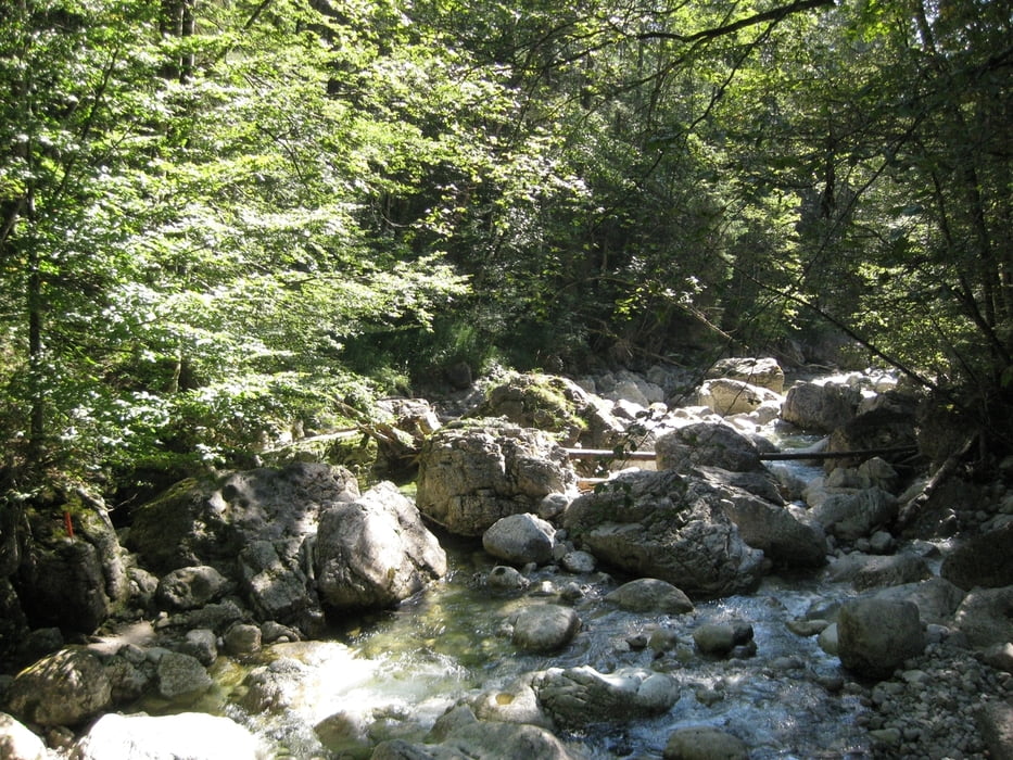
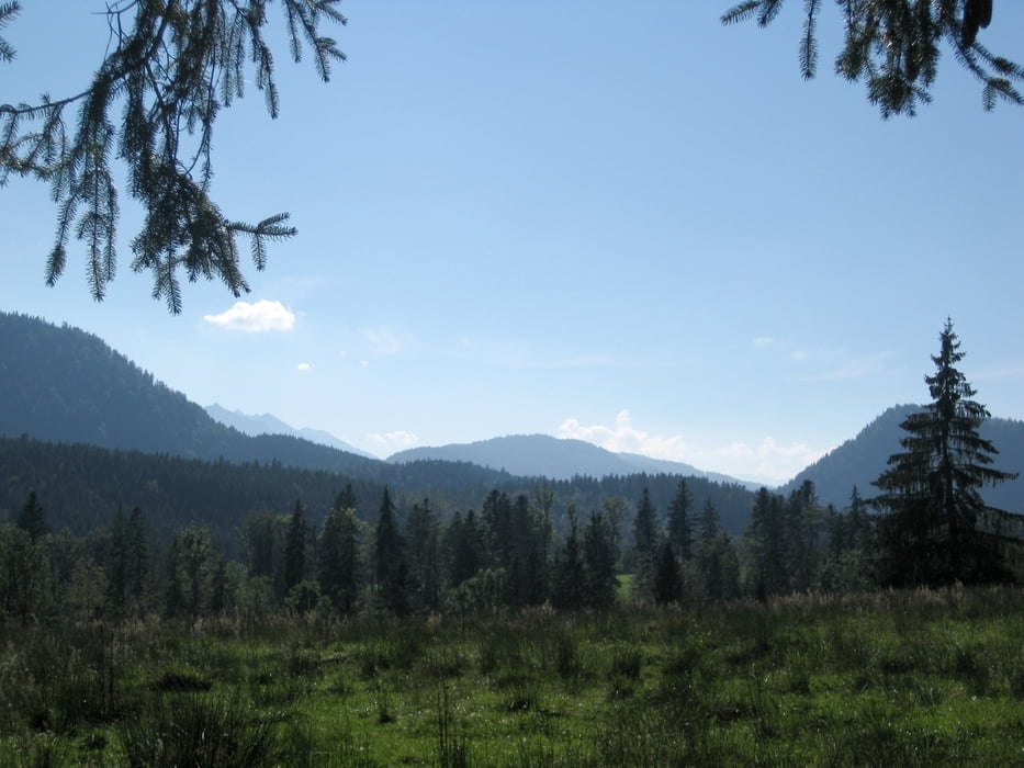
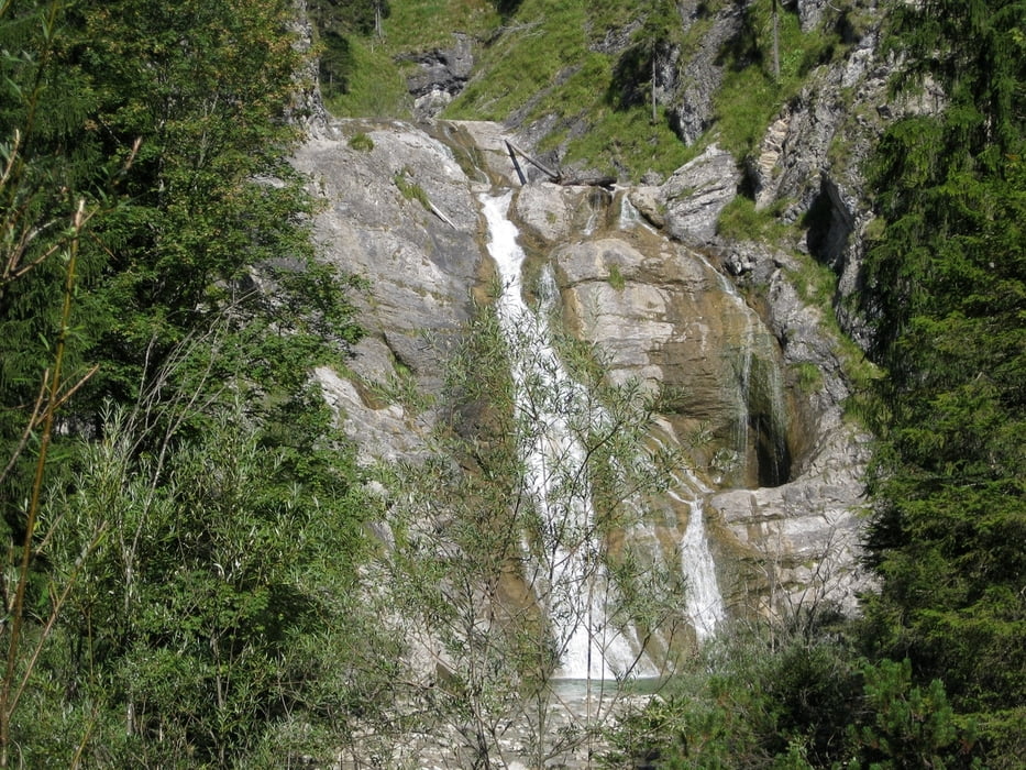
Vom Parkplatz aus wandern wir entlang des Wildbaches Große Laine durch einen Wald, dann am Waldesrand entlang bis der Weg auf eine Forststraße trifft. Weiter geht es über Wiesen und nach 1km wieder in einen Wald hinein. Nach einer Brücke über die Große Laine kommen wir auf einen Forstweg, der uns zur Lainl-Alm führt. An der Lainl-Alm biegen wir rechts ab und wandern bis zum Jachenau-Wasserfall. Zurück gelangen wir auf dem selben Weg.
Tour gallery

Tour map and elevation profile
Minimum height 771 m
Maximum height 932 m
More about the tour author

|
frank_guenther |
Comments

Wir starten unsere Tour in Jachenau auf einem ausgeschilderte (gebührenpflichtigen) Parkplatz unterhalb der Kirche.
GPS tracks
Trackpoints-
GPX / Garmin Map Source (gpx) download
-
TCX / Garmin Training Center® (tcx) download
-
CRS / Garmin Training Center® (crs) download
-
Google Earth (kml) download
-
G7ToWin (g7t) download
-
TTQV (trk) download
-
Overlay (ovl) download
-
Fugawi (txt) download
-
Kompass (DAV) Track (tk) download
-
Track data sheet (pdf) download
-
Original file of the author (gpx) download
More about the tour author
|
|
frank_guenther |
Add to my favorites
Remove from my favorites
Edit tags
Open track
My score
Rate