


Vom Parkplatz geht es neben der Straße Richtung Lindelberg, dann in östlicher Richtung über die Straße durch eine Senke zu Fahrweg, hier rechts, bald links auf Schotterweg Richtung Oberlindelbach. Vor dem Waldrand rechts ab, nach links zum bunten Waldrand. Auf Weg nach rechts nach Großenbuch und durch das Dorf zum Parkplatz
HINWEIS zum Video:
Mit Mozilla Firefox und Flash- Player Plugin startet das Video direkt.
Andernfalls verwendet ihr in eurem Browser den Link: https://youtu.be/F5dzKA_X5xs
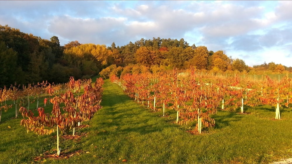
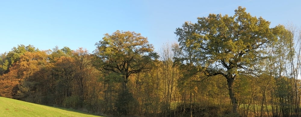
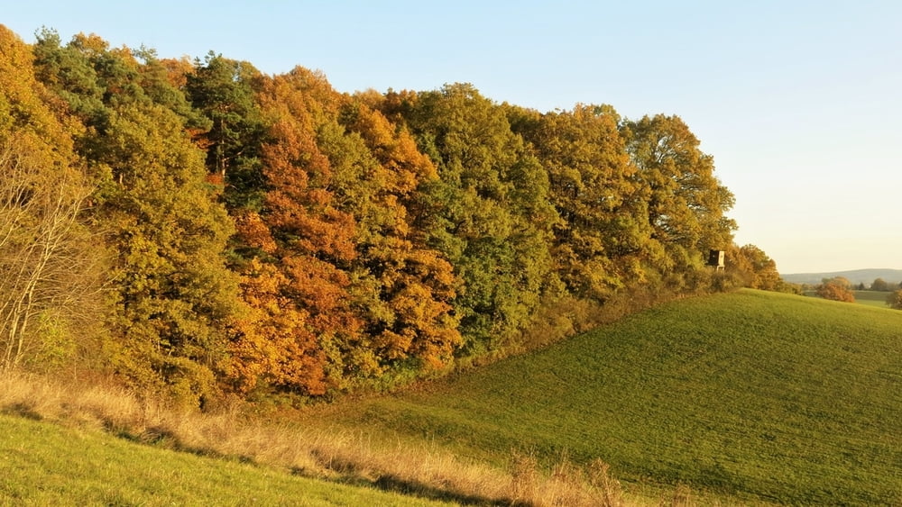
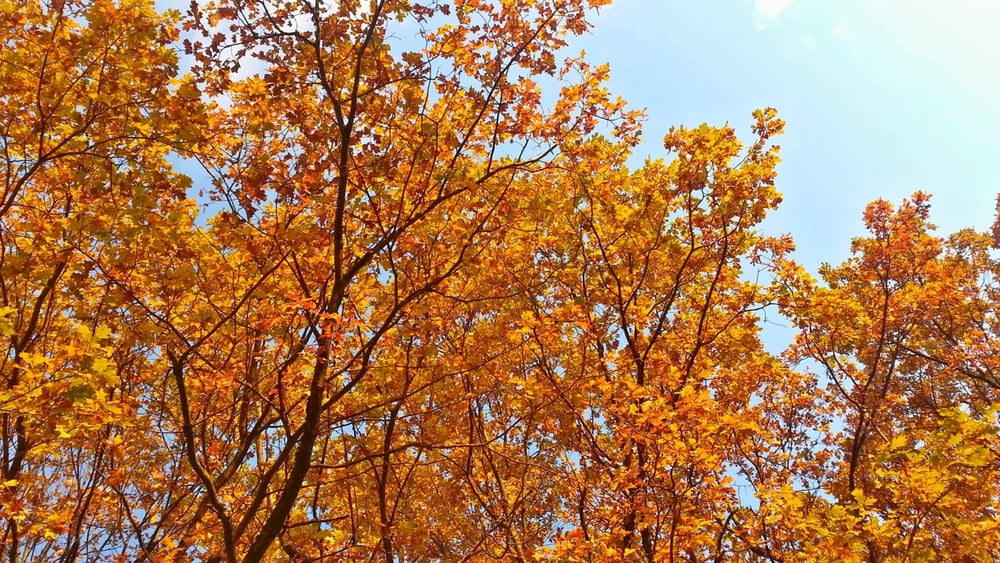
Tour gallery

Tour map and elevation profile
Minimum height 357 m
Maximum height 425 m
More about the tour author
|
|
heinz-57 |
Comments

Von Neunkirchen am Brand kommend Richtung Rödlas/ Ermreuth. An Abzweig nach Großenbuch rechts Parkplatz.
GPS tracks
Trackpoints-
GPX / Garmin Map Source (gpx) download
-
TCX / Garmin Training Center® (tcx) download
-
CRS / Garmin Training Center® (crs) download
-
Google Earth (kml) download
-
G7ToWin (g7t) download
-
TTQV (trk) download
-
Overlay (ovl) download
-
Fugawi (txt) download
-
Kompass (DAV) Track (tk) download
-
Track data sheet (pdf) download
-
Original file of the author (gpx) download
More about the tour author
|
|
heinz-57 |
Add to my favorites
Remove from my favorites
Edit tags
Open track
My score
Rate