


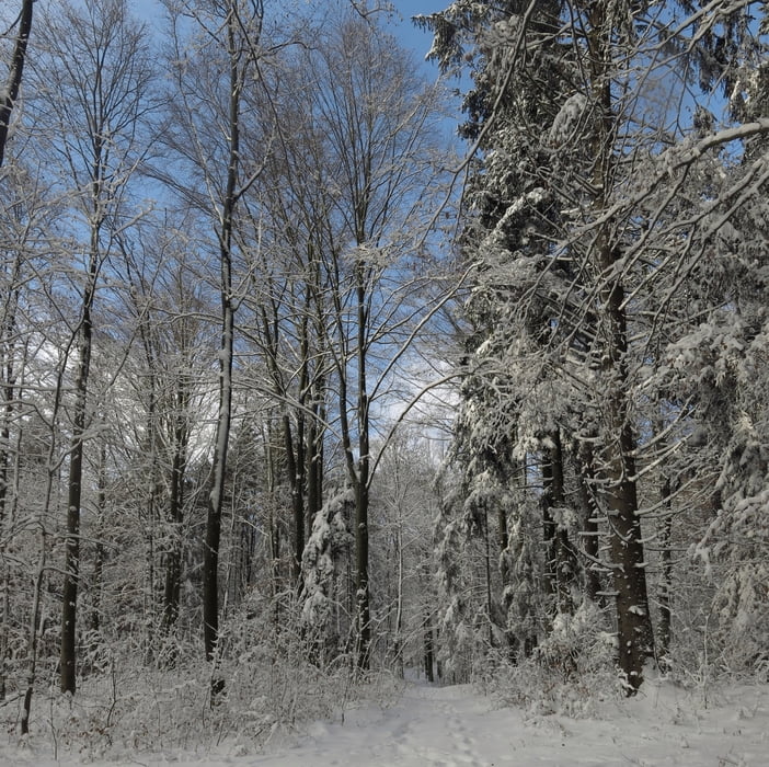
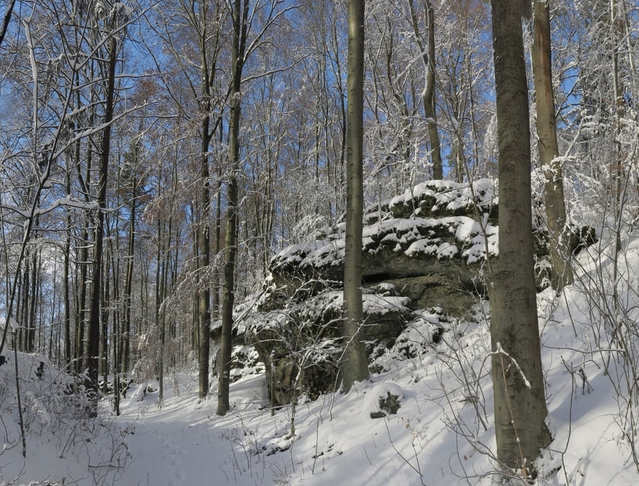
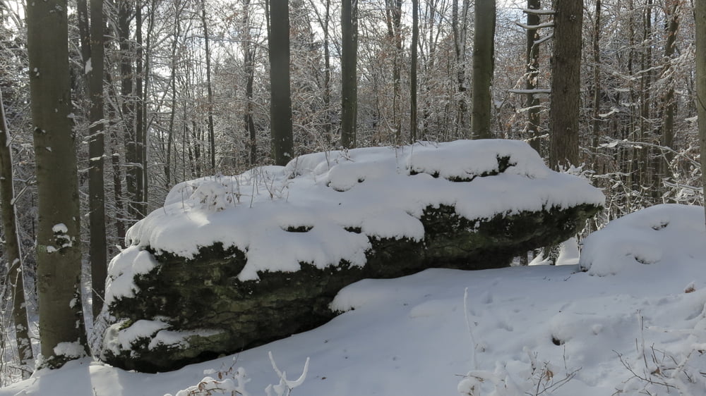
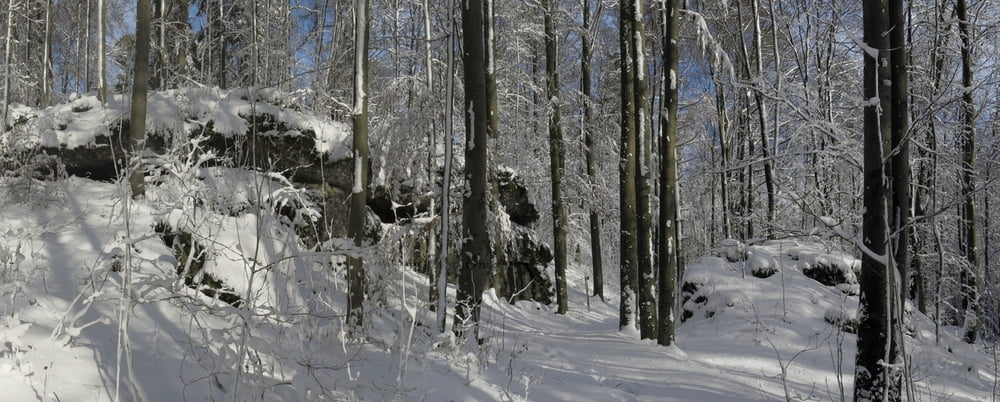
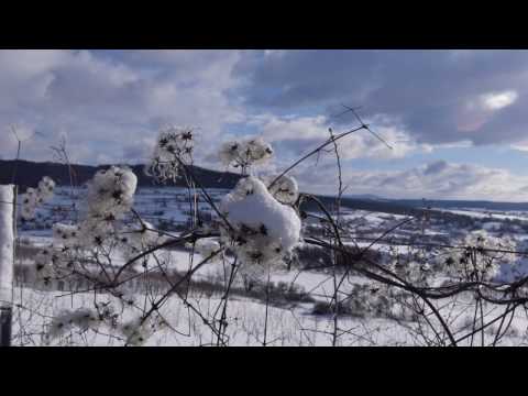
Erster Schnee bei uns und gleich so viel, dass Schneeschuhe zweckmäßig sind. Es geht auf gleicher Höhe Richtung Gräfenberg und dann durch den Wald am Teufelstisch vorbei- jetzt mit strahlender Sonne- zurück.
HINWEIS zum Video:
Mit Mozilla Firefox und Flash- Player Plugin startet das Video direkt bei den Bildern.
Andernfalls verwendet ihr in eurem Browser den Link:
https://youtu.be/sISPzWLlJHM
Tour gallery
Tour map and elevation profile
Minimum height 368 m
Maximum height 535 m
More about the tour author
|
|
heinz-57 |
Comments

Von Nürnberg/ Erlangen kommend auf der B2 nach Igensdorf, im Ort Richtung Walkersbrunn, kurz vor Ortsende rechts ab auf "Eberhardsbergstraße zum Parkplatz am Waldrand.
GPS tracks
Trackpoints-
GPX / Garmin Map Source (gpx) download
-
TCX / Garmin Training Center® (tcx) download
-
CRS / Garmin Training Center® (crs) download
-
Google Earth (kml) download
-
G7ToWin (g7t) download
-
TTQV (trk) download
-
Overlay (ovl) download
-
Fugawi (txt) download
-
Kompass (DAV) Track (tk) download
-
Track data sheet (pdf) download
-
Original file of the author (gpx) download
More about the tour author
|
|
heinz-57 |
Add to my favorites
Remove from my favorites
Edit tags
Open track
My score
Rate