Login

Forgot your login?

Cookies have to be accepted!
Your browser's cookie functionality is disabled. Please enable this functionality.

Not a member yet?

Register now
Login

Available for registred users only

Log in to use this feature.

Forgot your login?

Cookies have to be accepted!
Your browser's cookie functionality is disabled. Please enable this functionality.

Not a member yet?

Register now
Filter
Categories
Advanced filters
  • Distance (km)
  • Height
Save filters Reset filter

TrackRank

QRCode

Technical data

Distance7,7 km Height679 m Way down671 m Duration01:25 h:m Date28.01.2017
Scores Author Landscape Fun factor Fitness Technique

Statistics

463 Views Scores 66 Downloads Average
Rate
  • Track data sheet
  • Directions
  • Downloads

Die Tour wurde im Zuge des LVS-Kurses begangen.

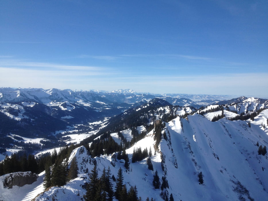
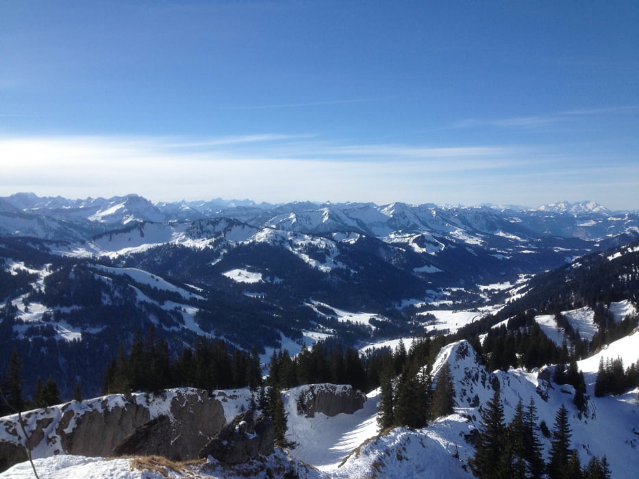
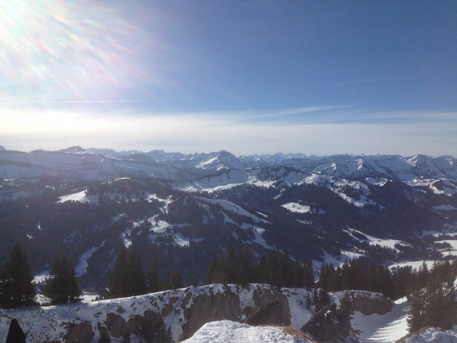
Die Aussicht vom Siplinger ist überwältigend!
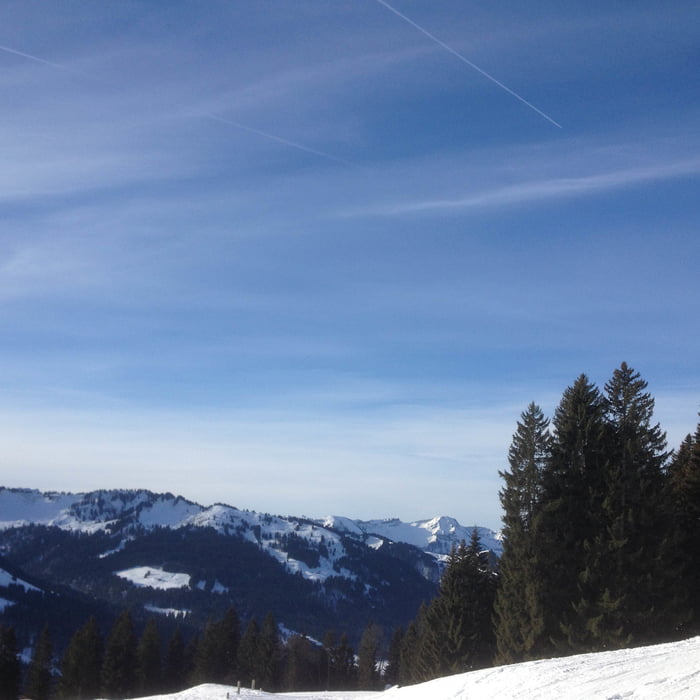
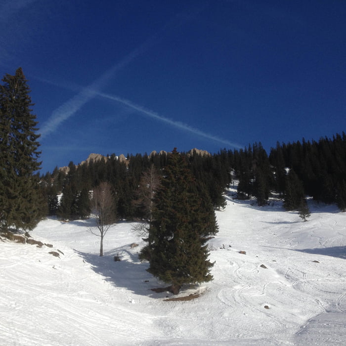
Tour gallery

Tour map and elevation profile

  • Open Street Map
  • Google
Minimum height 1053 m Maximum height 1747 m Detailed view

More about the tour author

xlink
Member since 2010

Send private message

Comments

GPS tracks

Trackpoints
  • GPX / Garmin Map Source (gpx) download
  • TCX / Garmin Training Center® (tcx) download
  • CRS / Garmin Training Center® (crs) download
  • Google Earth (kml) download
  • G7ToWin (g7t) download
  • TTQV (trk) download
  • Overlay (ovl) download
  • Fugawi (txt) download
  • Kompass (DAV) Track (tk) download
  • Track data sheet (pdf) download
  • Original file of the author (gpx) download

More about the tour author

xlink
Member since 2010

Send private message
Share track
Add to my favorites
Remove from my favorites
Edit tags
My score
Rate
Track: Balderschwang - Siplingerkopf
Type: Ski touring
Distance: 7,7 km
Evaluated on:
Duration:
Day(s)
Hour(s)
Minute(s)
Score: Landscape Fun factor Fitness Technique