


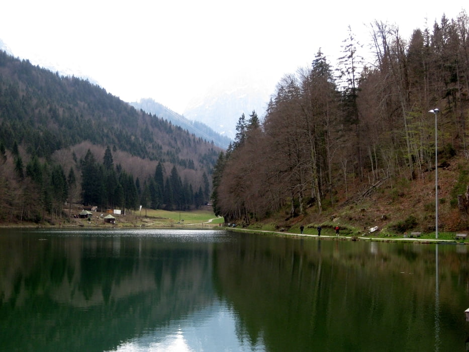
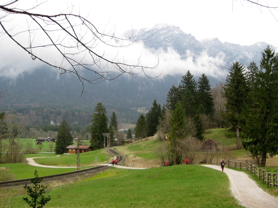
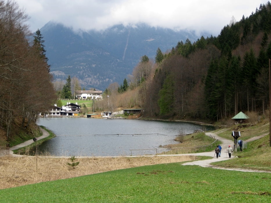
Wir starten die Wanderung am Riessersee und gehen am nördlichen Ufer entlang in Richtung der Aule Alm. An der Aule Alm wandern wir in nördlicher Richtung und kreuzen die Bahnlinie. Wir kommen auf die Kreuzeckbahnstraße, die wir aber gleich wieder verlassen und auf den Hammersbacher Fußweg einbiegen. Nachdem wir die Bahnlinie ein zweites Mal überquert haben, gelangen wir auf den Kreuzeckweg und dann zur Hammersbacher Hütte, wo wir eine gute Brotzeit bekommen. Zurück wandern wir entlang der Bahnline, bis wir die Talstationen der Kreuzeck- und Alpspitzbahn erreichen. Von hier geht es weiter in Richtung der Aule Alm. Nur 100 Meter vor der Alm führt ein Weg nach Rechts, der uns entlang dem südlichen Ufer des Riessersees zurück zum Parkplatz bringt.
Tour gallery
Tour map and elevation profile
Minimum height 714 m
Maximum height 817 m
More about the tour author

|
frank_guenther |
Comments

Startpunkt der Wanderung ist der (gebührenfreie) Parkplatz direkt am Riessersee (Riessersee Hotel)
GPS tracks
Trackpoints-
GPX / Garmin Map Source (gpx) download
-
TCX / Garmin Training Center® (tcx) download
-
CRS / Garmin Training Center® (crs) download
-
Google Earth (kml) download
-
G7ToWin (g7t) download
-
TTQV (trk) download
-
Overlay (ovl) download
-
Fugawi (txt) download
-
Kompass (DAV) Track (tk) download
-
Track data sheet (pdf) download
-
Original file of the author (gpx) download
More about the tour author
|
|
frank_guenther |
Add to my favorites
Remove from my favorites
Edit tags
Open track
My score
Rate