Login

Forgot your login?

Cookies have to be accepted!
Your browser's cookie functionality is disabled. Please enable this functionality.

Not a member yet?

Register now
Login

Available for registred users only

Log in to use this feature.

Forgot your login?

Cookies have to be accepted!
Your browser's cookie functionality is disabled. Please enable this functionality.

Not a member yet?

Register now
Filter
Categories
Advanced filters
  • Distance (km)
  • Height
Save filters Reset filter

TrackRank

QRCode

Technical data

Distance9,2 km Height317 m Way down322 m Duration00:00 h:m Date26.02.2017
Scores Author Landscape Fun factor Fitness Technique

Statistics

233 Views Scores 24 Downloads Average
Rate
  • Track data sheet
  • Directions
  • Downloads

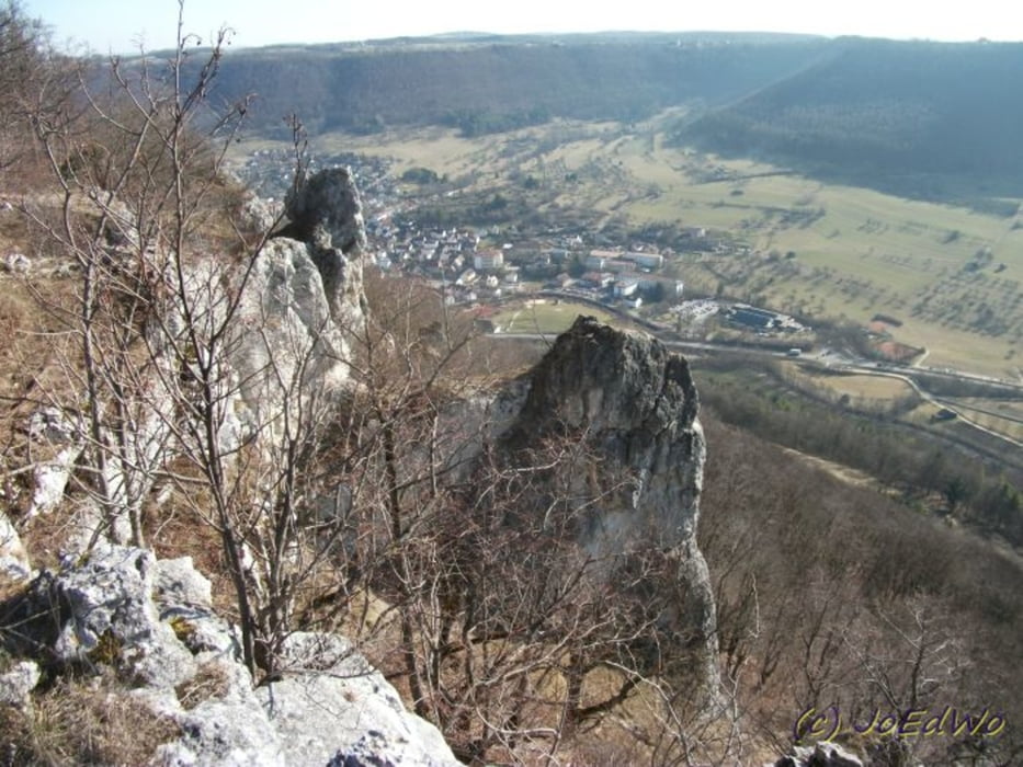
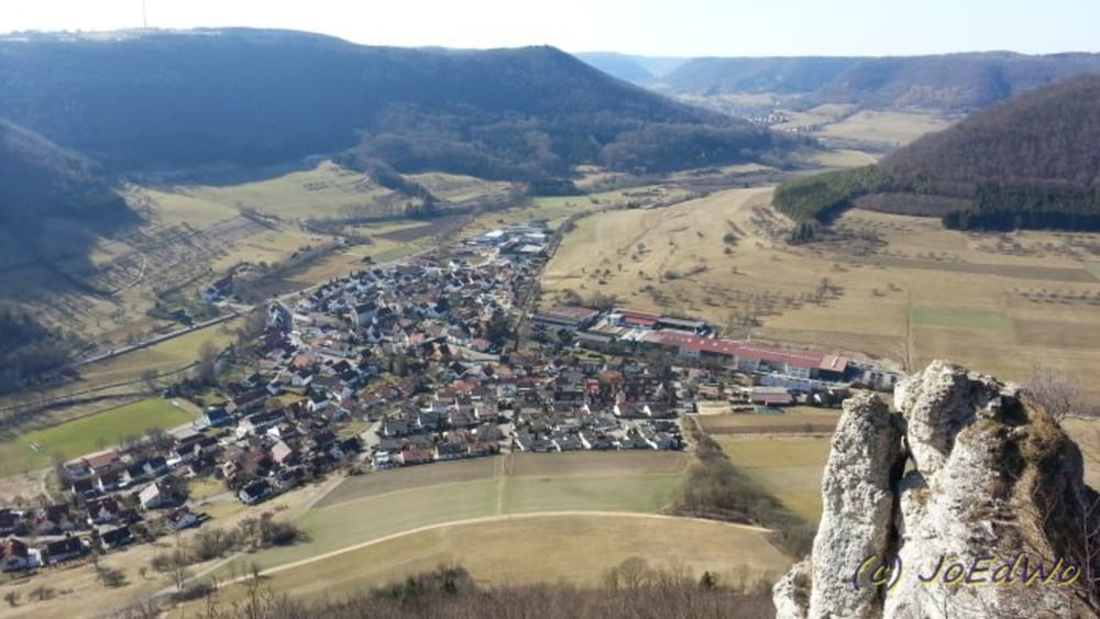
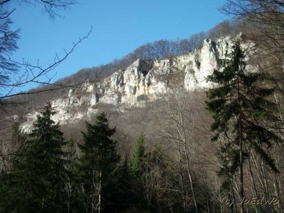
Von Hausen, im Oberen Filstal geht's hoch durch den Wald zu den Felsformationen.
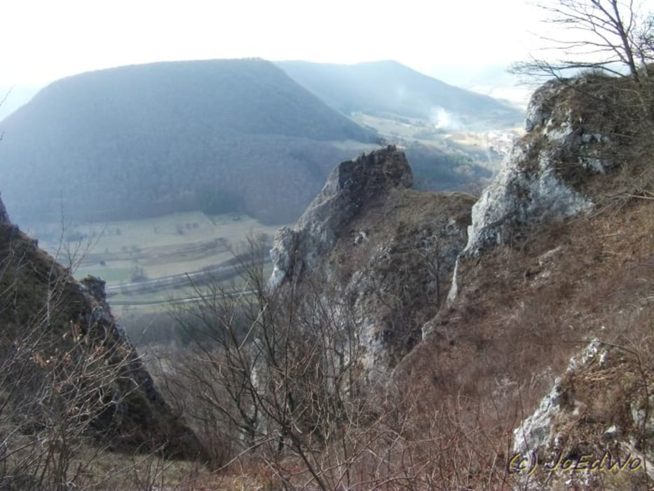
Grandiose Aussicht erwartet uns oben. Von einem Ausichtspunkt zum nächsten....
Abstieg Richtung Bad Überkingen und dann durch den Wald zurück nach Hausen


Tour gallery

Tour map and elevation profile

  • Open Street Map
  • Google
Minimum height 511 m Maximum height 793 m Detailed view

More about the tour author

Salomon
Member since 2009

Send private message

Comments

GPS tracks

Trackpoints
  • GPX / Garmin Map Source (gpx) download
  • TCX / Garmin Training Center® (tcx) download
  • CRS / Garmin Training Center® (crs) download
  • Google Earth (kml) download
  • G7ToWin (g7t) download
  • TTQV (trk) download
  • Overlay (ovl) download
  • Fugawi (txt) download
  • Kompass (DAV) Track (tk) download
  • Track data sheet (pdf) download
  • Original file of the author (gpx) download

More about the tour author

Salomon
Member since 2009

Send private message
Share track
Add to my favorites
Remove from my favorites
Edit tags
My score
Rate
Track: Hausener FelsTour
Type: Hiking
Distance: 9,2 km
Evaluated on:
Duration:
Day(s)
Hour(s)
Minute(s)
Score: Landscape Fun factor Fitness Technique