Login

Forgotten password?

Cookies have to be accepted!
Your browser's cookie functionality is disabled. Please enable this functionality.

Not a member yet?

Register now
Login

Available for registred users only

Log in to use this feature.

Forgotten password?

Cookies have to be accepted!
Your browser's cookie functionality is disabled. Please enable this functionality.

Not a member yet?

Register now
Filter
Categories
Advanced filters
  • Distance (km)
  • Height
Save filters Reset filter

TrackRank

QRCode

Technical data

Distance4,1 km Height200 m Way down200 m Duration01:40 h:m Date05.03.2017
Scores Author Landscape Fun factor Fitness Technique

Statistics

347 Views Scores 16 Downloads Average
Rate
  • Track data sheet
  • Directions
  • Downloads

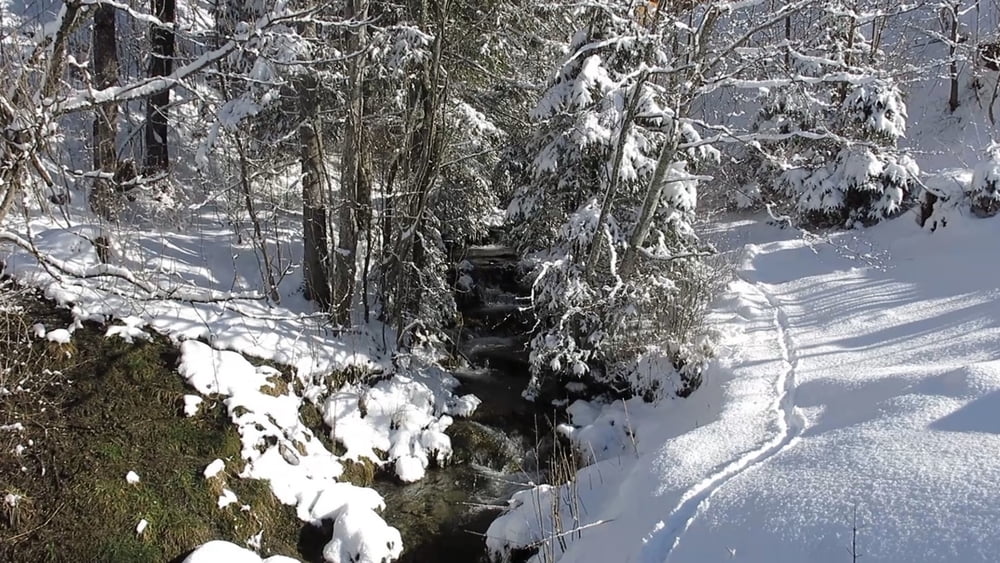
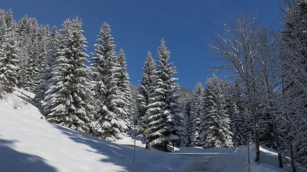
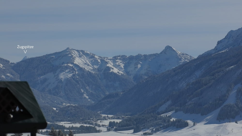
Vom Parkplatz nach rechts, links abbiegend dem Wegweiser "Zugspitzblick" folgend geht es auf wenig befahrenem Sträßchen zum Berggasthof. Auf ganzer Strecke herrliche Ausblicke ins Tal! Gleicher Weg zurück.

HINWEIS zum Video:

Mit Mozilla Firefox u.a. mit Flash- Player Plugin startet das Video direkt bei der Bildershow.

Andernfalls verwendet ihr in eurem Browser den Link:

https://youtu.be/R6eV-hJAbH4


Tour gallery

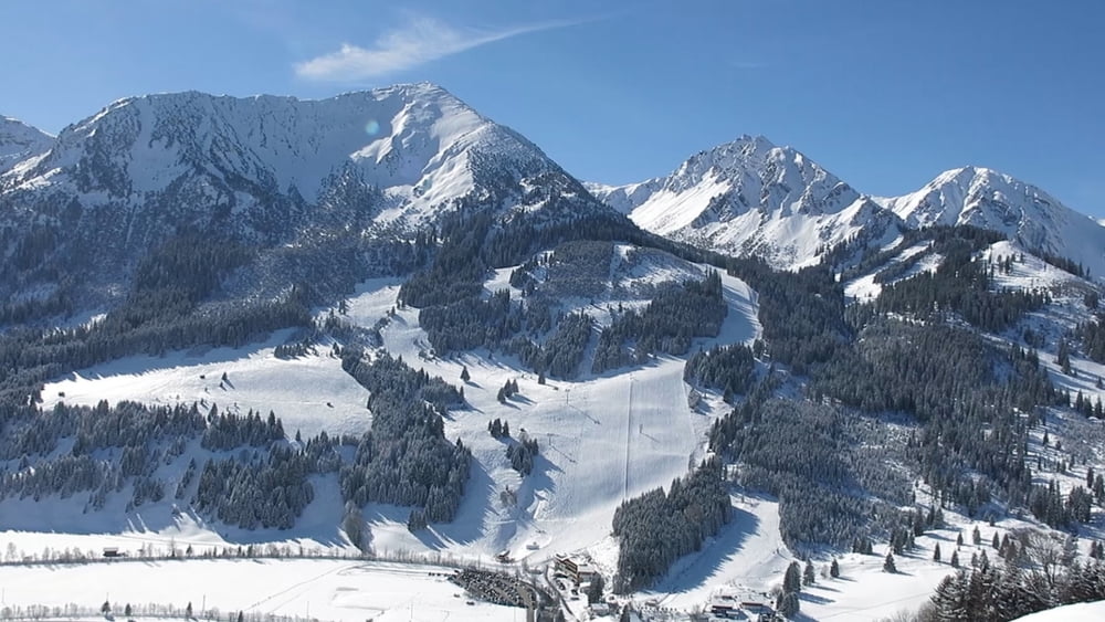
Tour map and elevation profile

  • Open Street Map
  • Google
Minimum height 1078 m Maximum height 1292 m Detailed view

More about the tour author

heinz-57
Member since 2009

Send private message

Comments

Von Westen kommend im Tannheimer Tal vor Zöblen rechts Parkplatz.

GPS tracks

Trackpoints
  • GPX / Garmin Map Source (gpx) download
  • TCX / Garmin Training Center® (tcx) download
  • CRS / Garmin Training Center® (crs) download
  • Google Earth (kml) download
  • G7ToWin (g7t) download
  • TTQV (trk) download
  • Overlay (ovl) download
  • Fugawi (txt) download
  • Kompass (DAV) Track (tk) download
  • Track data sheet (pdf) download
  • Original file of the author (gpx) download

More about the tour author

heinz-57
Member since 2009

Send private message
Share track
Add to my favorites
Remove from my favorites
Edit tags
My score
Rate
Track: Wandern Tirol: Tannheimer Tal, Zöblen zum Zugspitzblick
Type: Hiking
Distance: 4,1 km
Evaluated on:
Duration:
Day(s)
Hour(s)
Minute(s)
Score: Landscape Fun factor Fitness Technique