
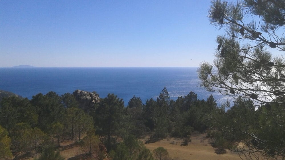

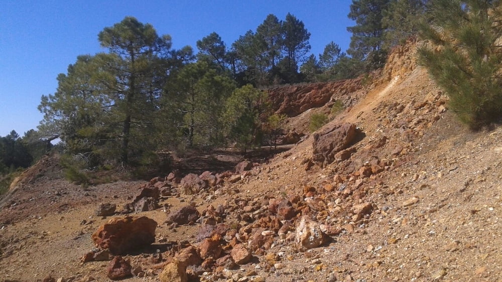
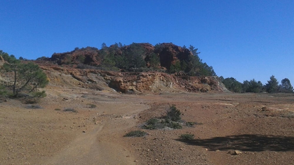
Parcheggiata l'auto si risale per splendido single track fino a raggiungere la strada sterrata della sardinia e la relativa area di sosta. Si risale per la strada fino a prendere sulla destra il single track della polveriera. Attenzione ai spesso presenti e.... veloci.... mountainbiker. Si scende nella miniera e si rientra per lo splendido single track riaperto nel 2017. Bellissimo percorso di trekking quasi tutto al sole. Ricordarsi di portare da bere ma sopratutto.... la macchina fotografica!
Further information at
http://www.capoliveribikepark.it/Tour gallery
Tour map and elevation profile
Minimum height 167 m
Maximum height 345 m
More about the tour author

|
mikyross |
Comments

italia toscana livorno isola d'elba capoliveri capoliveri bike park
GPS tracks
Trackpoints-
GPX / Garmin Map Source (gpx) download
-
TCX / Garmin Training Center® (tcx) download
-
CRS / Garmin Training Center® (crs) download
-
Google Earth (kml) download
-
G7ToWin (g7t) download
-
TTQV (trk) download
-
Overlay (ovl) download
-
Fugawi (txt) download
-
Kompass (DAV) Track (tk) download
-
Track data sheet (pdf) download
-
Original file of the author (gpx) download
More about the tour author
|
|
mikyross |
Add to my favorites
Remove from my favorites
Edit tags
Open track
My score
Rate