Login

Forgot your login?

Cookies have to be accepted!
Your browser's cookie functionality is disabled. Please enable this functionality.

Not a member yet?

Register now
Login

Available for registred users only

Log in to use this feature.

Forgot your login?

Cookies have to be accepted!
Your browser's cookie functionality is disabled. Please enable this functionality.

Not a member yet?

Register now
Filter
Categories
Advanced filters
  • Distance (km)
  • Height
Save filters Reset filter

TrackRank

QRCode

Technical data

Distance3,2 km Height5 m Way down8 m Duration00:00 h:m Date16.03.2017
Scores Author Landscape Fun factor Fitness Technique

Statistics

224 Views Scores 28 Downloads Average
Rate
  • Track data sheet
  • Directions
  • Downloads

Startpunkt ist die Innenstadt von Lobberich.

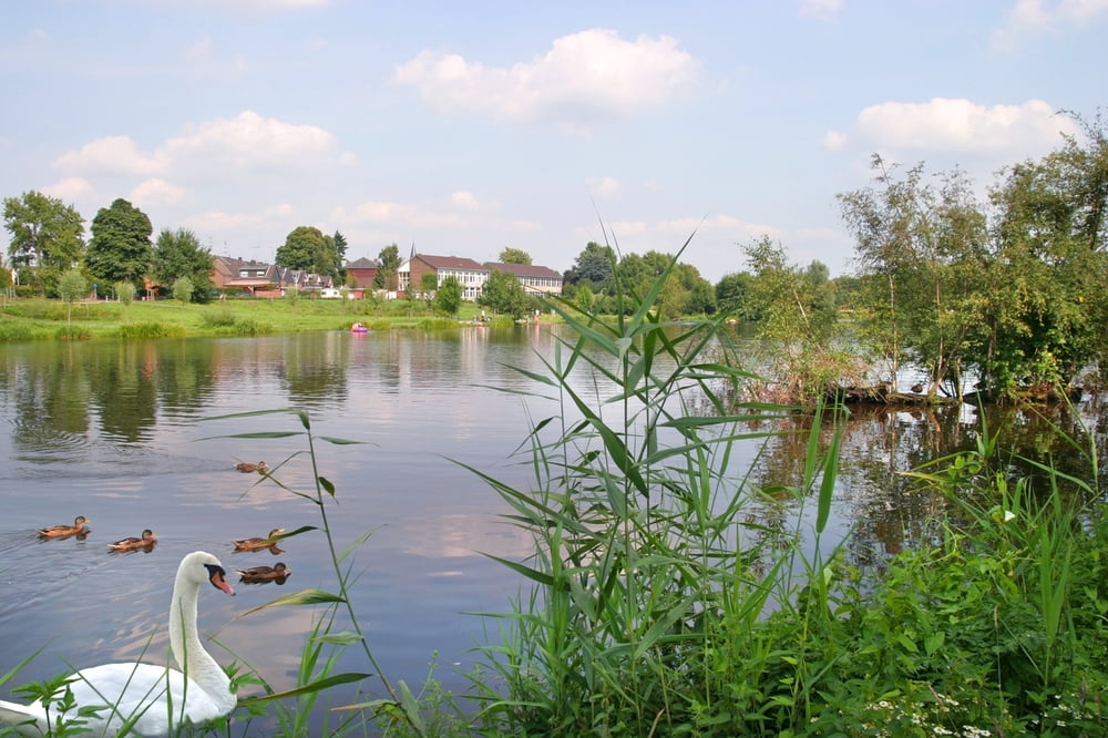
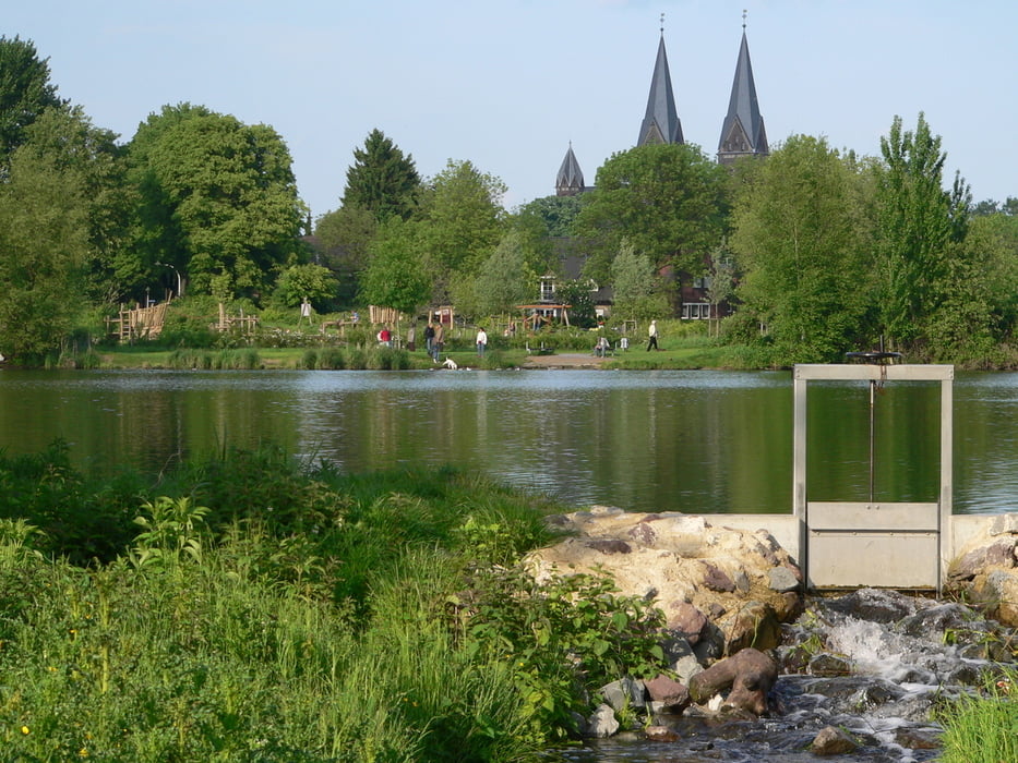
Die Tour führt Sie vom Zentrum Lobberich entlang des Windmühlenbruchs, wo Sie eine tolle Aussicht auf das Wasser genießen können.

Weiter geht es auf den gut ausgebauten Radwegen über das Onnert (Wohngebiet) bis ins Breyeller Zentrum.


Tour gallery

Tour map and elevation profile

  • Open Street Map
  • Google
Minimum height 40 m Maximum height 47 m Detailed view

More about the tour author

Stadt_Nettetal
Member since 2017

Send private message

Comments

GPS tracks

Trackpoints
  • GPX / Garmin Map Source (gpx) download
  • TCX / Garmin Training Center® (tcx) download
  • CRS / Garmin Training Center® (crs) download
  • Google Earth (kml) download
  • G7ToWin (g7t) download
  • TTQV (trk) download
  • Overlay (ovl) download
  • Fugawi (txt) download
  • Kompass (DAV) Track (tk) download
  • Track data sheet (pdf) download
  • Original file of the author (gpx) download

More about the tour author

Stadt_Nettetal
Member since 2017

Send private message
Share track
Add to my favorites
Remove from my favorites
Edit tags
My score
Rate
Track: Nettetal-Tag Radroute Lobberich-Breyell
Type: Bicycle tours
Distance: 3,2 km
Evaluated on:
Duration:
Day(s)
Hour(s)
Minute(s)
Score: Landscape Fun factor Fitness Technique