Login

Forgot your login?

Cookies have to be accepted!
Your browser's cookie functionality is disabled. Please enable this functionality.

Not a member yet?

Register now
Login

Available for registred users only

Log in to use this feature.

Forgot your login?

Cookies have to be accepted!
Your browser's cookie functionality is disabled. Please enable this functionality.

Not a member yet?

Register now
Filter
Categories
Advanced filters
  • Distance (km)
  • Height
Save filters Reset filter

TrackRank

QRCode

Technical data

Distance35,4 km Height813 m Way down815 m Duration02:30 h:m Date16.03.2017
Scores Author Landscape Fun factor Fitness Technique

Statistics

264 Views Scores 82 Downloads Average
Rate
  • Track data sheet
  • Directions
  • Downloads

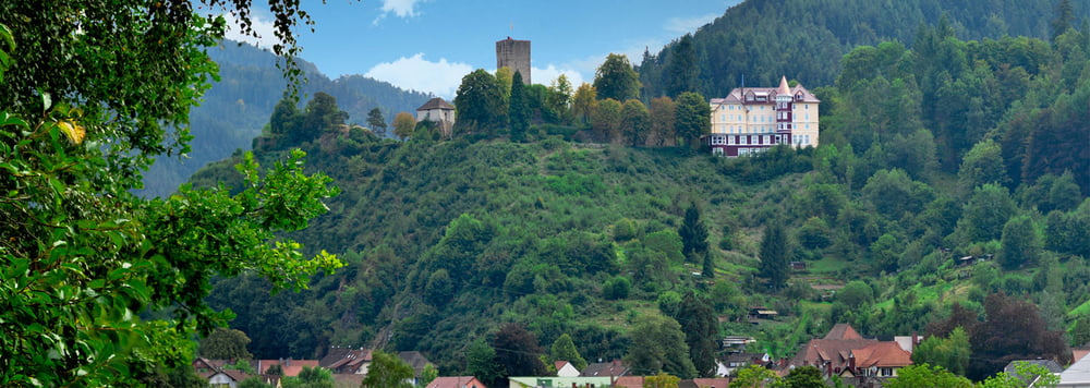
Start in Hornberg an der Freilichtbühne bzw. Schloss vorbei und ab auf den Singletrail.

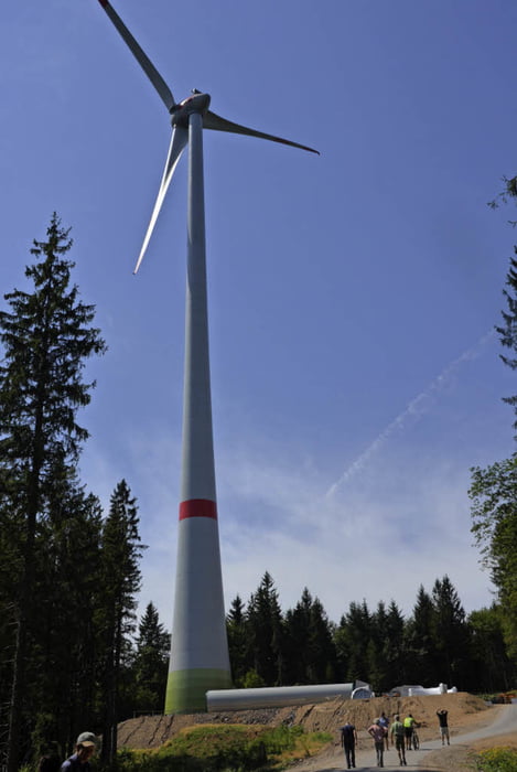
Prechtalschanze mit seinen Windrädern - gigantisch!

Ende im Ort Haslach - Belohnung ist ein EIS!


Tour gallery

Tour map and elevation profile

  • Open Street Map
  • Google
Minimum height 242 m Maximum height 837 m Detailed view

More about the tour author

Puftlumper
Member since 2012

Send private message

Comments

Zug nach Hornberg


GPS tracks

Trackpoints
  • GPX / Garmin Map Source (gpx) download
  • TCX / Garmin Training Center® (tcx) download
  • CRS / Garmin Training Center® (crs) download
  • Google Earth (kml) download
  • G7ToWin (g7t) download
  • TTQV (trk) download
  • Overlay (ovl) download
  • Fugawi (txt) download
  • Kompass (DAV) Track (tk) download
  • Track data sheet (pdf) download
  • Original file of the author (gpx) download

More about the tour author

Puftlumper
Member since 2012

Send private message
Share track
Add to my favorites
Remove from my favorites
Edit tags
My score
Rate
Track: Hornberg Haslach
Type: Mountain bike
Distance: 35,4 km
Evaluated on:
Duration:
Day(s)
Hour(s)
Minute(s)
Score: Landscape Fun factor Fitness Technique