

Schöne knackige Rennrad Runde von Kurtatsch Richtung Norden nach Kaltern, Eppan, Lana, St. Pankraz, Proves, Castelfondo und zu guter letzt bergab über den Mendelpass.
Viel Spaß am Berg !
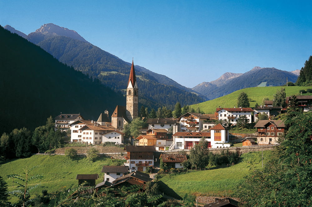
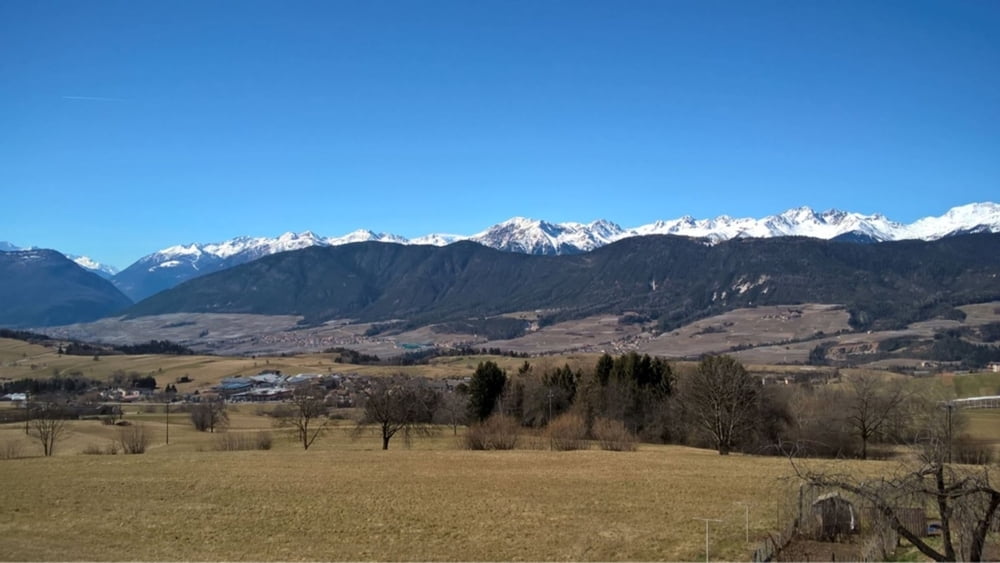
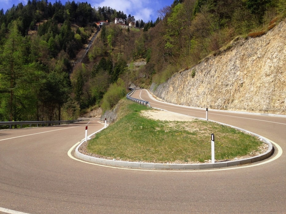
Tour gallery
Tour map and elevation profile
Minimum height 226 m
Maximum height 1687 m
More about the tour author
|
|
Hasenbaer |
Comments

Start in Kurtatsch, siehe Kartenmaterial
GPS tracks
Trackpoints-
GPX / Garmin Map Source (gpx) download
-
TCX / Garmin Training Center® (tcx) download
-
CRS / Garmin Training Center® (crs) download
-
Google Earth (kml) download
-
G7ToWin (g7t) download
-
TTQV (trk) download
-
Overlay (ovl) download
-
Fugawi (txt) download
-
Kompass (DAV) Track (tk) download
-
Track data sheet (pdf) download
-
Original file of the author (gpx) download
More about the tour author
|
|
Hasenbaer |
Add to my favorites
Remove from my favorites
Edit tags
Open track
My score
Rate