


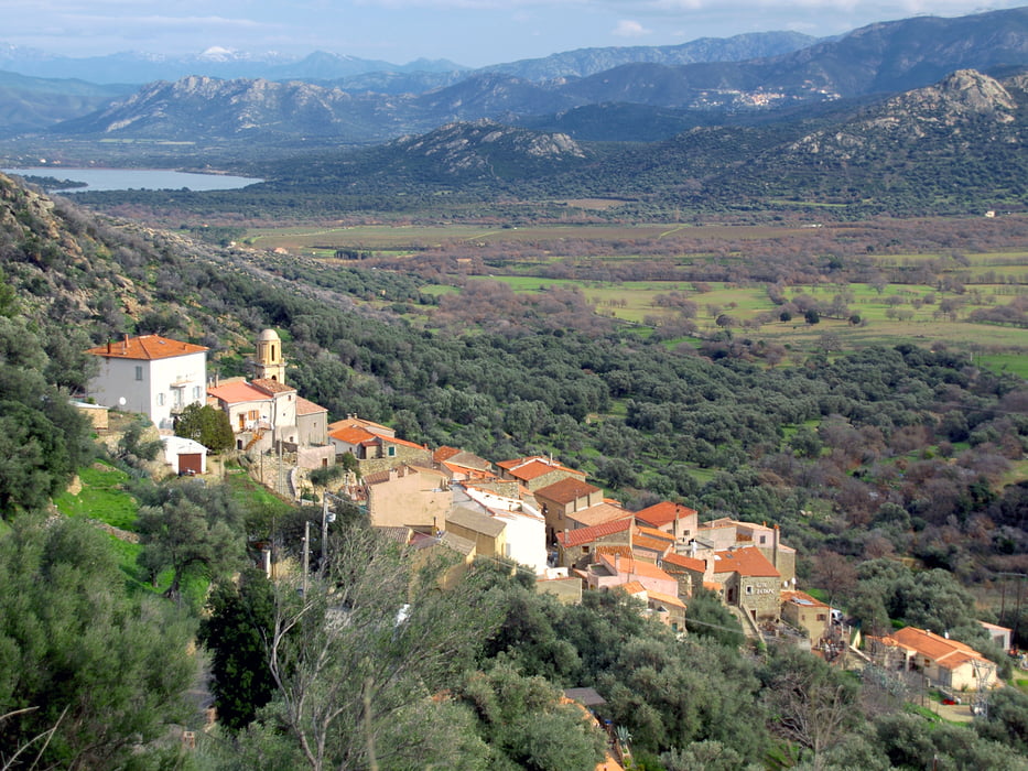
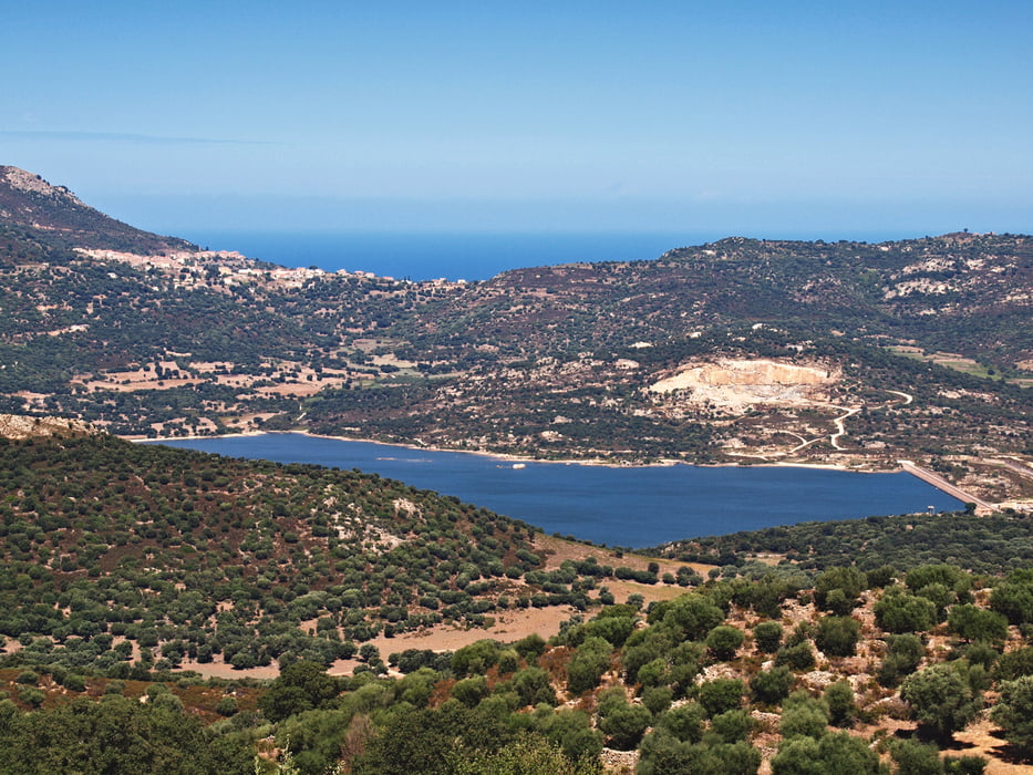
Asphalttour durch die Balagne oberhalb L'Ile Rousse, mit Abstecher nach Pigna, dem Zentrum des korsischen Kunsthandwerks. Später durch urige Dörfer und vorbei am gottverlassenen Stausee Lac de Codole.
Tourenidee vom netten MTB Paar im unten stehenden Link. Wir sind die Tour 2007 gefahren. Ich habe es seinerzeit nicht mit gps aufgenommen und deshalb mit ourxmaps nachgebaut. Google errechnet ca. 750 hm, was meinem Gefühl entspricht. Nur anfangs moderater Anstieg bis Pigna.
Bilder: Pierre Bona, Wikipedia.
Further information at
http://www.bikextra.de/mountainbike/reisen-mtb-korsika.htmTour gallery
Tour map and elevation profile
Minimum height 99999 m
Maximum height -99999 m
More about the tour author
|
|
mackator |
Comments

z.B. Parkplatz an der Abzweigung der T30 in die D151, kurz vorm Kreisverkehr/E.Leclerc L'Ile-Rousse.
GPS tracks
Trackpoints-
GPX / Garmin Map Source (gpx) download
-
TCX / Garmin Training Center® (tcx) download
-
CRS / Garmin Training Center® (crs) download
-
Google Earth (kml) download
-
G7ToWin (g7t) download
-
TTQV (trk) download
-
Overlay (ovl) download
-
Fugawi (txt) download
-
Kompass (DAV) Track (tk) download
-
Track data sheet (pdf) download
-
Original file of the author (gpx) download
More about the tour author
|
|
mackator |
Add to my favorites
Remove from my favorites
Edit tags
Open track
My score
Rate