


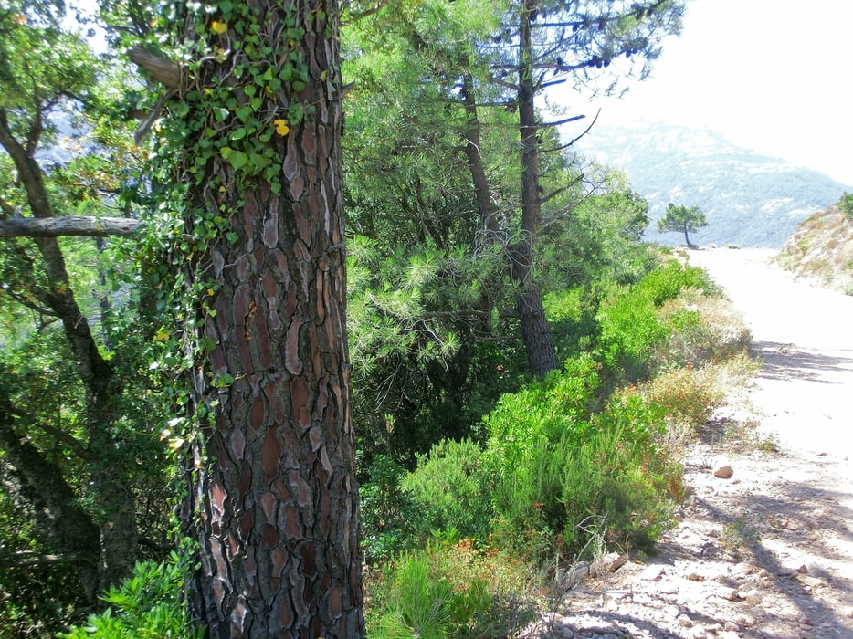
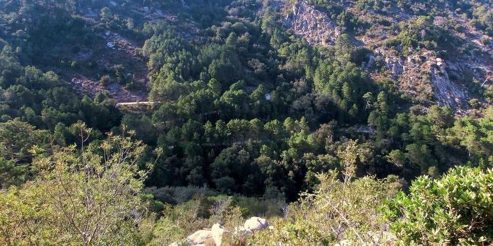
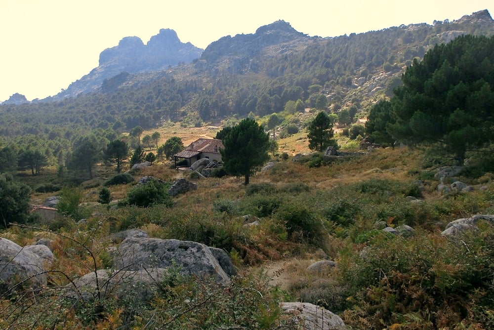
Schöne, aber schlauchende Tour zu den Bergeries de Bitalza, westlich von Porto-Vecchio, von Muratellu aus startend. 5 km Straße, gefolgt von 8 km gut befahrbarer, aber exponierter und mörderisch heißer Piste (im August - selbst schuld!), gefolgt von 7 km Forstweg durch Kiefernwald (größtenteils schattig). Das alles im stetigen Anstieg und schon man hat die Bergeries erreicht! Wer jetzt (wie wir) eine Wirtschaft mit Fanta-, Duplo- und Cappucino-Verkauf herbeisehnt, ist angearscht, denn hier oben erwartet einen ... nichts! Pain, no gain also! ;-)
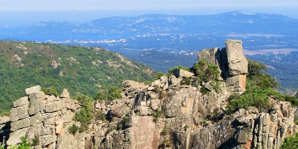
Macht geschätzt 1100 hm Aufstieg. Geschätzt, weil ich die Tour nicht aufgenommen, sondern im Nachinein per Hand erstellt habe (korrigiert mich). Auf dem Rückweg kann man sich belohnen, indem man nicht die Piste blödoid zurückfährt, sondern die D59 mit herrlichem Ausblick über die Bucht von Porto-Vecchio hinunter rast und dann die Landstraße nach links Richtung Muratellu nimmt.
Tour gallery
Tour map and elevation profile
Minimum height 99999 m
Maximum height -99999 m
More about the tour author
|
|
mackator |
Comments

Muratellu
GPS tracks
Trackpoints-
GPX / Garmin Map Source (gpx) download
-
TCX / Garmin Training Center® (tcx) download
-
CRS / Garmin Training Center® (crs) download
-
Google Earth (kml) download
-
G7ToWin (g7t) download
-
TTQV (trk) download
-
Overlay (ovl) download
-
Fugawi (txt) download
-
Kompass (DAV) Track (tk) download
-
Track data sheet (pdf) download
-
Original file of the author (gpx) download
More about the tour author
|
|
mackator |
Add to my favorites
Remove from my favorites
Edit tags
Open track
My score
Rate