


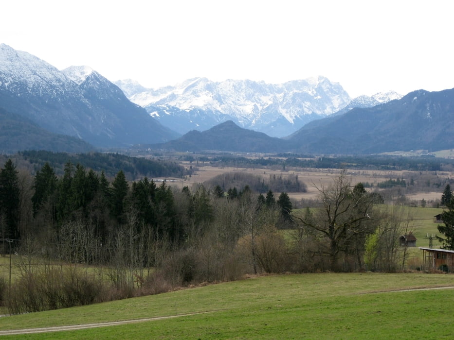
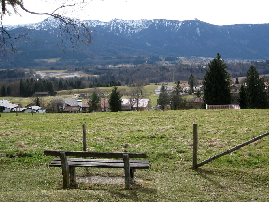
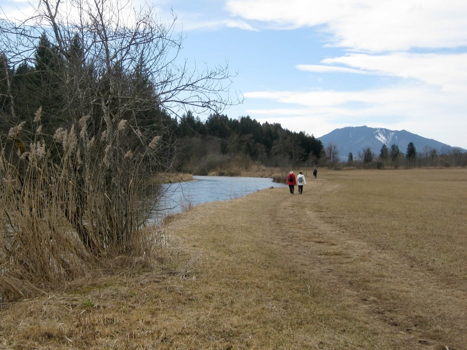
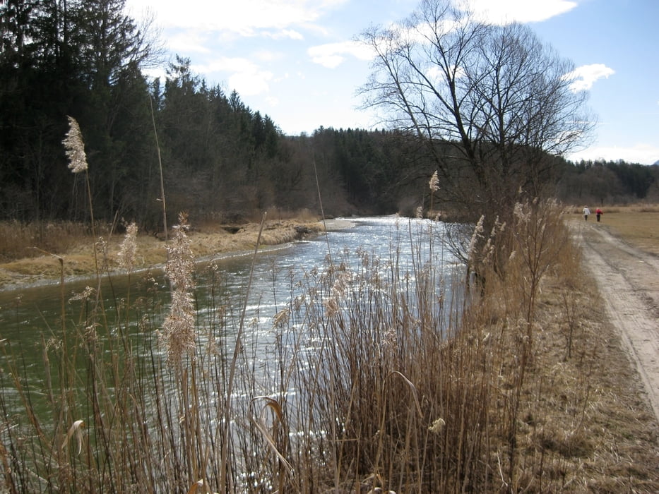
Wir starten unsere Wanderung in Hagen, "Am Kirchplatz". Nachdem wir die Kreuzung von Murnauer/Perlacher Straße überquert haben, folgen wir einem Feldweg bergan "Guglhör-Rundweg 7". Kurz vor dem Gut Guglhör führt ein Weg in den Wald hinein. Auf einem Forstweg geht es abwärts durch eine Haarnadelkurve und über einen steilen Pfad in Richtung Loisach. Nun spazieren wir ca. 3,5km an der Loisach entlang und haben einen weiten Blick über das Hagener Filz. Schließlich erreichen wir Mühlhagen und wandern über die Mühlhagener Straße bergan zu unserem Ausgangspunkt "Am Kirchplatz".
Tour gallery
Tour map and elevation profile
Minimum height 608 m
Maximum height 742 m
More about the tour author

|
frank_guenther |
Comments

In Hagen findet man "Am Kirchplatz" eine Parkgelegenheit, von wo wir unsere Wanderung beginnen.
GPS tracks
Trackpoints-
GPX / Garmin Map Source (gpx) download
-
TCX / Garmin Training Center® (tcx) download
-
CRS / Garmin Training Center® (crs) download
-
Google Earth (kml) download
-
G7ToWin (g7t) download
-
TTQV (trk) download
-
Overlay (ovl) download
-
Fugawi (txt) download
-
Kompass (DAV) Track (tk) download
-
Track data sheet (pdf) download
-
Original file of the author (gpx) download
More about the tour author
|
|
frank_guenther |
Add to my favorites
Remove from my favorites
Edit tags
Open track
My score
Rate