


Die heutige Tour beginnt bei der Sporthalle in Leonding!
Von dort durch Neue Heimat und Auwiesen zum Kraftwerk Asten. Dort überqueren wir die Donau ins schöne Mühlviertel! Weiter durch St. Georgen, Katzdorf, Gallneukirchen. Durch das Gusental nach Reichenau. Weiter nach Hellmonsödt und Kirchschlag und Eidenberg. Von da geht's dann auf einer schönen Abfahrt runter nach Grammastetten und Walding! Beim Kraftwerk Ottensheim die Donau wieder überqueren und durch Mühlbach und Dörnbach zurück nach Leonding!
Viel Spass!
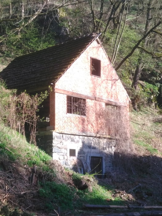
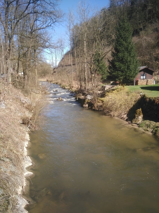
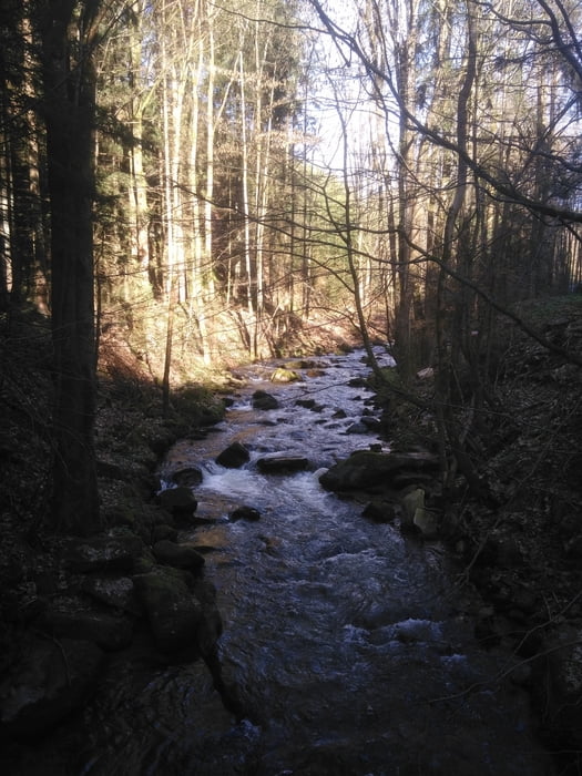
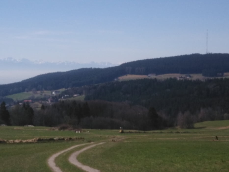
Tour gallery
Tour map and elevation profile
Minimum height 256 m
Maximum height 910 m
More about the tour author
|
|
Ritchy3 |
Comments

Starpunkt Leondinger Sportahalle oder auch Rundhalle genannt ist leicht gefunden. Adresse: Ehrenfellnerstr. 9! Genügen Parkplatz vorhanden.
GPS tracks
Trackpoints-
GPX / Garmin Map Source (gpx) download
-
TCX / Garmin Training Center® (tcx) download
-
CRS / Garmin Training Center® (crs) download
-
Google Earth (kml) download
-
G7ToWin (g7t) download
-
TTQV (trk) download
-
Overlay (ovl) download
-
Fugawi (txt) download
-
Kompass (DAV) Track (tk) download
-
Track data sheet (pdf) download
-
Original file of the author (gpx) download
More about the tour author
|
|
Ritchy3 |
Add to my favorites
Remove from my favorites
Edit tags
Open track
My score
Rate