


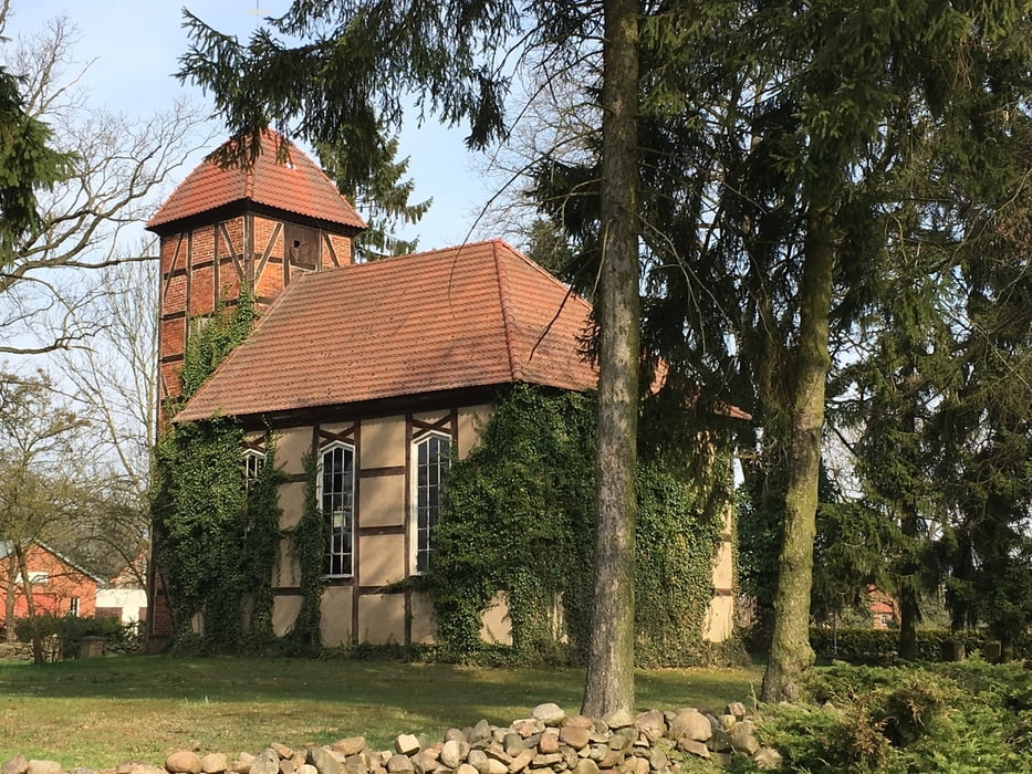
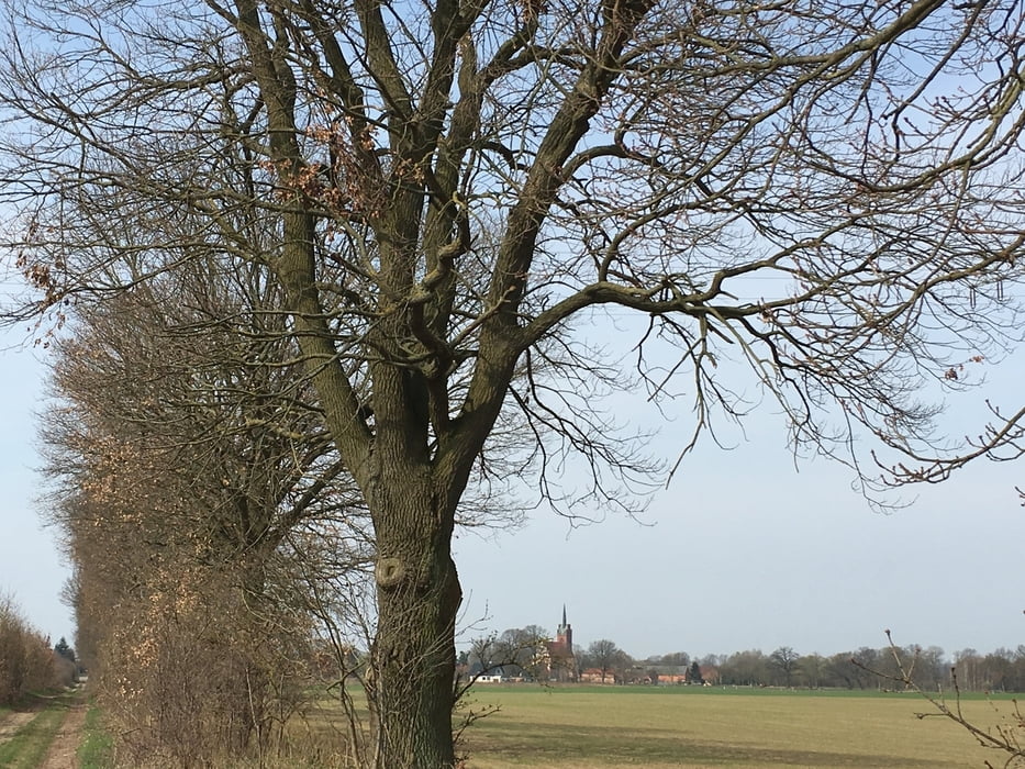
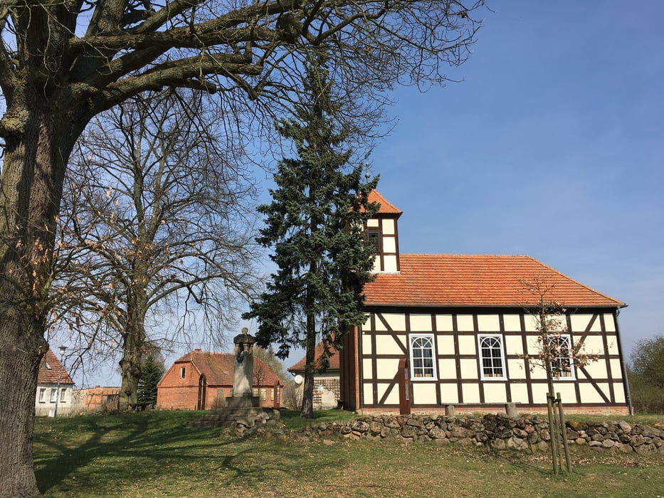
Anfang April vom Kloster Stift zum Heiligengrabe ueber Wilmersdorf, Alt-Kruessow und Boelzke zurueck nach Heiligengrabe.
Meist offenes Gelaende mit schoenen Ausblicken, nicht spektakulaer aber beruhigend.
Uns hat die Uebernachtung im Klosterhof auf dem Stiftgelaende "unter"waeltigt. Dem Preis-/Leistungsverhaeltnis wuerde eine deutliche Verbesserung von Service und Gastfreundschaft gut tun.
Further information at
http://www.annenpfad.deTour gallery

Tour map and elevation profile
Minimum height 12 m
Maximum height 104 m
More about the tour author

|
lohanhe |
Comments

Mit dem Auto nach Heiligengrabe oder einen anderen Punkt auf dem Rundweg oder mit dem RE 6 von Berlin bzw. Wittenberge nach Heiligengrabe
GPS tracks
Trackpoints-
GPX / Garmin Map Source (gpx) download
-
TCX / Garmin Training Center® (tcx) download
-
CRS / Garmin Training Center® (crs) download
-
Google Earth (kml) download
-
G7ToWin (g7t) download
-
TTQV (trk) download
-
Overlay (ovl) download
-
Fugawi (txt) download
-
Kompass (DAV) Track (tk) download
-
Track data sheet (pdf) download
-
Original file of the author (gpx) download
More about the tour author
|
|
lohanhe |
Add to my favorites
Remove from my favorites
Edit tags
Open track
My score
Rate