

Start: Ruwer-Hochwald-Radweg
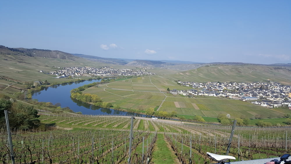
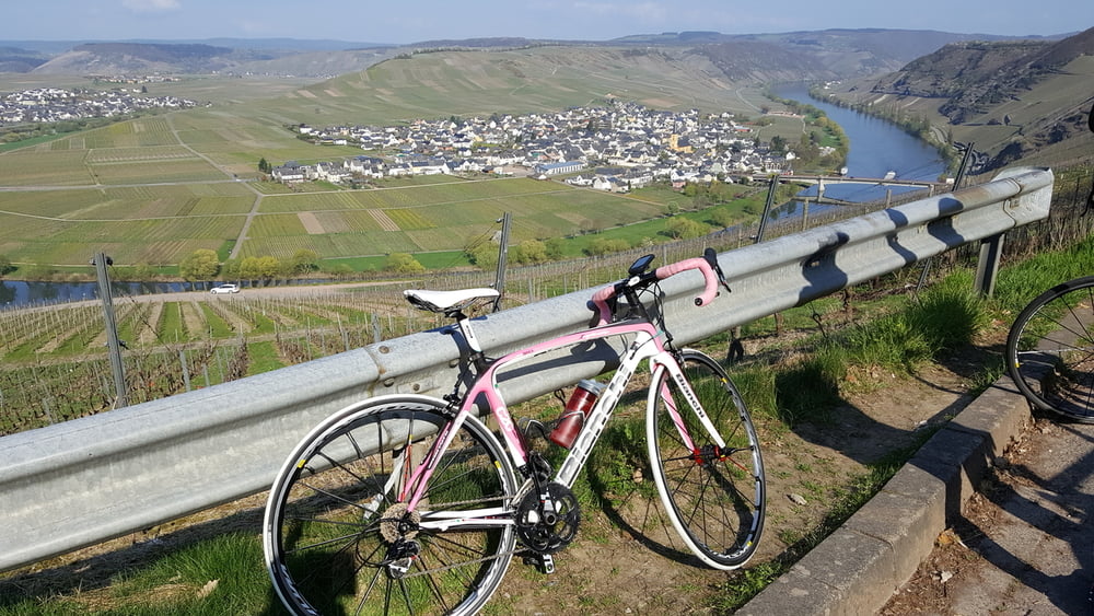
nach ca.2 KM rechte Abzweigung auf dem Radweg in Richtung Hinzert-Pölert, lange kurvenreiche Abfahrt nach Bescheid, kurzer Anstieg mit tollem Blick ins Moseltal, Abfahrt nach Leiwen, auf Radweg immer der Mosel entlang bis Kenn (ca.25km), dann nach Trier Ruwer zurück auf Ruwer-Hochwald-Radweg bis Hermeskeil
Tipp: sehr gutes Eiscafé Cortina,Brückenstr 13, Schweich, direkt im Kreisverkehr geradeaus
Tour gallery
Tour map and elevation profile
Minimum height 115 m
Maximum height 540 m
More about the tour author

|
ABC65 |
Comments

A1 Saarbrücken Richtung Köln, Abfahrt Hermeskeil
Start: Bahnhof
GPS tracks
Trackpoints-
GPX / Garmin Map Source (gpx) download
-
TCX / Garmin Training Center® (tcx) download
-
CRS / Garmin Training Center® (crs) download
-
Google Earth (kml) download
-
G7ToWin (g7t) download
-
TTQV (trk) download
-
Overlay (ovl) download
-
Fugawi (txt) download
-
Kompass (DAV) Track (tk) download
-
Track data sheet (pdf) download
-
Original file of the author (gpx) download
More about the tour author
|
|
ABC65 |
Add to my favorites
Remove from my favorites
Edit tags
Open track
My score
Rate