
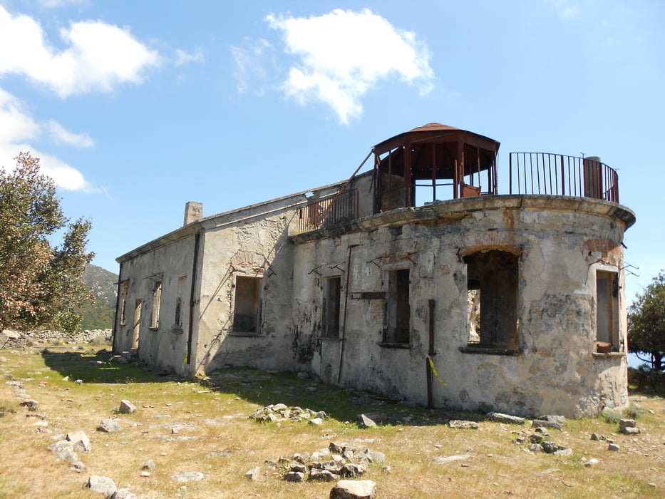

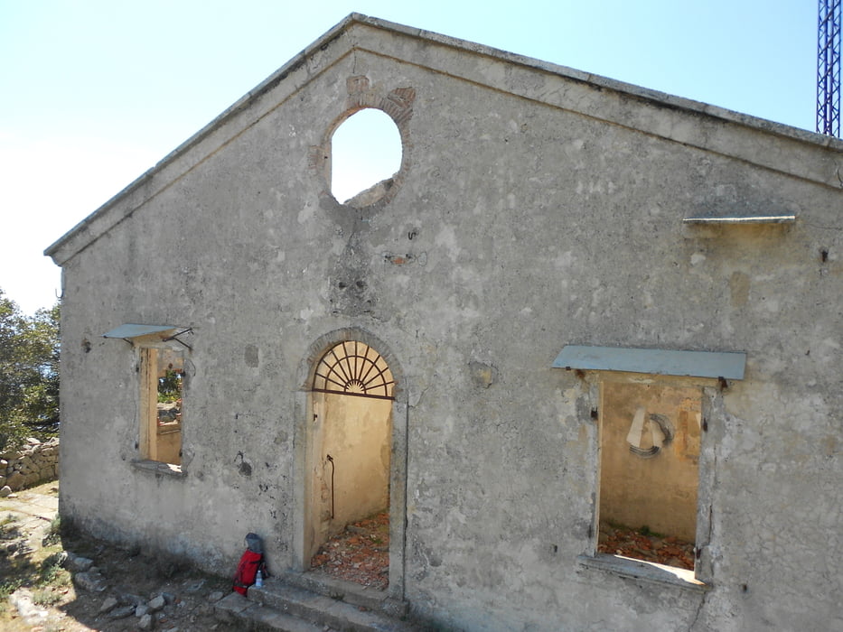
Lasciata l'auto presso Colle D'orano si percorre un breve tratto di asfalto per andare a prendere il sentiero dell'ombria segnalato ma non numerato. Si sale all'ombra seguendo fino ad agganciare il sentiero 27, Poi si prosegue a destra verso il semaforo, struttura della marina militare che merita una visita. Si torna indietro e si scende per il sentiero 26. Splendidi i panorami sia dal semaforo che scendendo dal sentiero 26. Non dimenticate la macchina fotografica!
Further information at
https://it.wikipedia.org/wiki/Semaforo_di_Campo_alle_SerreTour gallery

Tour map and elevation profile
Minimum height 127 m
Maximum height 712 m
More about the tour author

|
mikyross |
Comments

italia toscana livorno isola d'elba marciana colle d'orano
GPS tracks
Trackpoints-
GPX / Garmin Map Source (gpx) download
-
TCX / Garmin Training Center® (tcx) download
-
CRS / Garmin Training Center® (crs) download
-
Google Earth (kml) download
-
G7ToWin (g7t) download
-
TTQV (trk) download
-
Overlay (ovl) download
-
Fugawi (txt) download
-
Kompass (DAV) Track (tk) download
-
Track data sheet (pdf) download
-
Original file of the author (gpx) download
More about the tour author
|
|
mikyross |
Add to my favorites
Remove from my favorites
Edit tags
Open track
My score
Rate