Login

Forgot your login?

Cookies have to be accepted!
Your browser's cookie functionality is disabled. Please enable this functionality.

Not a member yet?

Register now
Login

Available for registred users only

Log in to use this feature.

Forgot your login?

Cookies have to be accepted!
Your browser's cookie functionality is disabled. Please enable this functionality.

Not a member yet?

Register now
Filter
Categories
Advanced filters
  • Distance (km)
  • Height
Save filters Reset filter

TrackRank

QRCode

Technical data

Distance17,0 km Height1349 m Way down1430 m Duration03:30 h:m Date20.04.2017
Scores Author Landscape Fun factor Fitness Technique

Statistics

312 Views Scores 29 Downloads Average
Rate
  • Track data sheet
  • Directions
  • Downloads

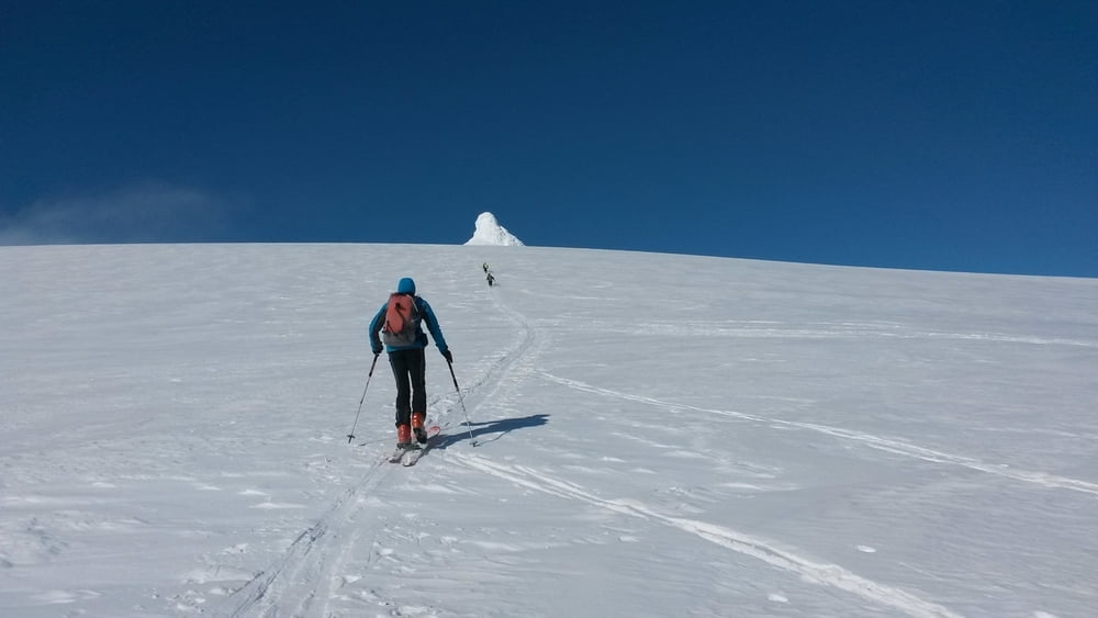
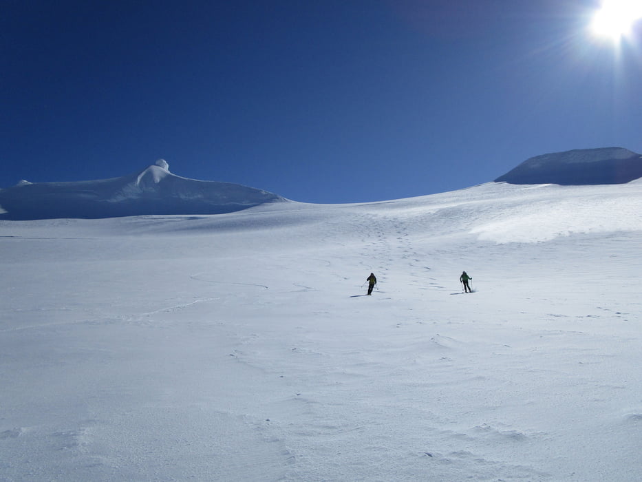
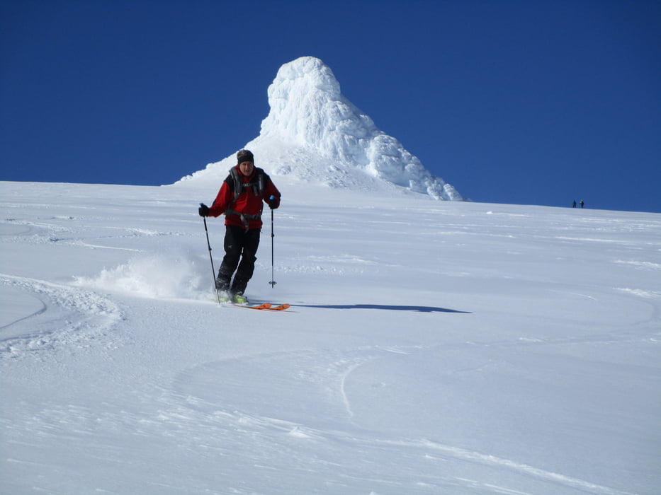
die Straße 570 soweit wie möglich hinauffahren, bei uns war schon kurz nach der Abzweigung von der Hauptstraße Schluss. Daie Straße bald nach links verlassen und dem einfachen Gelände bis zum spaltenarmen Gletscher und über diesen  zum schon weithin sichtbaren, vereisten Gupfelfelsen aufsteigen. Links an ihm vorbei und von der Nordseite die letzten Meter ohne Ski auf den Gipfel. Als Zugabe kann der Gletscher nach Norden abgeefahren werden und wieder zurück aufgestiegen werden. Auf diesem Gletscher ist allerdingsdie Spaltengefahr zu beachten.


Für die letzten Meter auf den Gipfel u.U. Steigeisen und Pickel erforderlich

Jahreszeit der Tour: Ende März


Tour gallery

Tour map and elevation profile

  • Open Street Map
  • Google
Minimum height 182 m Maximum height 1323 m Detailed view

More about the tour author

Gi
Member since 2010

Send private message

Comments

Von Borgarnes über die 54 und später 547 zur 570 (bei Arnarstapi)

GPS tracks

Trackpoints
  • GPX / Garmin Map Source (gpx) download
  • TCX / Garmin Training Center® (tcx) download
  • CRS / Garmin Training Center® (crs) download
  • Google Earth (kml) download
  • G7ToWin (g7t) download
  • TTQV (trk) download
  • Overlay (ovl) download
  • Fugawi (txt) download
  • Kompass (DAV) Track (tk) download
  • Track data sheet (pdf) download
  • Original file of the author (gpx) download

More about the tour author

Gi
Member since 2010

Send private message
Share track
Add to my favorites
Remove from my favorites
Edit tags
My score
Rate
Track: Snaeffelsjökull
Type: Ski touring
Distance: 17,0 km
Evaluated on:
Duration:
Day(s)
Hour(s)
Minute(s)
Score: Landscape Fun factor Fitness Technique