Login

Forgot your login?

Cookies have to be accepted!
Your browser's cookie functionality is disabled. Please enable this functionality.

Not a member yet?

Register now
Login

Available for registred users only

Log in to use this feature.

Forgot your login?

Cookies have to be accepted!
Your browser's cookie functionality is disabled. Please enable this functionality.

Not a member yet?

Register now
Filter
Categories
Advanced filters
  • Distance (km)
  • Height
Save filters Reset filter

TrackRank

QRCode

Technical data

Distance13,4 km Height1051 m Way down1053 m Duration04:10 h:m Date20.04.2017
Scores Author Landscape Fun factor Fitness Technique

Statistics

340 Views Scores 43 Downloads Average
Rate
  • Track data sheet
  • Directions
  • Downloads

Das erste Tal nördlich von Dalvik auf der rechten Talseite hinauf. Wo das Tal leicht links abknickt das Seitental rechts hinauf und dann wieder links haltend das Tal hinauf bis in eine Scharte. Von dort rechts bis zum Gipfel des J. Vom Gipfel steil nordöstlich hinab, so weit wie es Spaß macht. Dann wieder zu der schon in der Abfahrt offensichtlichen, rechts liegenden Rampe und bis zu einem schwach ausgeprägten Sattel. Leicht links haltend empor bis zu Gipfel des S.

 Jahreszeit der Tour: Ende März
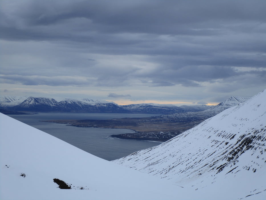
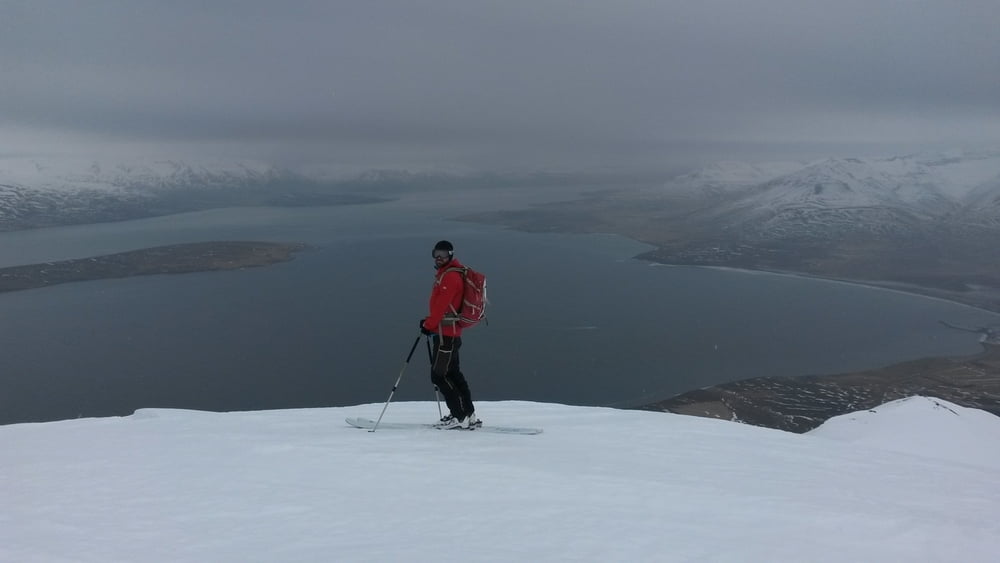
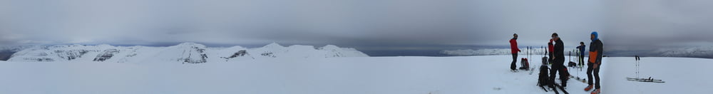
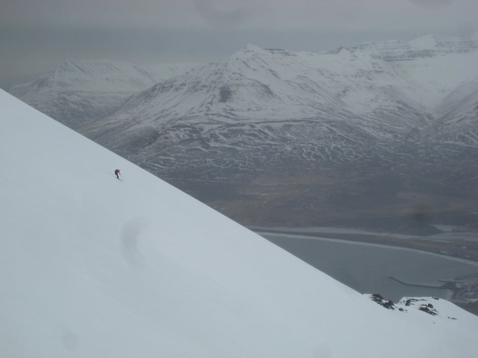
Tour gallery

Tour map and elevation profile

  • Open Street Map
  • Google
Minimum height 30 m Maximum height 884 m Detailed view

More about the tour author

Gi
Member since 2010

Send private message

Comments

Von Dalvik nach Norden, kurz nach dem Ortsende steht rechts ein weißes Haus mit rotem Dach. Kurz vor dem Haus ist eine Parkbucht. Start von hier


GPS tracks

Trackpoints
  • GPX / Garmin Map Source (gpx) download
  • TCX / Garmin Training Center® (tcx) download
  • CRS / Garmin Training Center® (crs) download
  • Google Earth (kml) download
  • G7ToWin (g7t) download
  • TTQV (trk) download
  • Overlay (ovl) download
  • Fugawi (txt) download
  • Kompass (DAV) Track (tk) download
  • Track data sheet (pdf) download
  • Original file of the author (gpx) download

More about the tour author

Gi
Member since 2010

Send private message
Share track
Add to my favorites
Remove from my favorites
Edit tags
My score
Rate
Track: Joekulkollur und Saudaneshnjukar
Type: Ski touring
Distance: 13,4 km
Evaluated on:
Duration:
Day(s)
Hour(s)
Minute(s)
Score: Landscape Fun factor Fitness Technique