

Ausgangspunkt: Agnesgasse, Buschenschank Haslinger
Stempelstelle: Gasthaus Agnesbrünnl
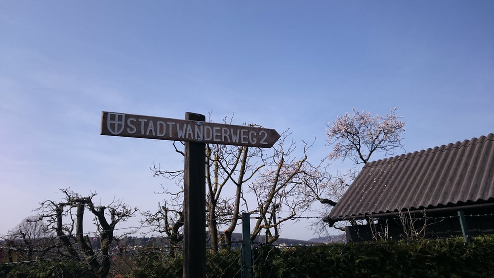
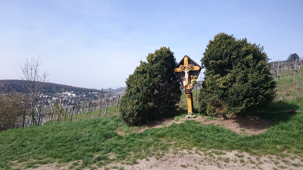
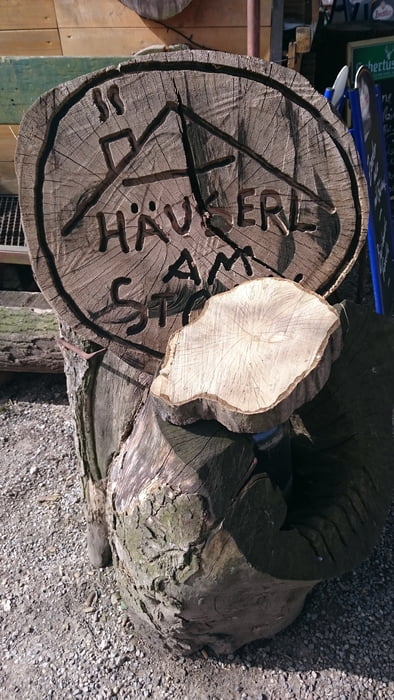
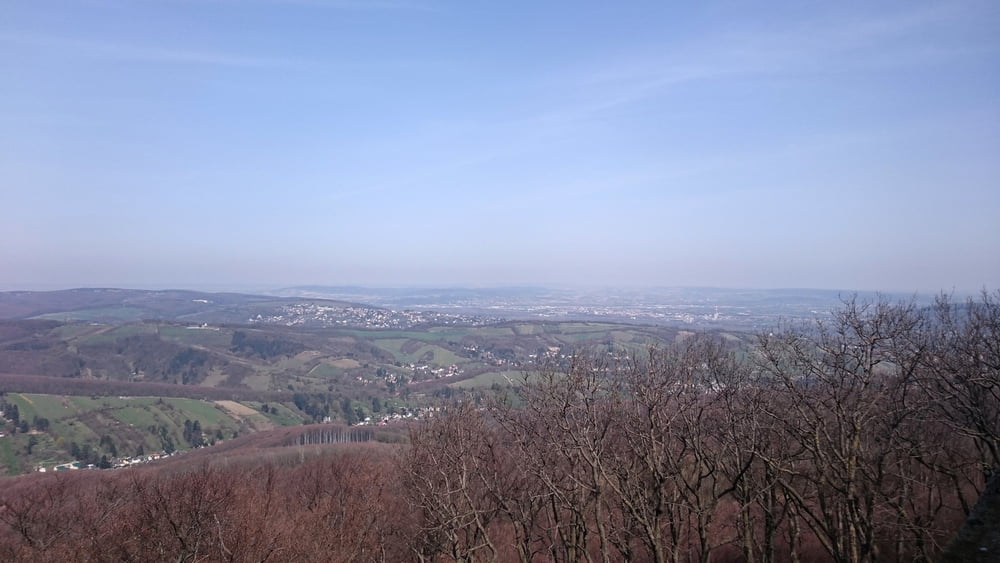
Wegverlauf: Agnesgasse – Salmannsdorfer Höhe – Häuserl am Stoan – Grüass-di-a-Gott-Wirt – Hermannskogel – Jägerwiese – Bei der Kreuzeiche – Cobenzl – Am Himmel – Gspöttgraben – Sieveringer Straße
Gaststätten am Weg:
- Häuserl am Stoan
- Häuserl am Roan (nicht direkt an der Route)
- Grüass-di-a-Gott-Wirt
- Stadtheuriger Cobenzl
- Häuserl am Himmel
- Zahlreiche Heurige in Sievering
Tour gallery
Tour map and elevation profile
Minimum height 263 m
Maximum height 539 m
More about the tour author

|
lostavar |
Comments

GPS tracks
Trackpoints-
GPX / Garmin Map Source (gpx) download
-
TCX / Garmin Training Center® (tcx) download
-
CRS / Garmin Training Center® (crs) download
-
Google Earth (kml) download
-
G7ToWin (g7t) download
-
TTQV (trk) download
-
Overlay (ovl) download
-
Fugawi (txt) download
-
Kompass (DAV) Track (tk) download
-
Track data sheet (pdf) download
-
Original file of the author (gpx) download
More about the tour author
|
|
lostavar |
Add to my favorites
Remove from my favorites
Edit tags
Open track
My score
Rate