Login

Forgot your login?

Cookies have to be accepted!
Your browser's cookie functionality is disabled. Please enable this functionality.

Not a member yet?

Register now
Login

Available for registred users only

Log in to use this feature.

Forgot your login?

Cookies have to be accepted!
Your browser's cookie functionality is disabled. Please enable this functionality.

Not a member yet?

Register now
Filter
Categories
Advanced filters
  • Distance (km)
  • Height
Save filters Reset filter

TrackRank

QRCode

Technical data

Distance15,2 km Height363 m Way down371 m Duration02:00 h:m Date02.05.2017
Scores Author Landscape Fun factor Fitness Technique

Statistics

275 Views Scores 65 Downloads Average
Rate
  • Track data sheet
  • Directions
  • Downloads

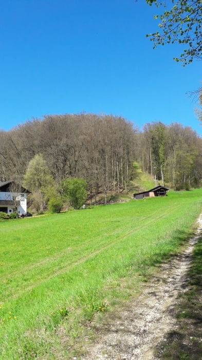
Trails im Treuchtlinger Westen kombiniert.

  • Burg
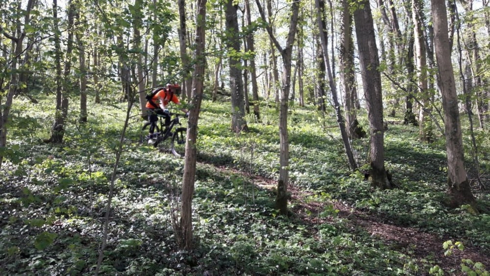
  • Patrich/Skihang - mittelschwer, mit viel Geäst/Laub
  • Perlachberg
  • Burgstall - diverse Trails, der letzte durchaus steil und anspruchsvoll :)


Tour gallery

Tour map and elevation profile

  • Open Street Map
  • Google
Minimum height 408 m Maximum height 524 m Detailed view

More about the tour author

dannyy
Member since 2015

Send private message

Comments

Am Fuss der Burg starten, Parkplatz zB oberhalb der Grundschule.


GPS tracks

Trackpoints
  • GPX / Garmin Map Source (gpx) download
  • TCX / Garmin Training Center® (tcx) download
  • CRS / Garmin Training Center® (crs) download
  • Google Earth (kml) download
  • G7ToWin (g7t) download
  • TTQV (trk) download
  • Overlay (ovl) download
  • Fugawi (txt) download
  • Kompass (DAV) Track (tk) download
  • Track data sheet (pdf) download
  • Original file of the author (gpx) download

More about the tour author

dannyy
Member since 2015

Send private message
Share track
Add to my favorites
Remove from my favorites
Edit tags
My score
Rate
Track: Treuchtlingen West - Burgstall Revisited
Type: Mountain bike
Distance: 15,2 km
Evaluated on:
Duration:
Day(s)
Hour(s)
Minute(s)
Score: Landscape Fun factor Fitness Technique