Login

Forgot your login?

Cookies have to be accepted!
Your browser's cookie functionality is disabled. Please enable this functionality.

Not a member yet?

Register now
Login

Available for registred users only

Log in to use this feature.

Forgot your login?

Cookies have to be accepted!
Your browser's cookie functionality is disabled. Please enable this functionality.

Not a member yet?

Register now
Filter
Categories
Advanced filters
  • Distance (km)
  • Height
Save filters Reset filter

TrackRank

QRCode

Technical data

Distance8,4 km Height899 m Way down908 m Duration00:00 h:m Date04.05.2017
Scores Author Landscape Fun factor Fitness Technique

Statistics

265 Views Scores 37 Downloads Average
Rate
  • Track data sheet
  • Directions
  • Downloads

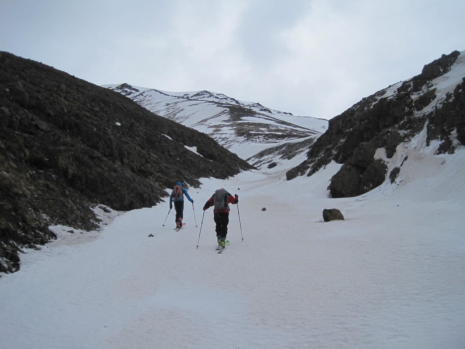
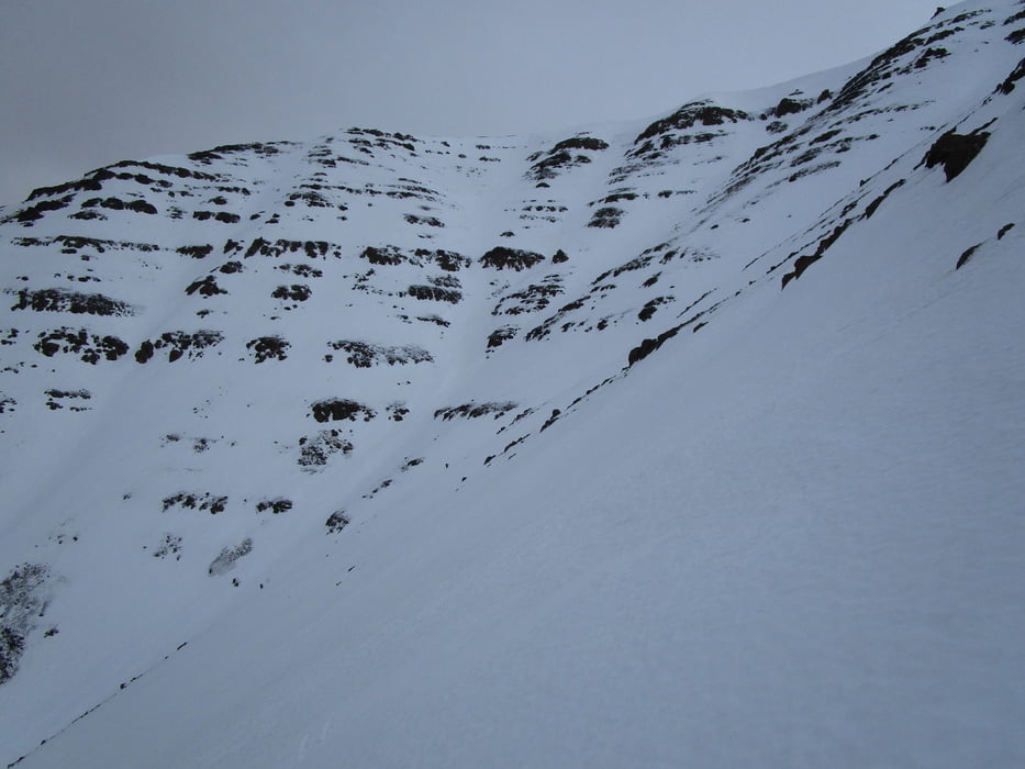
Nördlich des Baches Þverá Über wiesen zu etwas versteckter Rinne. In der Rinne empor. Im oberen Teil je nach Verhältnissen links, in der Mitte oder am leichtesten rechts empor. Wir drehten wegen Schlechtwetter und steinig-eisigen Verhältnissen im obersten Teil kurz vor Erreichen des Hochplateaus um

 Jahreszeit der Tour: Ende März

Tour gallery

Tour map and elevation profile

  • Open Street Map
  • Google
Minimum height 87 m Maximum height 993 m Detailed view

More about the tour author

Gi
Member since 2010

Send private message

Comments

Von Akureyri auf der 829 nach Süden. Kurz vor der Þverá-Brücke zweigt links ein kleiner Weg ab, entweder an der Straße parken oder den Weg ein kurzes Stück empor zu einer Wiese.


GPS tracks

Trackpoints
  • GPX / Garmin Map Source (gpx) download
  • TCX / Garmin Training Center® (tcx) download
  • CRS / Garmin Training Center® (crs) download
  • Google Earth (kml) download
  • G7ToWin (g7t) download
  • TTQV (trk) download
  • Overlay (ovl) download
  • Fugawi (txt) download
  • Kompass (DAV) Track (tk) download
  • Track data sheet (pdf) download
  • Original file of the author (gpx) download

More about the tour author

Gi
Member since 2010

Send private message
Share track
Add to my favorites
Remove from my favorites
Edit tags
My score
Rate
Track: Sigtunafiall
Type: Ski touring
Distance: 8,4 km
Evaluated on:
Duration:
Day(s)
Hour(s)
Minute(s)
Score: Landscape Fun factor Fitness Technique